All stages on La Vélomaritime / EuroVelo 4
Pleslin-Trigavou / Saint-Malo

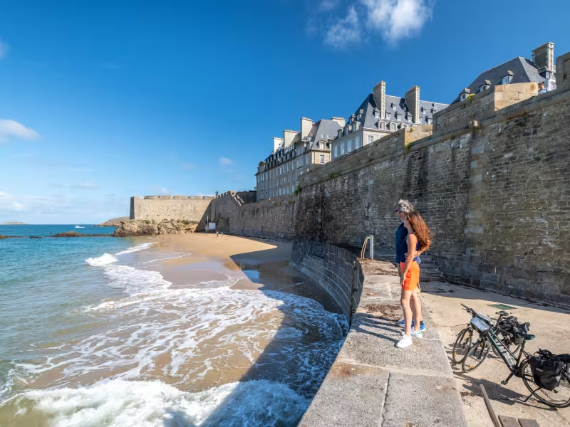
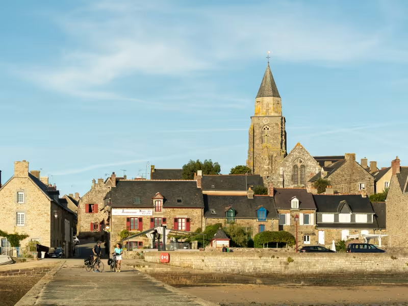

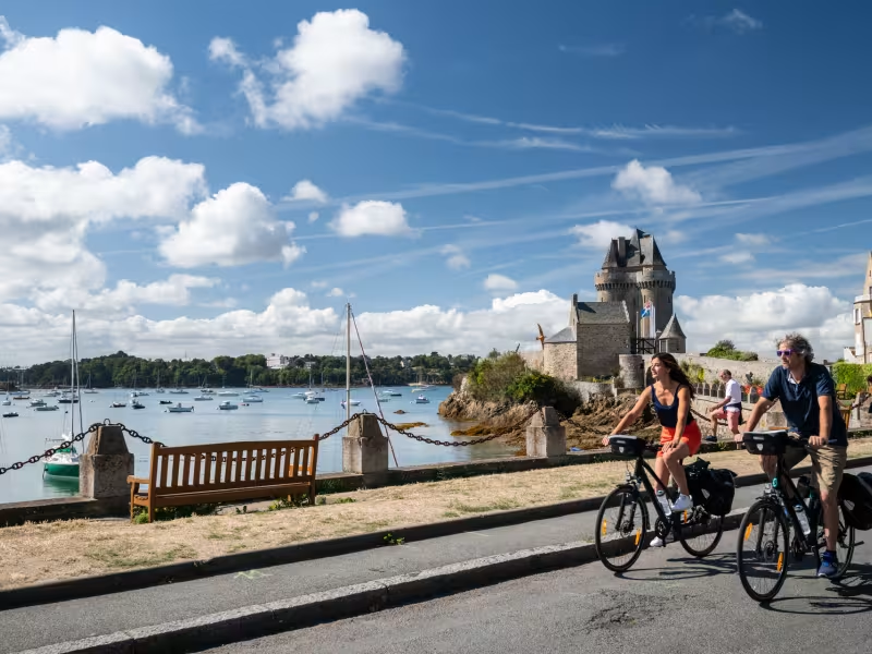
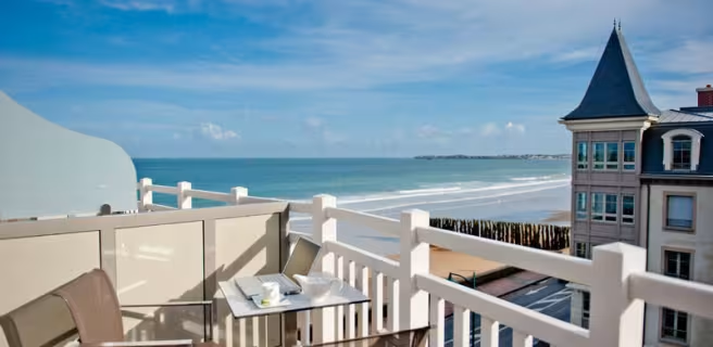
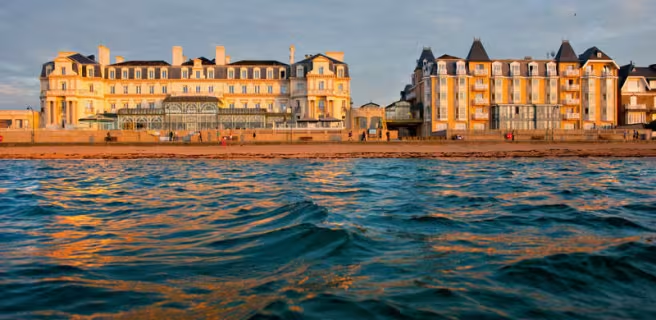
To avoid crossing the dam over the Rance River, the Vélomaritime route takes you along minor roads around the Rance Valley. Midway along the stage, stop at Saint-Suliac, this historic fishermen's village a member of the association Les Plus Beaux Villages de France. Before long, the ramparts around the city of St-Malo come into view. Reaching this place's resort side, the wooden groynes projecting from the beach into the sea help calm the Channel's wilder waves.
Gradients and elevation
Ascents: 233m
Descents: 307m
Lowest point: 4m
Highest point: 97m
Répartition des pentes
1km descente forte (< -5%)
8km descente légère (-5% à -1%)
16km plat (-1% à 2%)
2km montée (2% à 5%)
0.51km montée difficile (5% à 8%)
Road types
3km (9%) de voies cyclables
25km (91%) de routes partagées
Surface
28km (100%) de surface lisse
The route
You leave the Breton county of Côtes d'Armor for that of Ille-et-Vilaine after Plouër-sur-Rance, passing via Saint-Hubert bridge, following signposting for the cycle route. Do take care cycling towards Saint-Malo.
Signposted link, 1.2km in length, towards Saint-Malo train station "
SNCF
- Nearby station Saint-Malo station: TGV and TER to Rennes, Paris, TER to Dol-de-Bretagne
Trains and transport on the route
- Gare de Saint-Malo (1,3 km de l'itinéraire) : TGV et TER vers Rennes, Paris, TER vers Dol-de-Bretagne.
Pour rejoindre la gare de Saint-Malo depuis l'itinéraire : au niveau du quai Saint-Vincent, prendre l'avenue Louis Marin et suivre les panneaux routiers "Gare"