All stages on Grande Traversée du Rhône by mountain bike
St-André-la-Côte / St-Maurice-sur-Dargoire
Alexandre MONCORGE 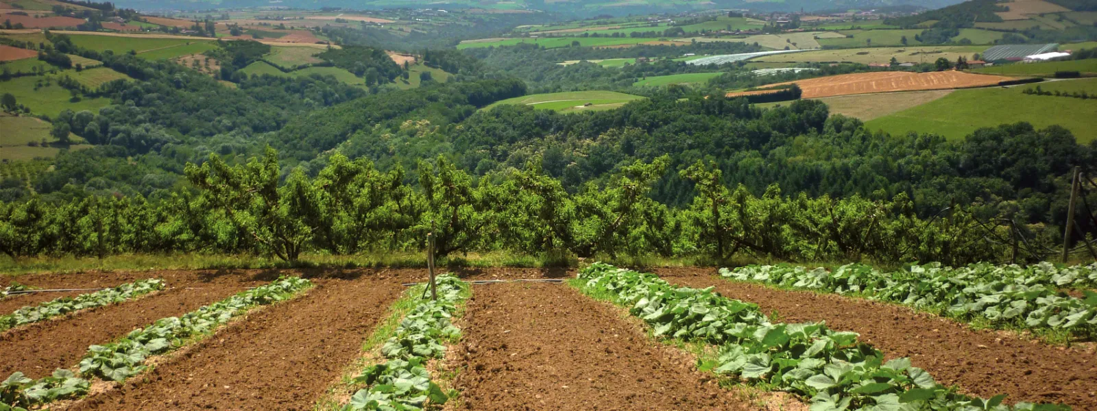
St-André-la-Côte
St-Maurice-sur-Dargoire
From the heights of Saint-André-la-Côte, pedal along deciduous woodland trails, small roads and rolling lanes, amid a rural backdrop of farm hamlets. After the village of Riverie, situated on a rocky spur overlooking the Rhône valley and the Mornant plateau, plunge into the trails of the Espace Naturel Sensible de la vallée du Bozançon, enjoying views of the Pilat massif and the Monts du Lyonnais.
The cycle route
This stage of the GTR VTT has a predominantly downhill profile. At Riverie, a rapid 5 km descent for 350 m of D- before a final climb to arrive south of Saint-Maurice-sur-Dargoire.
Common route with the Grand Tour des Monts du Lyonnais over 9 km from Saint-André-la-Côte to Sainte-Catherine.
Points to watch :
- Crossing the D2 before l'Arzelier.
Gradients and elevation
Ascents: 255m
Descents: 691m
Lowest point: 352m
Highest point: 845m
Don't miss
- Pays mornantais mountain biking site
- Bozançon valley sensitive natural area
- Saint-André-la-Côte Romanesque church
- Medieval village of Riverie
- Belvedere (orientation table) with views as far as the Alps and Mont-Blanc
- Gier Roman aqueduct - Jurieux bridge