All stages on Grande Traversée du Rhône by mountain bike
St-Maurice-sur-Dargoire / Croix Régis
Alexandre MONCORGE 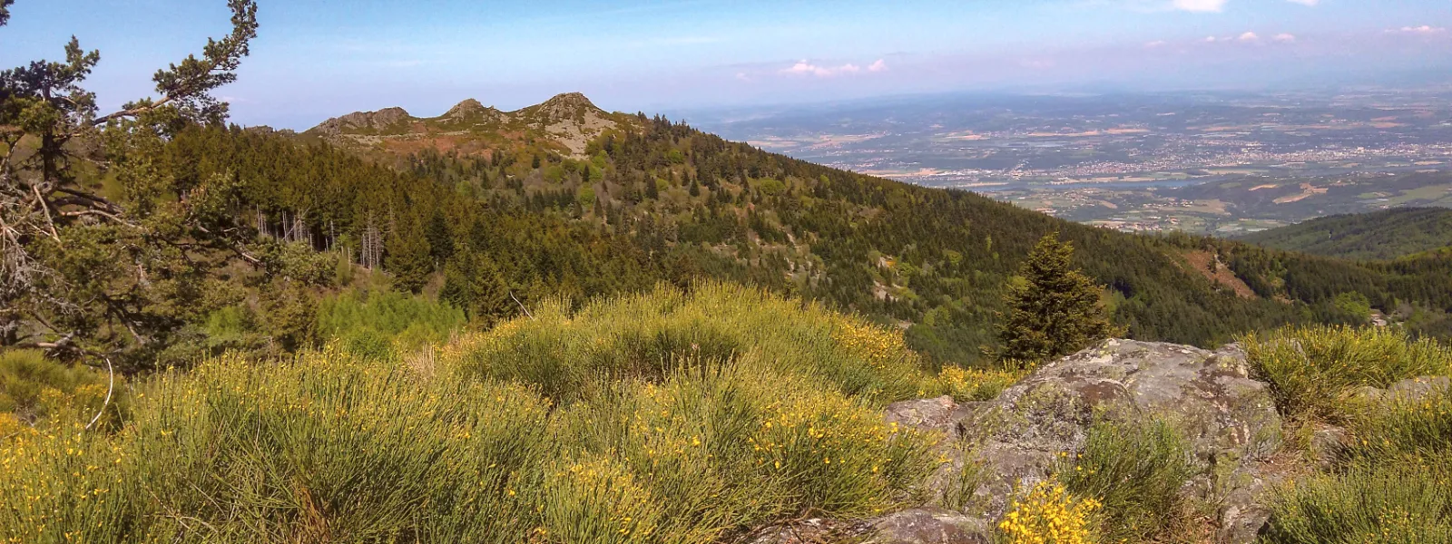
St-Maurice-sur-Dargoire
Croix Régis
Technical and chaotic descents on rocky slabs, climbs on stony paths... there's no respite on this long mountain bike trail that takes you into the Pilat Regional Nature Park after crossing the Gier valley. A feast for the eyes, perhaps less so for the legs!
The cycle route
A generally technical and sporty stage, with a first section on rocky slabs to descend to the Gier, followed by a climb to Croix Régis in 2 stages, totalling around 500 metres of D+.
Points to watch
- Descent on granite slabs, slippery trail in wet weather (after chemin des Ponçonnières).
- Crossing the D342 at Flachemaron
Gradients and elevation
Ascents: 633m
Descents: 550m
Lowest point: 181m
Highest point: 560m
Don't miss
- Chemin Turigneux cross (Saint-Maurice-sur-Dargoire)
- Conical well near the secular oak (Le Layer, Saint-Maurice-sur-Dargoire)
- Gier Roman aqueduct - Pont des Granges
- Château d'Écossieux
- Pilat regional park
- Pêt du Loup sensitive natural area