Rochefort / Marennes
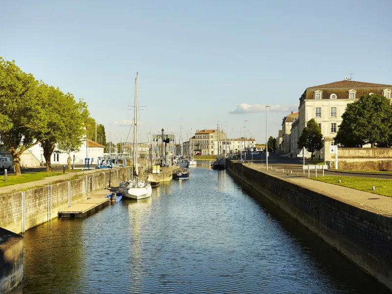
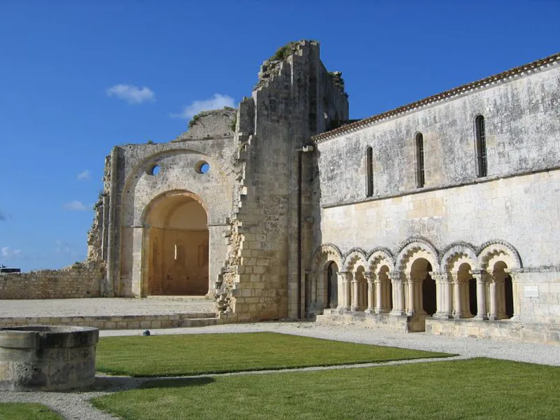

It’s with great regret that we leave behind Rochefort and its gardens on the banks of the Charente. We take the former steam-train tracks – now the greenway – and La Vélodyssée meets the marshes, criss-crossed with little channels, before heading onto the oyster centre of Marennes (some sections under construction).
Gradients and elevation
Road types
Surface
Itinerary
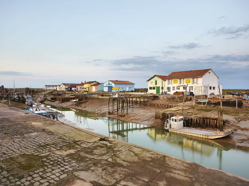
Exit from Rochefort on roads then it’s almost all cycle lanes up to Tonnay-Charente. Cross this town on roads then take cycle lanes towards Cabariot and the greenway along the former steam-train tracks leading to Saint-Agnant (look out for the fantastic bridge over the Charente). Upon leaving Saint-Agnant there is a greenway along the canal: some parts of this section will have tricky surfaces in the event of heavy rain. Take care when arriving into Marennes because the RD 728 is very busy, as is the roundabout on the way into the town.
Head towards the renowned beauty spot and former citadel of Brouage via a shared road - very busy in peak season.
Head towards Bourcefranc-le-Chapus to get across to the Isle of Oléron.
Connections
Head towards the renowned beauty spot and former citadel of Brouage via a shared road - very busy in peak season.
Head towards Bourcefranc-le-Chapus to get across to the Isle of Oléron.