All stages on La Vélomaritime / EuroVelo 4
Erquy / Matignon
Agence Les Conteurs 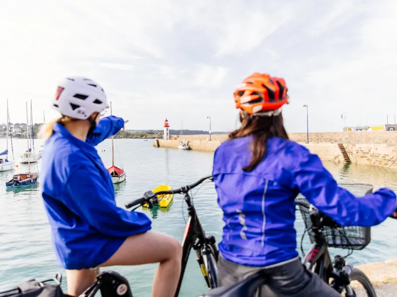
Dodo sous tente 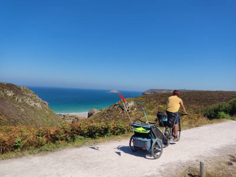
Agence Les Conteurs 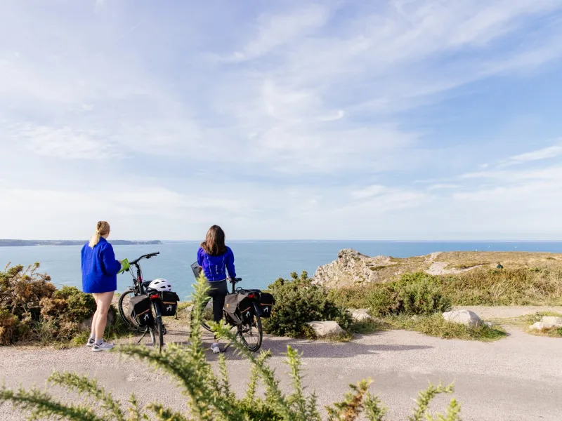
A. Allaire 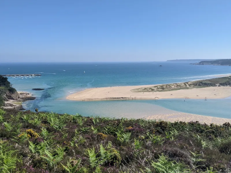
Agence Les Conteurs 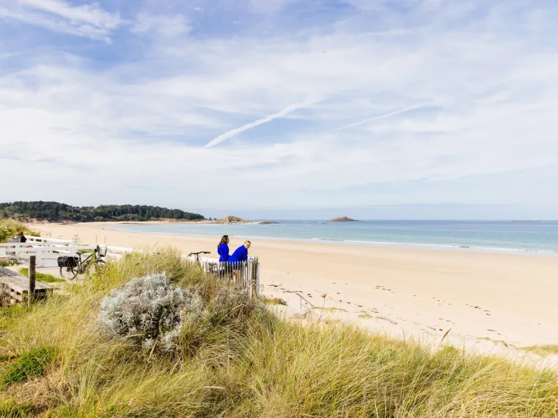
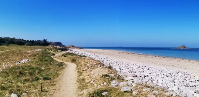
With its mix of rocky headlands, stretches of moorland and sandy bays set beside turquoise waters, here you cycle through the Grand Site de France Cap d’Erquy - Cap Fréhel. Thanks to the links in place, you can easily ride up to some of Brittany's most exceptional sites, the Cap d’Erquy, the Cap Fréhel and Fort La Latte. The breathtaking views along the way are a reward for the quite significant slopes you have to tackle on this Vélomaritime stage!
Gradients and elevation
Ascents: 185m
Descents: 172m
Lowest point: 0m
Highest point: 71m
Road types
20km (70%) By road
9km (30%) Cycle path
Surface
20km (70%) Smooth
8km (29%) Unpaved
The route
Mainly along minor roads that don't present any major difficulties, but with some significant slopes.
Take care after Plévenon at Port-la-Duc, after the segregated stretch, where crossing the D786 road can be dangerous because traffic is often busy here.
Links
- From Erquy, with the greenway at the level of Ville Tréhen, a 6km link allows you to reach the Cap d'Erquy.
- To see Cap Fréhel, there's a 1.5km link that leads you to the end of the headland with its lighthouse.
- From Plévenon, at the crossroads at the Rue de La Motte, a further 3km-long link allows you to reach Fort La Latte.
- From Matignon, there is a 3 km link to the seaside resort of Saint-Cast-le-Guildo.
Trains and transport on the route
- Car + vélo : L'été, embarquez votre vélo entre :
- Saint-Brieuc et Saint-Cast-le-Guildo (ligne 2 du réseau Breizhgo) avec 5 points d'arrêt
- Dinan et Sables-d'Or-les-Pins - Fréhel (ligne 1 des navettes Dinamo Estival)