Chambon-sur-Voueize / Chatelus-Malvaleix
This stage begins at Chambon sur Voueize, with Its imposing 11th-century abbey church dedicated to St Valery and boasting exceptional Romanesque art. Follow in the literary footsteps of George Sand at Boussac, a majestic château atop its cliff. Then follow the northern link of the Tour de Creuse cycle route, to the village of Châtelus Malvaleix.
The route
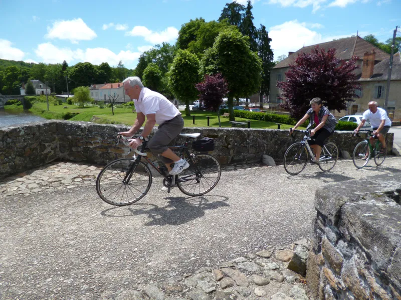
Taking you along quiet country roads, this 56km stage, with its 687m of cumulative elevation, may be relatively short but it is rather hilly. Be aware of the 5km climb after you leave the hamlet of Ventenat, taking you up to the village of Toulx Sainte Croix. All along the way, your route is indicated by green and white signage.
Link to Chambonchard (13km, 185m cumulative elevation)
There’s a link from Chambon sur Voueize, via Évaux les Bains, to the village of Chambonchard, on the border with the county of Allier.
Link to the Allier (11km, 114m cumulative elevation)
There’s a link from Boussac, via Saint Pierre le Bost, to the county of Allier.
Gradients and elevation
Road types
Surface
*