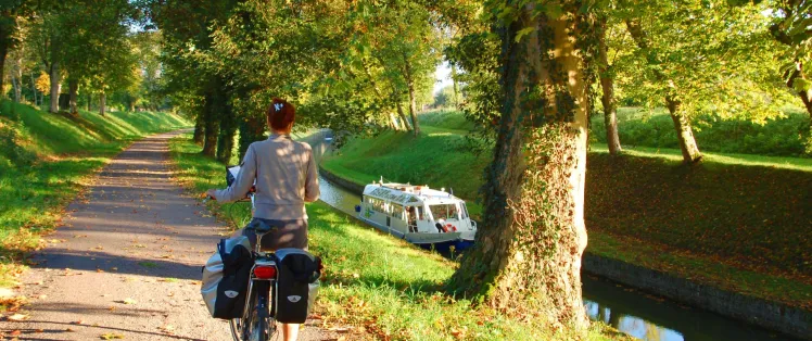
Pont Royal / Pouilly-en-Auxois
After a hemmed-in part at Pont-Royal, this stage of the Burgundy Canal by Bike leads you up onto the so-called ‘roof of Burgundy’. At 378m above sea-level you come to the highest point of the highest canal in France! Located at the foot of the Monts de Bourgogne (Burgundian Hills) Pouilly-en-Auxois is a green little town, a welcoming stop-over by the canal.
Route details
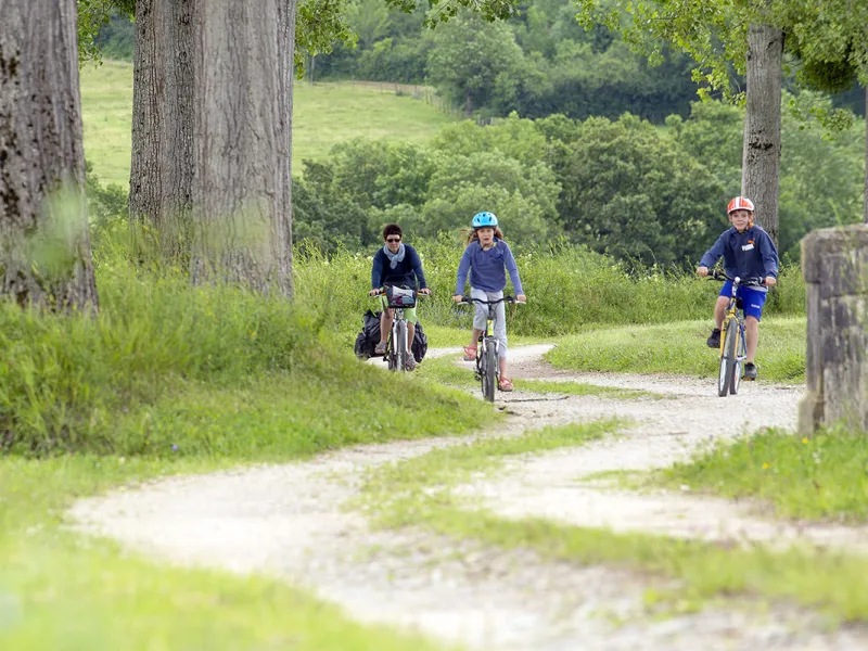
Unbroken greenway. Note that there aren’t any shops between St-Thibault and Pouilly.
Alternative routes
There are signposted cycle trails offering links to the canal’s reservoirs, Commarin and Châteauneuf.
Gradients and elevation
Road types
Surface
Don’t miss
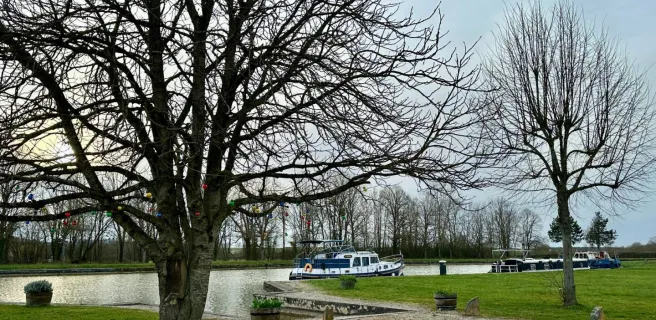
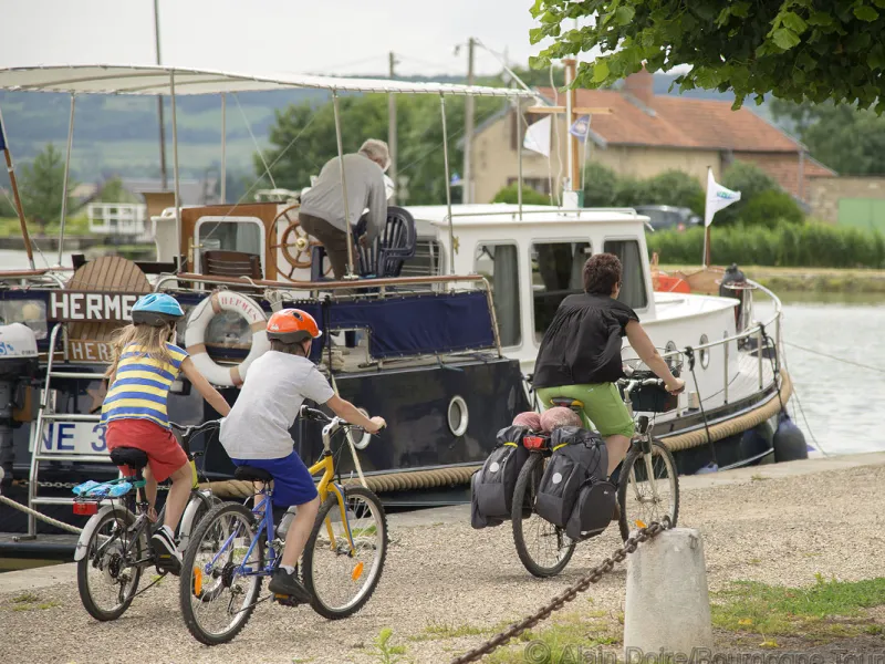
Saint-Thibault: its small village church with a choir-end fit for a cathedral - Pouilly-en-Auxois: a lovely little town, with a lively river port – a practical stop-over – the famed Voûte de Pouilly, an impressive, long canal tunnel – the Cap Canal visitor centre about the canal – the boat La Billebaude, on which you can take a cruise.
Markets
Pouilly-en-Auxois: Friday afternoons