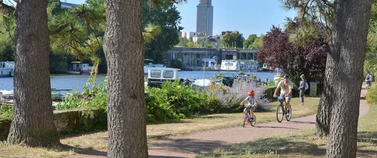
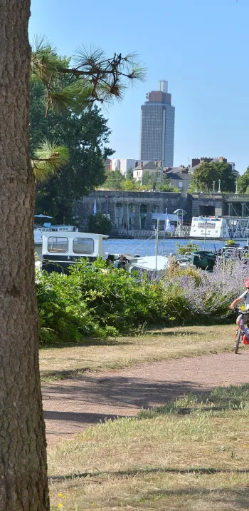
Nantes / Le Pellerin

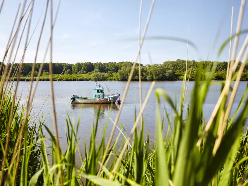
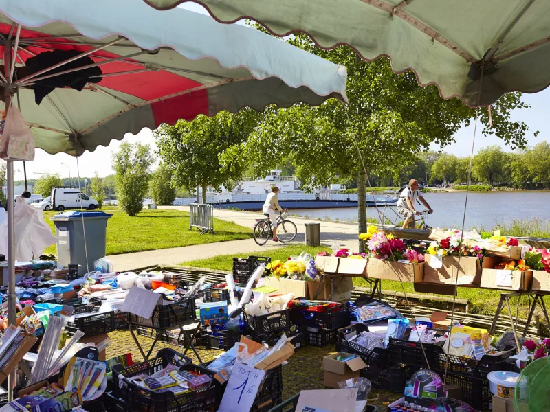
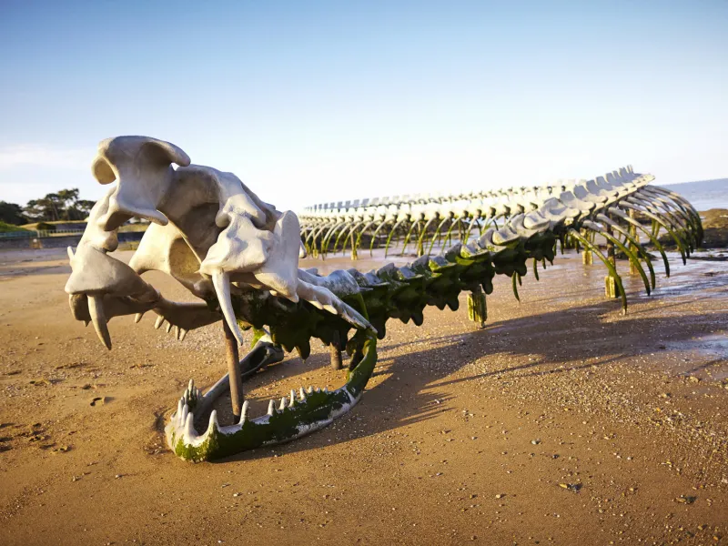
An exhibition of contemporary art is displayed all the way down the estuary on this shared stage of La Vélodyssée and La Loire à Vélo. Some surprising changes of scenery are guaranteed to brighten up your departure from the bustling city of Nantes.
Gradients and elevation
Road types
Surface
Itinerary
Nantes is transforming itself, building 3 new mass transit lines and a new bridge, to be delivered by the end of 2027.
During the works, La Vélodyssée will continue to run along Quai de la Fosse, but the cycle path will be adapted to the site environment.
On the right-hand bank of the Loire, the cycle routes are currently uneven: cycle strips and lanes. Traffic is particularly heavy here, so caution.
Alternative and connections
A route south of the Loire is currently under development - from Île de Nantes > Trentemoult > Bouguenais > La Montagne > St-Jean-de-Boiseau > Le Pellerin. This will, in particular, allow the discovery of another part of the perennial works displayed on the Estuary as well as a more natural Loire.
Connections on the route towards stations.
Trains and transport on the route
Reviews for Nantes / Le Pellerin
Find your accommodation on this stage


Découvrez également