Tergnier / Ham
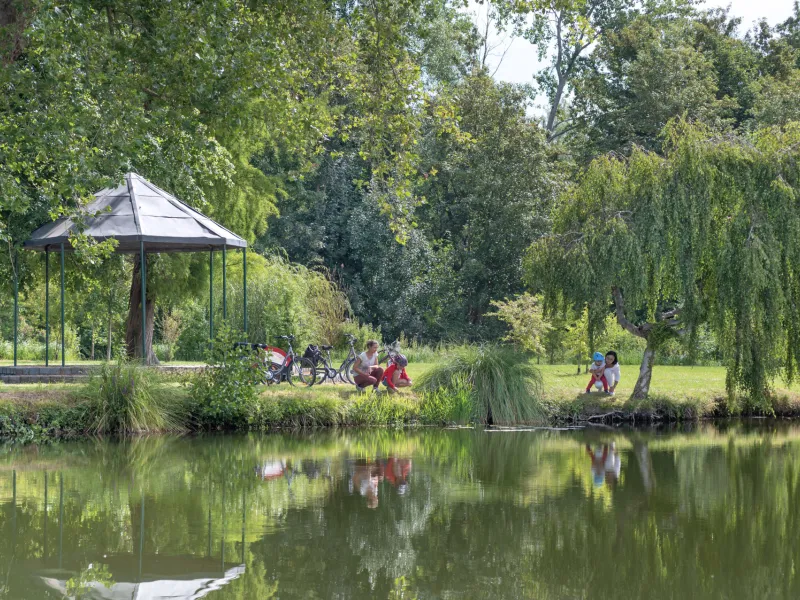
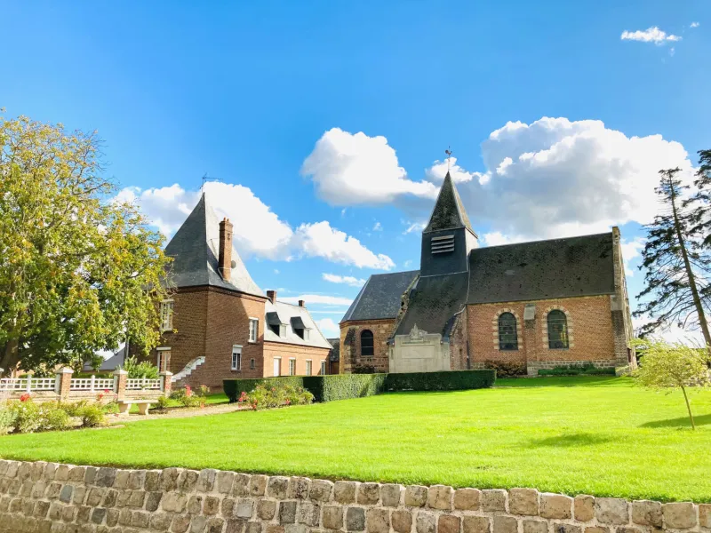
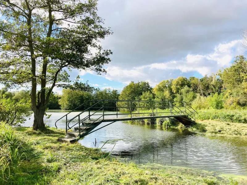
At Tergnier, at the junction with the Scandibérique cycle route, the Véloroute Vallée de Somme, or Somme Valley cycle route, gets off to a gentle start, following the bucolic banks of the Canal de Saint-Quentin. Next, it traces its own way through cereal fields, passing pleasant villages with Art Deco features to spot, at Mennessis, Frières and Flavy. Continuing via the Etangs de Saint-Simon (a series of lakes that attract migrating birds), it repeatedly crosses the meandering path of the young, upper Somme River on the way to Ham, your first stopover town, set beside a meander. Pause to explore this place largely rebuilt after World War I, taking in its green spaces, the Jardin des Hardines and Parc Délicourt, and its historical remnants, notably the former castle and 12th-century church of Our Lady.
Cycle Route
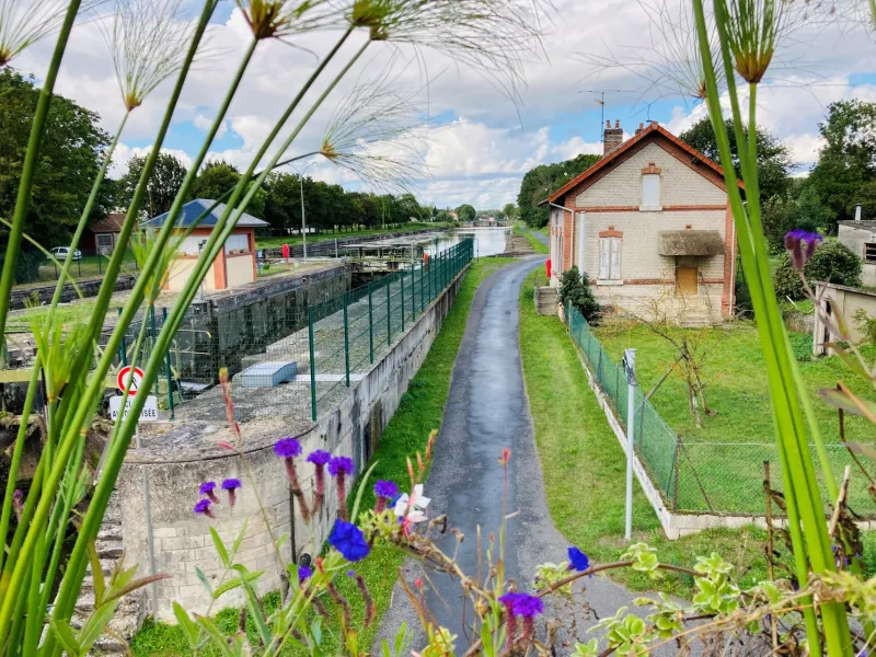
From Tergnier to Mennessis, the cycle route follows the towpath beside the Canal de Saint-Quentin. At Mennessis Bridge, cyclists need to leave the canal-side way, as the towpath isn’t usable here and is forbidden to cyclists. Our cycle route’s unbroken signposting (green signs, the number 30 set against a white background) then leads you via pleasant, quiet secondary roads. While these have been chosen as traffic along them is light, do be aware that you may encounter motorized vehicles, particularly in autumn, when farmers work on the sugar beet crop.
Links
- Link at Tergnier with La Scandibérique - EuroVelo 3
- To follow the Somme à la Marne cycle route into the neighbouring département (French county) of Aisne: from Tergnier, follow the Scandibérique signposting along the Canal Latéral à l'Oise up to Abbécourt (on the D922 road), then change bank, leaving the Scandibérique cycle route, following the Ailette Valley via Manicamp.
Gradients and elevation
Road types
Surface
Don't miss
- Tergnier: railway town (listed station), Art Deco Carnegie Square, Museum of the Resistance and Deportation and La Frette water sports centre
- Flavy-le-Martel: Art Deco style private mansions
- Saint-Simon: point Y (confluence of the Saint-Quentin canal and the Somme canalised), old peat bogs and Somme marshes (ornithological reserve)
- Ham: nautical base, castle, Notre-Dame church, Délicourt Park and Art-Deco heritage
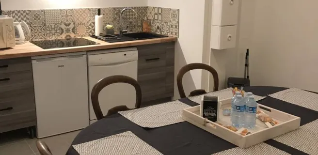
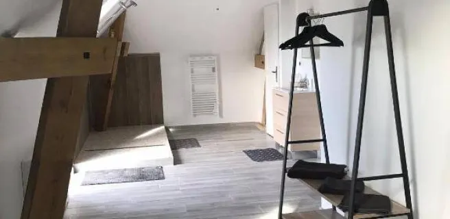
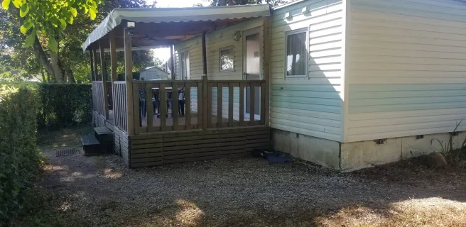
Find your accommodation on this stage
Trains and transport on the route
Trains
- Station at Tergnier
- Station at Flavy-le-Martel
- Station at Ham