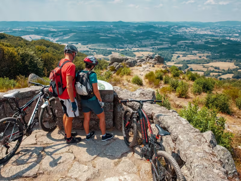
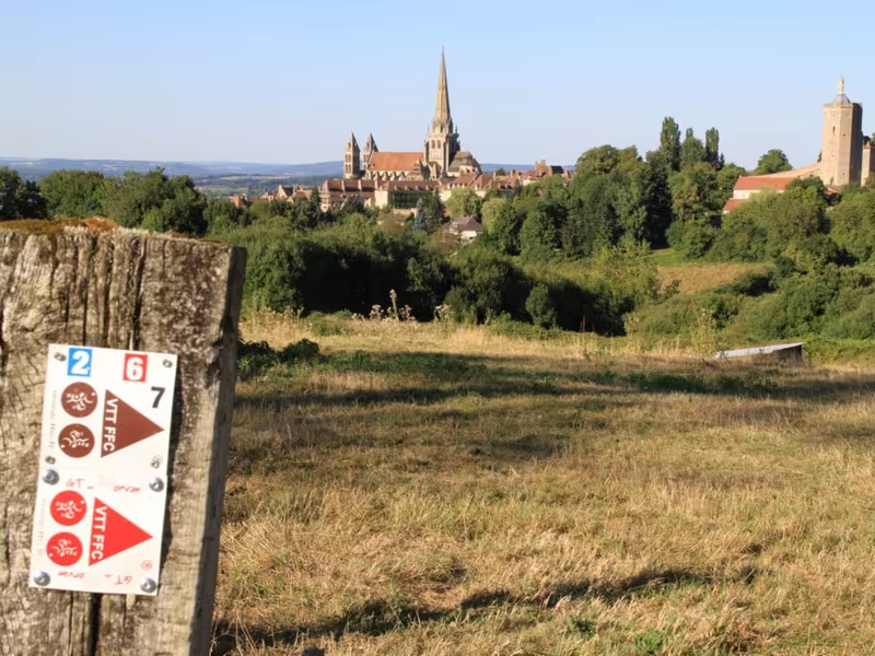
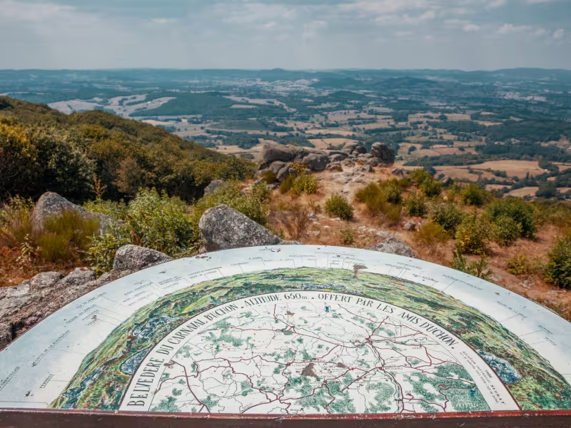
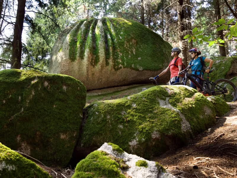


In the south of the Morvan Park, the Gallo-Roman city of Autun, classified as a "Ville d'Art et d'Histoire" with its Roman theater, Janus temple and cathedral, is well worth a detour from the main GTMC route. This fun connection is enhanced by pleasant trail sections that are not overly technical. It offers some very fine viewpoints, such as the Signal d'Uchon, also nicknamed "the Pearl of Morvan", which is remarkable for its granite chaos through its beautiful forests. Autun can also be a gateway to the GTMC route.
Gradients and elevation
Slope breakdown
The cycle route
The GTMC starts at the edge of the Autun lake. It quickly climbs through the Renaudiots woods. After a fine descent, the route rises again in the Bois des Igaux before a long descent to Mesvres. A final hump leads to Corix Messire Jean, the highest point of the stage, before a final descent to La Tagnière.