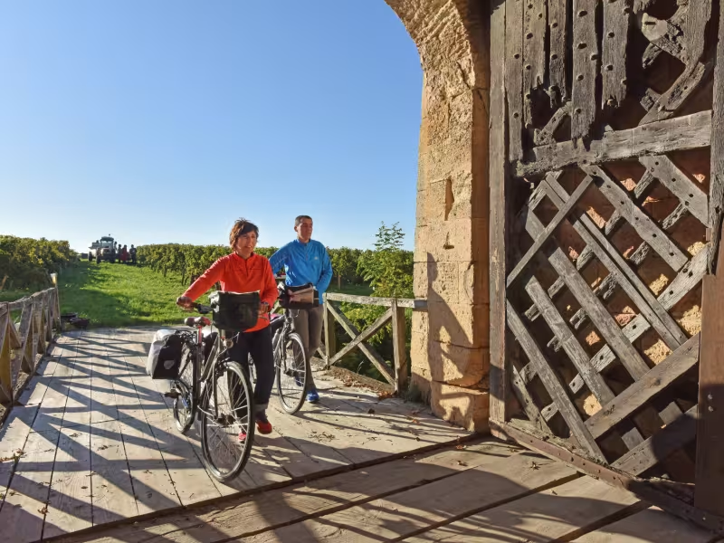
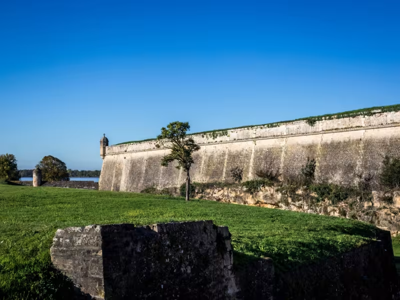
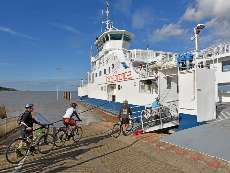
We leave Charente-Maritime to continue along the Canal des 2 Mers à Vélo route in Gironde. After an exciting visit to the Terres d'oiseaux bird park and a pleasant journey across the marshes, we arrive at Blaye's fortress via a well laid-out green route. The vineyards of the Bordeaux Wine Route in Blaye and Bourg stand in contrast to Vauban's fortifications, listed as UNESCO world heritage. Don't miss the visit to its underground sections! In Blaye, a ferry crosses the estuary to Lamarque, with no extra charge for bikes.
Gradients and elevation
Ascents: 69m
Descents: 64m
Lowest point: 0m
Highest point: 33m
Slope breakdown
4km gentle descent (-5% to -1%)
36km flat (-1% to 2%)
Road types
12km (30%) of cycle paths
28km (70%) of shared roads
- Cycle path
- Routes reserved for cyclists and pedestrians (greenways, cycle tracks, towpaths), separated from cars for maximum safety.
- Shared road
- Quiet minor roads with little traffic (unless otherwise stated in the stage details). Shared with cars (stay alert).
- Not specified
- Data unavailable or being assessed. Please refer to the detailed stage description.
- Provisional
- Section on a road or cycle path awaiting better-quality facilities (see stage details).
Surface
39km (100%) of smooth surface
- Smooth
- Asphalt, tarmac or smooth concrete. Optimal comfort.
- Rough
- Fine gravel, compacted stabilised surface or worn tarmac. Less comfortable, vibrations possible.
- Natural
- Dirt, grass, roots or stones. Under 5%: short sections with little impact. Higher percentage: route suited to mountain or gravel bikes only.
- Not specified
- Data unavailable or being assessed. Please refer to the detailed stage description.