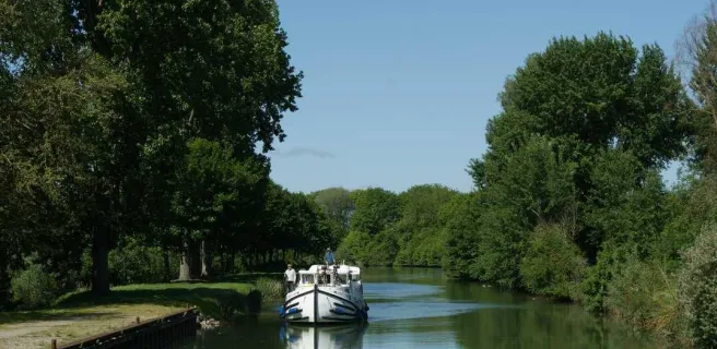
Ham / Péronne
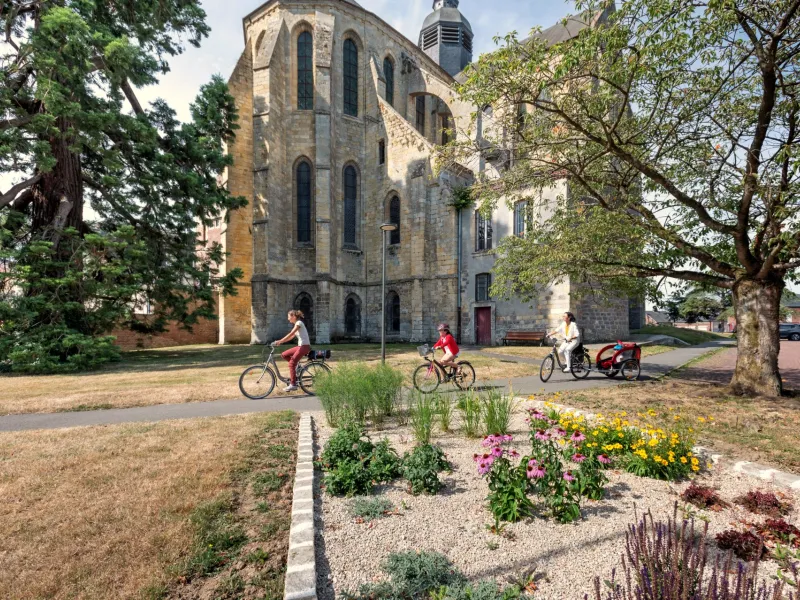
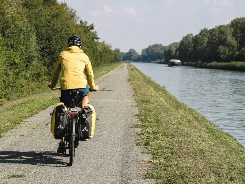
With a few Art Deco façades standing out, the town of Ham makes a distinctive place to start out along the Véloroute Vallée de Somme, or Somme Valley cycle route. Do look around the abbey area and the very lovely park set around the Etangs du Cam (lakes). After riding for a few kilometres along quiet roads through the area of Haute-Somme, you join the Canal du Nord. At this spot, the Somme River’s waters combine with those of this major canal, along which you may well spot some impressive barges, announcing the ambitious wider plan to expand the Canal Seine-Nord Europe network.
Cycle Route
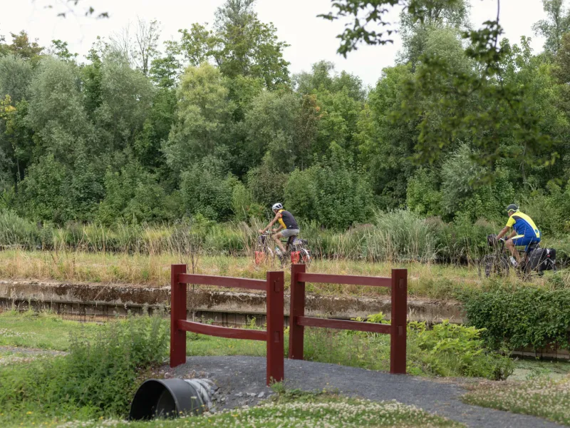
From Ham town centre, head for the Somme River. At time of writing, the towpath here has not yet been laid out for cyclists. So, for the time being, the start of this stage leads you along quiet roads to Esmery-Halon, Hombleux and Buverchy. Leaving Buverchy, you need to cross the waterway, then go down to the Canal du Nord towpath, heading north for a time, passing under the bridge again. A bit after Rouy-le-Grand and up to Péronne, you follow this major canal route (Canal du Nord and Canal de la Somme), the barges transporting all manner of materials.
Connection
At Buverchy, it’s possible to link with La Scandibérique - EuroVelo 3 cycle route through the département (French county) of Oise, following signposting for Frétoy-le-Château.
Gradients and elevation
Road types
Surface
Don'miss
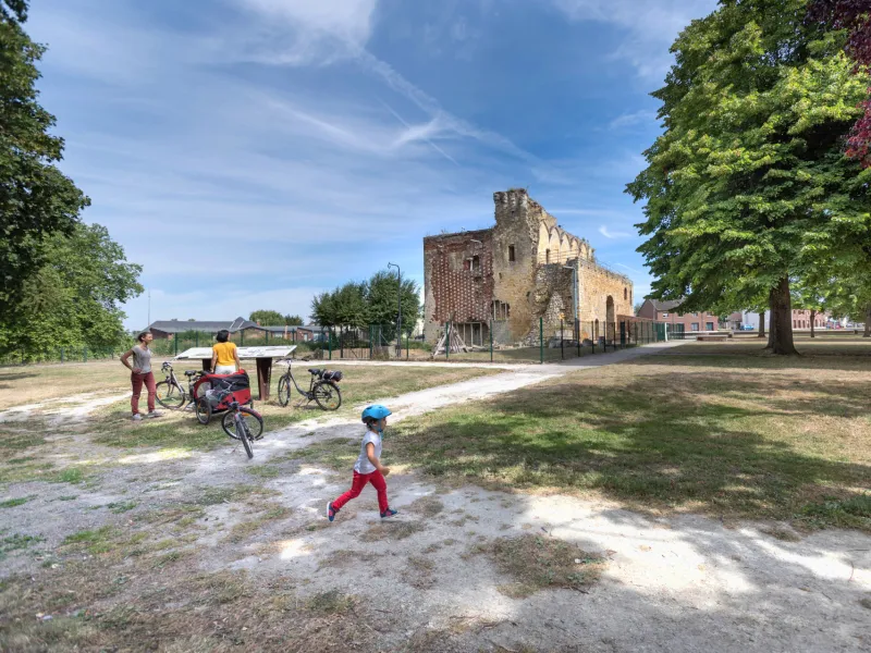
- Château de Ham: remains of the square tower and the wall..
- Rouy-le-Petit: arboretum with over a hundred species
- Saint-Christ-Briost: fishing ponds
- Péronne: Historial de la Grande Guerre, Alfred Danicourt museum
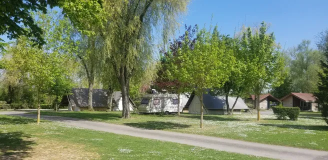
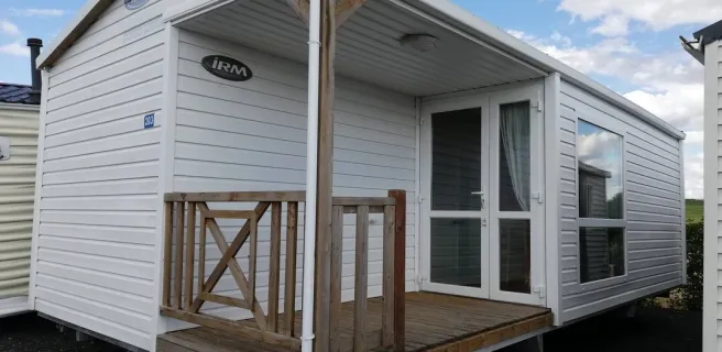
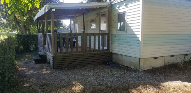
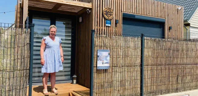
Find your accommodation on this stage
Trains and transport on the route
Trains
- Station at Ham
- Station at Nesle