All types of routes

The FrancoVéloSuisse

Shortcut
francovélosuisse Elodie Cayot
Pause vélo au bord du lac de Malsaucy sur la francovélosuisse
France Vélo Tourisme - Nicolas Pinson
Porrentruy, vue sur le château depuis la rivière
JFL - Territoire de Belfort - juin 2019
Liaison de Malsaucy à Giromagny
France Vélo Tourisme - Nicolas Pinson
Voie verte le long de la Savoureuse
JFL - Territoire de Belfort - juin 2019
Panneaux sur la liaison cyclable entre Malsaucy et Giromagny
France Vélo Tourisme - Nicolas Pinson
Porrentruy en Suisse
JFL - Territoire de Belfort - juin 2019
Cyclistes sur la piste de Malsaucy à Giromagny
France Vélo Tourisme - Nicolas Pinson
Panneaux sur la francovélosuisse
One way
55 km
One day trip
I cycle often
Giromagny
Porrentruy
Nature & small heritage

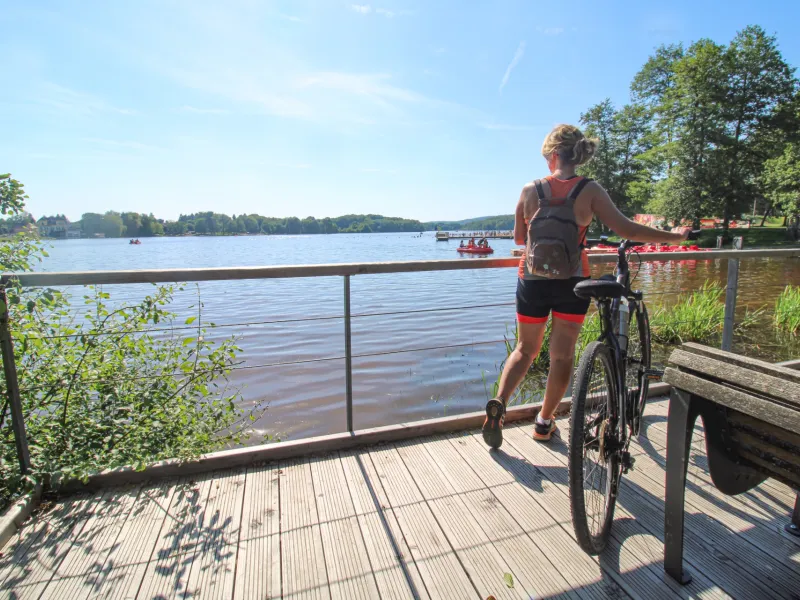
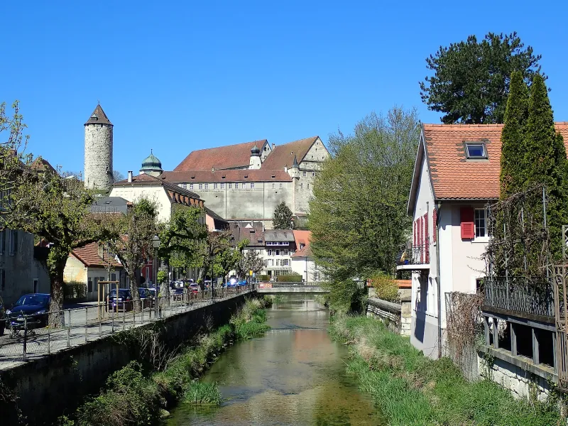
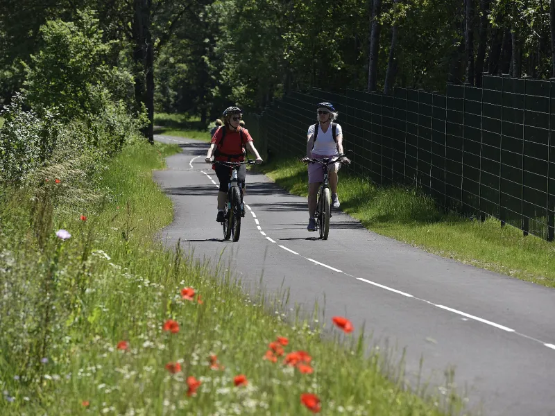
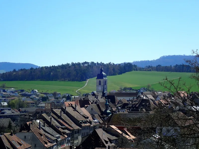
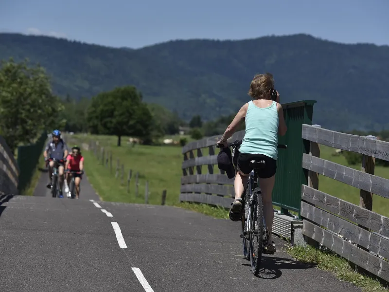
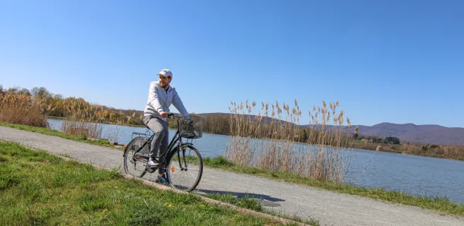
From Belfort’s pentagonal citadel, with its sculpture of a giant lion designed by Bartholdi (creator of the Statue of Liberty), to the perched castle of Porrentruy in Switzerland, standing out against the Fahy Hills (foothills of the Jura Mountains), this beautiful cross-border route follows the Savoureuse, Bourbeuse and Allaine Rivers. Linking the Territoire de Belfort in France to the Swiss canton of Jura, there are no significant difficulties along this 40km very smooth path. The sporty may like to tackle the return trip; or just ride one way and take the train back from Switzerland. Between the colourful villages, enjoy the clear air and sumptuous landscapes, featuring steep valleys, farmland and shaded woods. Prolong the ride: to the north, follow the link to Malsaucy Nature Reserve, venue for Belfort’s major Eurockéennes rock festival; to the south, follow the Jura route to Courgenay in Switzerland.
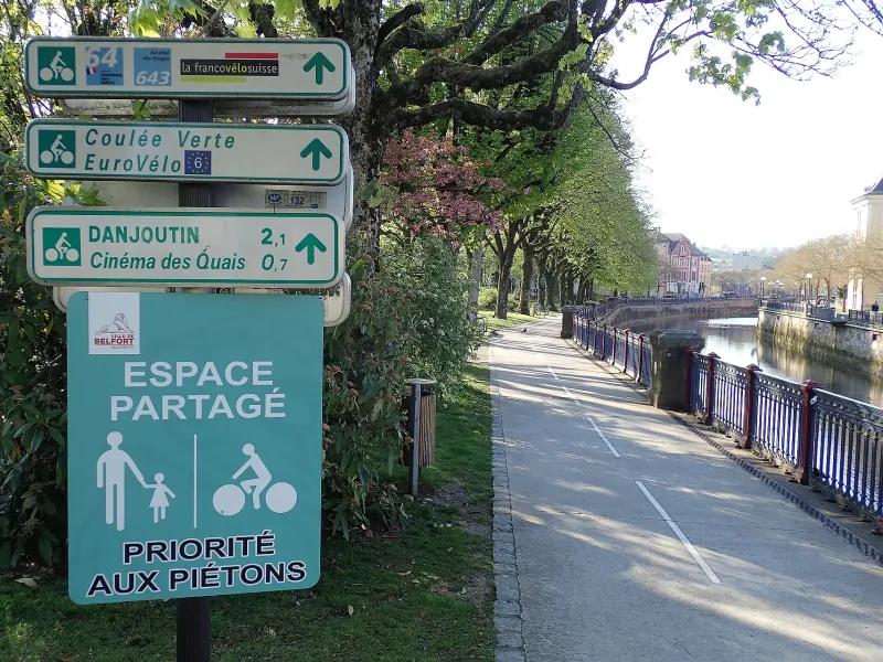
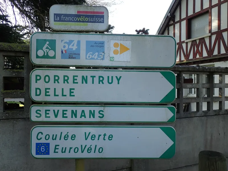
Route signposting

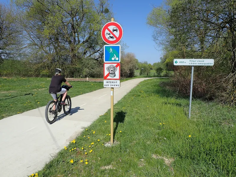
The route is signposted as ‘La francovélosuisse’ (V64) along its entire length in both directions.
Connections

With the “Entre Rhin et Loire à Vélo” EuroVelo 6 route, at Bourogne on the section of the Rhône-Rhine Canal.

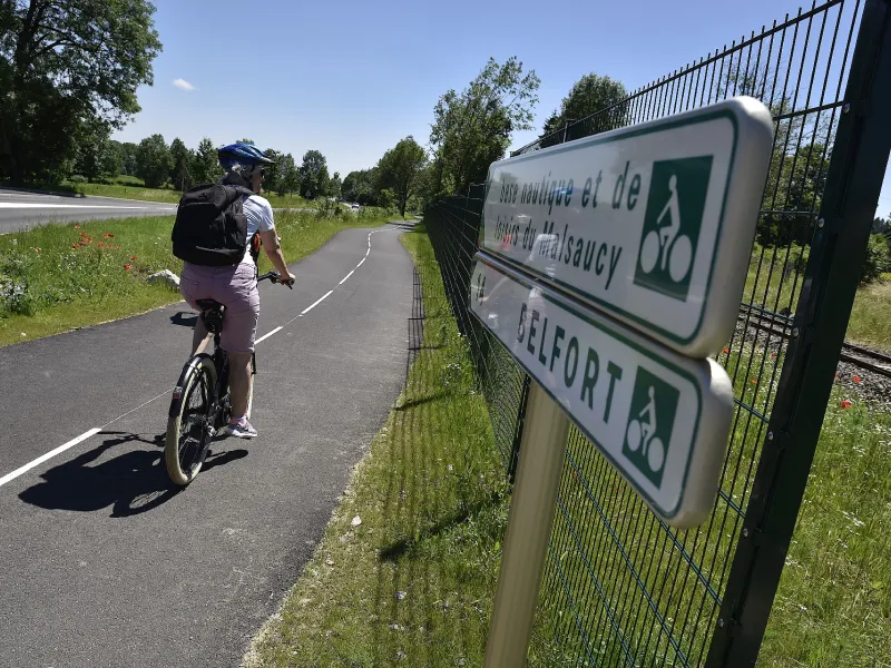
Connection to the Ballon d’Alsace: from Belfort, taking the northern link towards the Malsaucy nature reserve.

Gradients and elevation

Ascents: 192m
Descents: 229m
Lowest point: 332m
Highest point: 464m

Road types

20km (37%) By road
33km (63%) Cycle path

Surface

32km (61%) Smooth
20km (39%) Unknown

Trains et transport sur The FrancoVéloSuisse

Access by train:

  • Nearest station to the start (Giromagny): Belfort station (15 km by bike).
  • From the finish (Porrentruy): Porrentruy station in Switzerland

"Accueil Vélo" accommodation on The FrancoVéloSuisse

2 Accueil Vélo accommodations await you on The FrancoVéloSuisse!

View accommodations on the map

View all accommodations

The 2 stages of The FrancoVéloSuisse

Giromagny / Belfort

1 Giromagny / Belfort

15 km
2 h 31 min
I begin
After visiting Belfort’s historic centre and citadel, still in the heart of town, start cycling beside the Savoureuse, main river of the Vosges Belfortaines mountains. Past Belfort-Montbéliard TGV station (for high-speed trains), a pretty but technically demanding stretch through forest leads to Bourogne and the Canal du Rhône au Rhin, where paths cross with the EuroVelo 6 cycle route. Follow the Allaine River towards the foothills of the Swiss portion of the Jura Mountains. At Delle, after a substantial slope, a simple post marks the Franco-Swiss frontier. Up to Buix, the route is bucolic, along the bottom of Jura foothills. The Allaine Valley broadens out, a wide road leading you gently down to your destination. Enjoy a hot chocolate admiring Porrentruy Castle and stroll around the delightful lanes.
Details