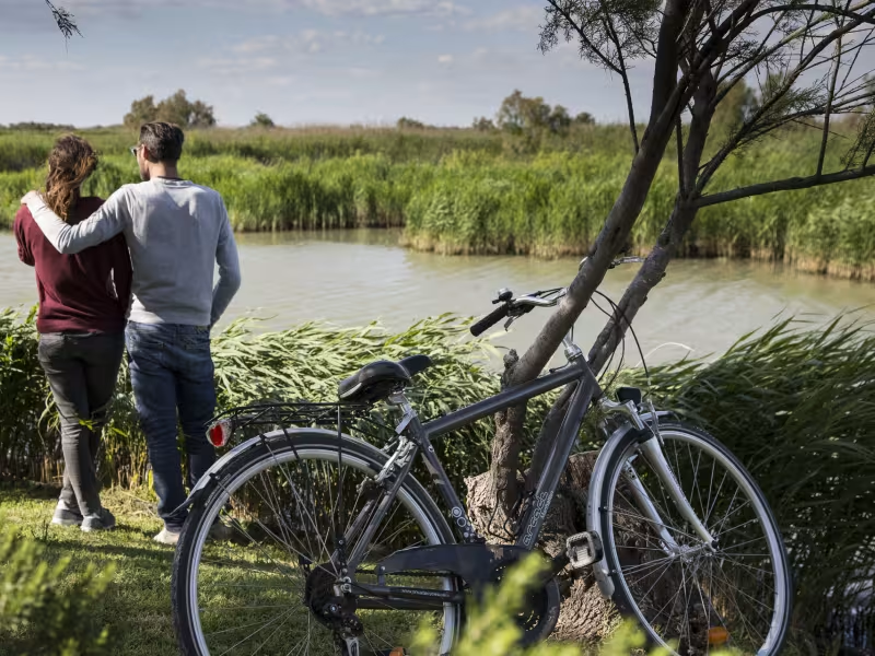
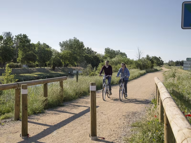
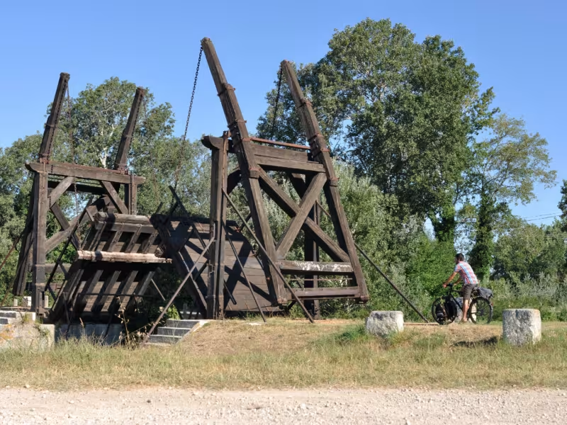
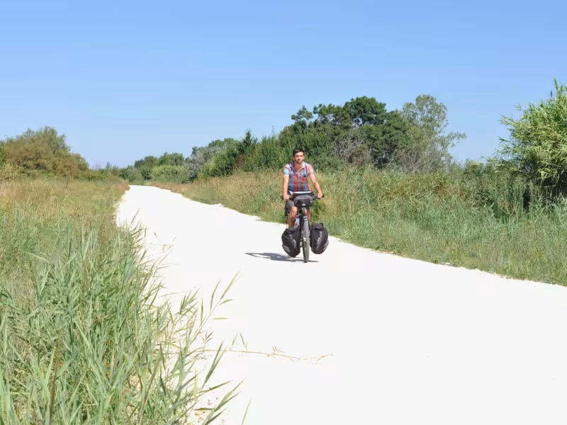
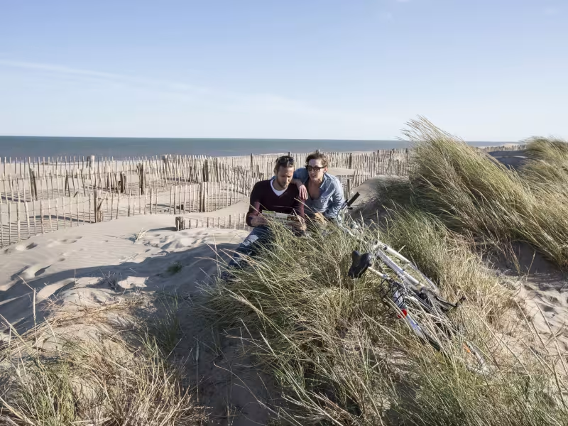
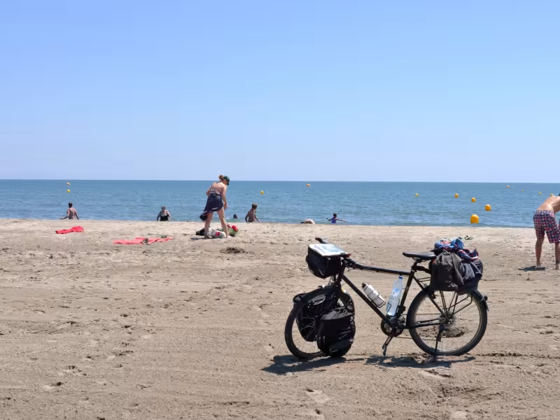
The historic town of Arles stands just north of the Camargue. Famed for its Roman monuments, the whole place is steeped in history and packed with art treasures. Leaving town via the Pont Van Gogh (this bridge’s name recalling the time the great Dutch Impressionist spent in Arles), ViaRhôna leads you towards the Rhône Delta along a pretty greenway running beside the Canal d’Arles à Fos. Be aware that the way has not been thoroughly maintained in recent times and can be dangerous between the Fos lock and Port-Saint-Louis-du-Rhône. From the latter, a cycle path leads you to the sea and the possibility of a well-deserved swim at beautiful Plage Napoléon. En route, visit the Marais Vigueirat marshes by Mas-Thibert.
Gradients and elevation
Slope breakdown
Road types
- Cycle path
- Routes reserved for cyclists and pedestrians (greenways, cycle tracks, towpaths), separated from cars for maximum safety.
- Shared road
- Quiet minor roads with little traffic (unless otherwise stated in the stage details). Shared with cars (stay alert).
- Not specified
- Data unavailable or being assessed. Please refer to the detailed stage description.
- Provisional
- Section on a road or cycle path awaiting better-quality facilities (see stage details).
Surface
- Smooth
- Asphalt, tarmac or smooth concrete. Optimal comfort.
- Rough
- Fine gravel, compacted stabilised surface or worn tarmac. Less comfortable, vibrations possible.
- Natural
- Dirt, grass, roots or stones. Under 5%: short sections with little impact. Higher percentage: route suited to mountain or gravel bikes only.
- Not specified
- Data unavailable or being assessed. Please refer to the detailed stage description.
The route
A part of the ViaRhôna stage has been set up from south of Arles, from the Pont Van Gogh. Beyond the bridge, there’s a fine tarmacked cycle track lasting 6km, as far as the Pont du Mas de la Ville. Then the track is made of compact sand that is not always that well maintained for the time being, going up to the Fos lock. At the end of this track (marked by wind turbines), follow the canal up to the D 35 road where the route comes to an end. Be aware, the D 35 is a very busy road in to Port-Saint-Louis, so take very great care along it.
At the entrance to Port-Saint-Louis, take the cycle track 250m after the intersection with the D 268 road. Follow a stretch of sandy track, then a tarmacked piece leading you up to a drawbridge. Note that it is complicated to take your bike through the restrictive access control measures in place here. After the bridge, take the first right and join the cycle track along Route de Napoléon, the road leading to the beach.
Liaison
From the bridge at Mas-Thibert, there’s a lovely tarmacked link taking you along to reach the Marais du Vigueirat marshes (2.5km). It’s worth the detour.
SNCF train services
Arles train station :
- Line 8 : Marseille > Arles > Tarascon > Avignon
- Line TER Avignon > Tarascon > Nîmes > Montpellier
- Line TER 10 : Marseille > Avignon > Orange > Valence > Lyon
- Line TGV : Paris Gare de Lyon (4 hours)
- Buses to Marseille, Les Saintes-Maries de la Mer, Les Salins de Giraud
Fos-sur-Mer train station
- Line TER Miramas > Marseille St Charles
Buses
Car Treize
- Line 21: Port Saint Louis > Arles par Mas Thibert
- Line 34: Martigues > Marseille par Fos sur Mer, Port de Bouc, Martigues, Chateauneuf les Martigues, Gignac
Tourist Offices :
- Arles Tel : 04 90 18 41 20
- Port Saint Louis du Rhône Tel : 04 42 86 01 21
- Salin-de-Giraud Tél : 04 42 86 89 77