VéloWestNormandy

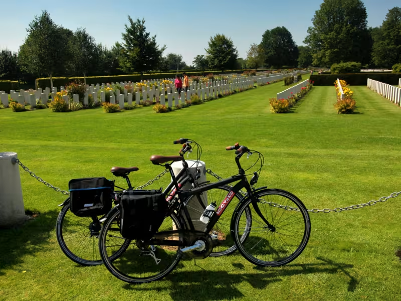
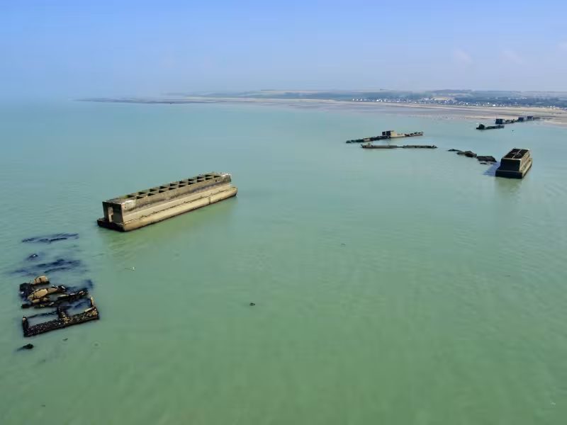
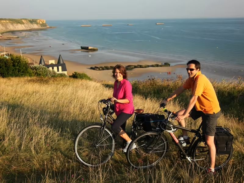
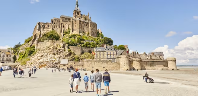
This unique véloroute, or special cycle path, links two of Normandy's most iconic sights. It starts at the D-Day beaches, where the Allied troops famously landed in June 1944 in order to overthrow the German forces occupying France. It then takes you west to the glorious vision of the Mont St-Michel, the famed island crowned by a stunning medieval monastery. The route allows you to explore the two Normandy départements (or counties) of Calvados and Manche. Immerse yourself in the typical Norman atmosphere of this exceptional cycle path, which takes you along via beautiful, now-tranquil hedgerows, hills and valleys.
 Low-Carbon Discount in Normandy
Along this route, selected attractions, museums, tourist offices, and activity providers offer the Normandy Low-Carbon Discount to visitors arriving by train, coach, or bicycle.
Check out all the partners participating in the Normandy Low-Carbon Discount program.
Signposting of the itinerary
La VéloWestNormandy is fully signposted in both directions. It overlaps with La Vélomaritime from La Ferrière-Harang and connects with La Véloscénie from Mortain.
Gradients and elevation
Slope breakdown
Road types
- Cycle path
- Routes reserved for cyclists and pedestrians (greenways, cycle tracks, towpaths), separated from cars for maximum safety.
- Shared road
- Quiet minor roads with little traffic (unless otherwise stated in the stage details). Shared with cars (stay alert).
- Not specified
- Data unavailable or being assessed. Please refer to the detailed stage description.
- Provisional
- Section on a road or cycle path awaiting better-quality facilities (see stage details).
Surface
- Smooth
- Asphalt, tarmac or smooth concrete. Optimal comfort.
- Rough
- Fine gravel, compacted stabilised surface or worn tarmac. Less comfortable, vibrations possible.
- Natural
- Dirt, grass, roots or stones. Under 5%: short sections with little impact. Higher percentage: route suited to mountain or gravel bikes only.
- Not specified
- Data unavailable or being assessed. Please refer to the detailed stage description.
Trains and transport on the route
Getting there by train
- To reach the start (Bayeux): Bayeux train station
- From the finish (Mont Saint-Michel): Pontorson station (about 10 km from Mont Saint-Michel by bike)
View infrastructure on the map
Reviews for VéloWestNormandy
"Accueil Vélo" accommodation on VéloWestNormandy
68 Accueil Vélo accommodations await you on VéloWestNormandy!
The 9 stages of VéloWestNormandy
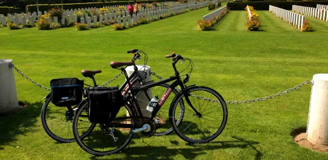
6 Bayeux / Tilly-sur-Seulles
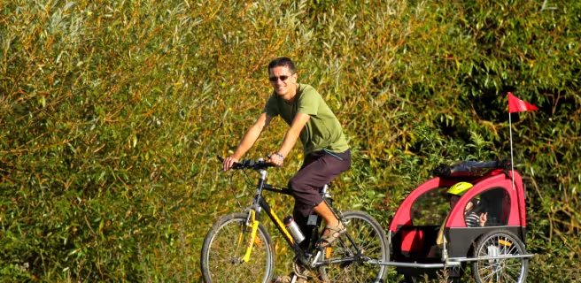
7 Tilly-sur-Seulles / Villers-Bocage
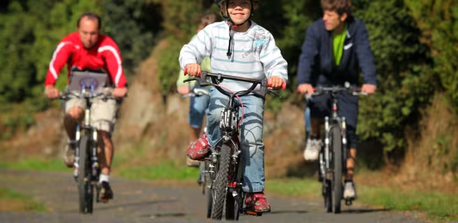
8 Villers-Bocage / La Ferrière-Harang (viaduc de la Souleuvre)
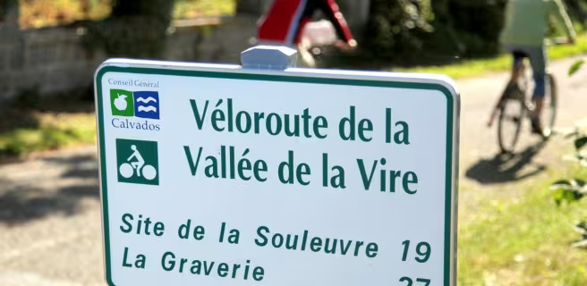
9 La Ferrière-Harang (viaduc de la Souleuvre) / Vire
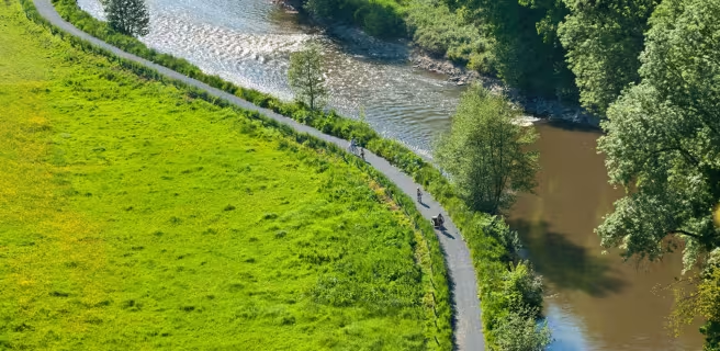
10 Vire / Sourdeval
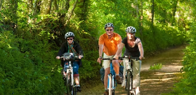
11 Sourdeval / Mortain
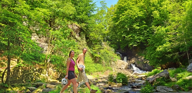
12 Mortain / St-Hilaire-du-Harcouët
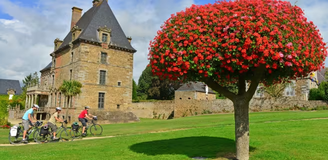
13 St-Hilaire-du-Harcouët / Ducey