Albertville / Montmélian
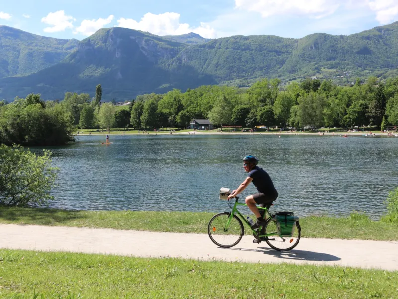
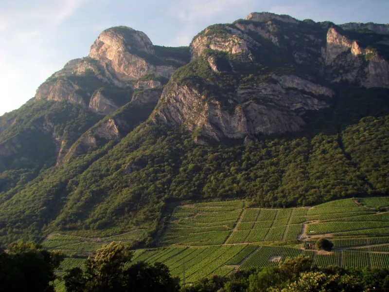


Your cycling adventure continues as you ride along the foot of the southern slopes of the Parc Naturel Régional du Massif des Bauges – also designated a UNESCO World Geopark. This stage of La Belle Via leads you into the midst of the vineyards of Cœur de Savoie, recognized as a Vignobles et Découvertes area in recognition of its many wine addresses welcoming visitors. Going from one village to the next, you ride from Saint-Jean-de-Porte to Montmélian. Along the way, the lakes of Grésy-sur-Isère and Carouge are excellent for bathing, providing refreshing, relaxing stops with views of the surrounding mountain ranges, the Pointe de l’Arcalod culminating at 2,217m in altitude, Le Grand Mont d'Arêches at 2,686m.
The Route
This stage provides a mix of segregated greenways and stretches along both county roads and small secondary roads with light traffic. There are spots at which to take particular care, leaving Albertville at the level of Grignon, and crossing the RD911 road close to St-Jean-de-la-Porte.
Link
From Montmélian towards the ViaRhôna cycle route at Chanaz via Chambéry or Aix-les-Bains, or then via Chambéry/Le Bourget-du-Lac/G7 taking the safe Tunnel du Chat.
Gradients and elevation
Road types
Surface
Don't miss
- Grésy-sur-Isère: base de loisirs du lac de Grésy (an outdoor leisure centre)
- Montailleur: Wam Park (an outdoor leisure centre offering activities such as water-skiing and wakeboarding)
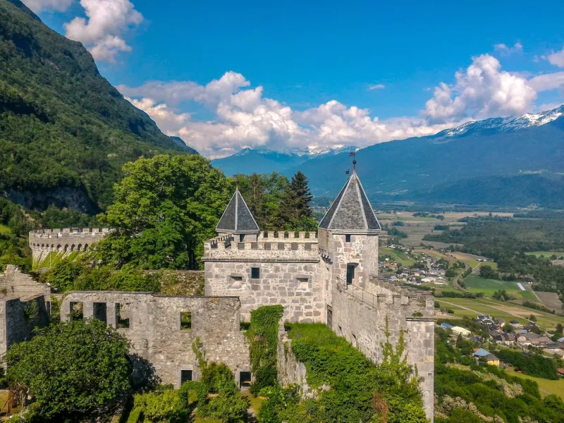
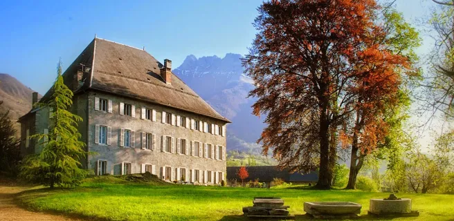
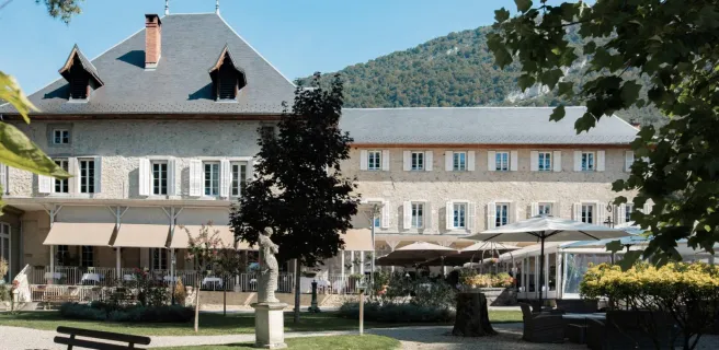
- Saint-Pierre-d'Albigny: Miolans Fortress; Carouge Lake
- Montmélian: Musée de la Vigne et du Vin de Savoie (a regional wine museum)
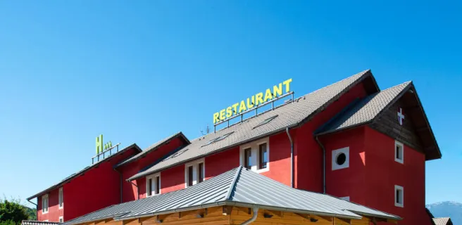
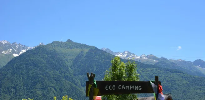
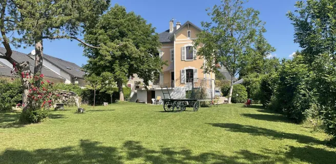
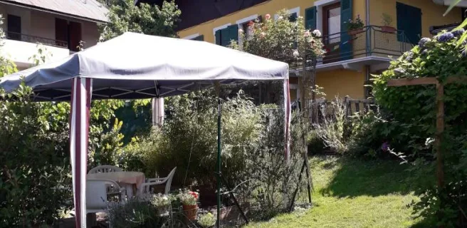
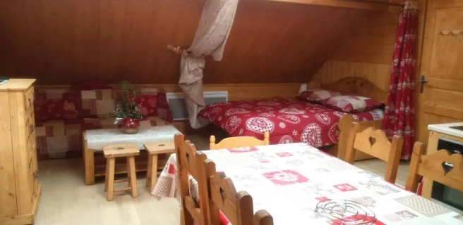
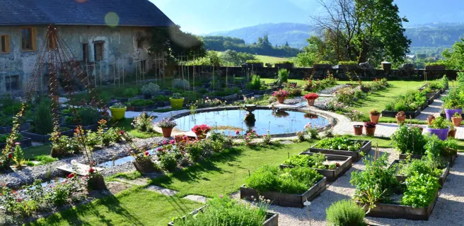
Find your accommodation on this stage
Trains and transport on the route
SNCF train services
- Stations : Albertville, Saint-Pierre-d'Abigny, Montmélian