Le Mont-Saint-Michel / Maen Roch
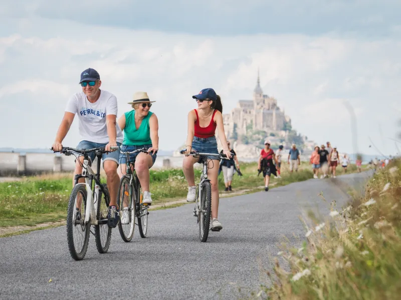
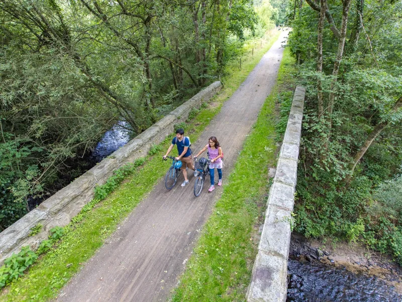
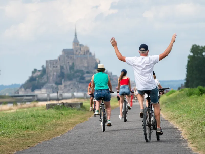
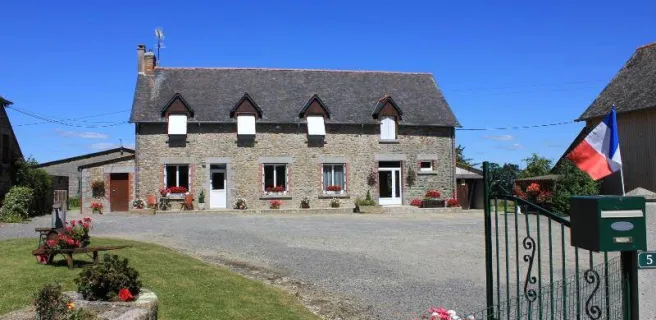
You set out on your adventure south along the Régalante cycle route, starting from the Mont Saint-Michel. Leave behind the unforgettable silhouette of the famed island monastery on its rock, isolated in its vast bay. As this bay is subject to the biggest tides off continental Europe, the seascapes change dramatically across the day, with vast sandy and muddy tracts revealed by the outgoing tide. Riding off, admire the amazingly varied effects of the light, the skies mirrored in the bay’s waters. The cycle route leads you inland, through flat polder landscapes. A bit further on, you cross the little town of Antrain, riding beside rivers and traditional hedge-divided fields known as bocage. Enjoy the greenways and the bucolic surrounds that define this first stage. Maen Roch offers a relaxing place to pause, a stop where you can recharge your batteries… and those of your electric bike, if you’re using one!
The route
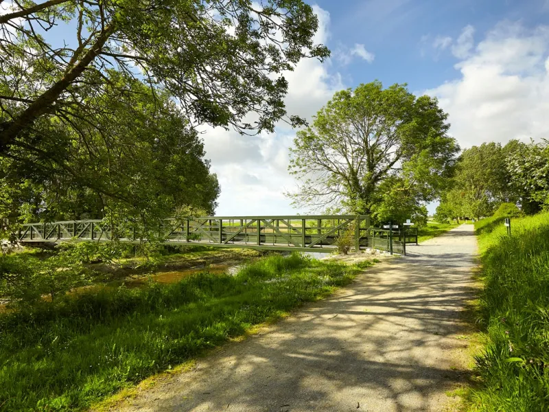
Take care crossing the town of Pontorson, then follow the Route des Marais, with very little traffic, as far as the town of Antrain. From Antrain, there’s a short climb up the Route de Saint-Ouen-la-Rouërie to reach the first stretch of greenway. Having crossed a trunk road, continue along the greenway to Maen Roch after leaving the hamlet of Le Medrouet.
Links
- Links with La Vélomaritime - The Veloscenic - La VéloWestNormandy
- Link with the VD4 Antrain-Saint-Pern. From Antrain’s church, follow the signposting from the lane named Ruelle des Fossés.
Practical information
- Office de tourisme Mont-Saint-Michel Normandie Grande Rue 50170 Le Mont-Saint-Michel - 02 33 60 14 30
- Office de Tourisme Couesnon Marches de Bretagne - Bureau d'information de Maen Roch 9 Rue du Souvenir 35460 Maen Roch - 02 99 97 85 44
Gradients and elevation
Road types
Surface
Don’t miss
- Mont Saint-Michel: both the island with its abbey church and monastery, and the vast bay around it are listed as a UNESCO World Heritage Site
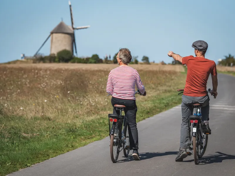
- Moulin de Moidrey: a functioning windmill that also forms part of the bay’s UNESCO World Heritage Site listing, offering guided tours, flour for sale, and exceptional views.
- Pontorson: a medieval town that is also accredited as a Station Verte, for green holidays.
- Marais de Sougéal: listed as a Réserve Naturelle Régionale for its diverse natural attractions, both in terms of birds and flora.
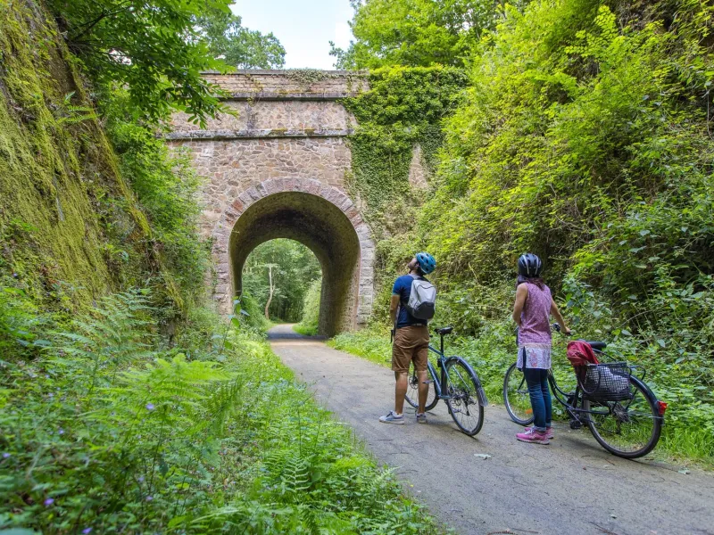
- Antrain: its parish designated Patrimoine Rural de Bretagne (Rural Breton Heritage), with: a discovery trail to follow through town; the Maison des Patrimoines, focusing on local heritage in all its forms; the Pont du Couesnon bridge; the local railway heritage, including old tunnels; and old restored mills transformed into flats.
- Saint-Brice-en-Coglès: the elegant water tower built to serve the railways; facilities and many shops, plus restaurants and boulangeries.
- Tremblay: Little Parc, an animal park.
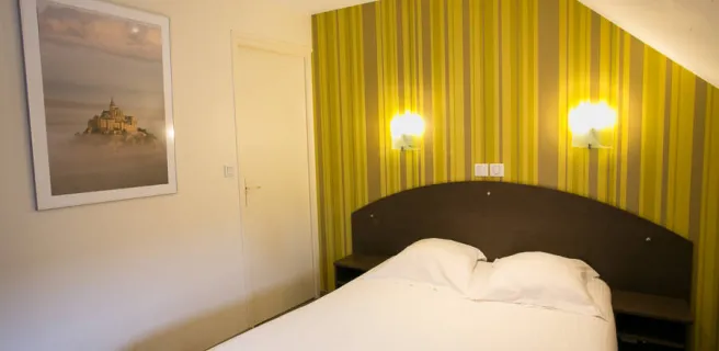
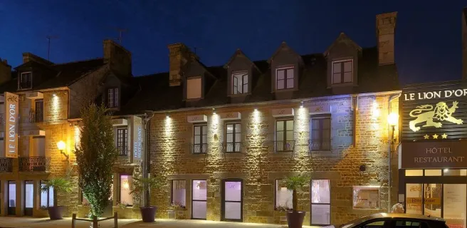
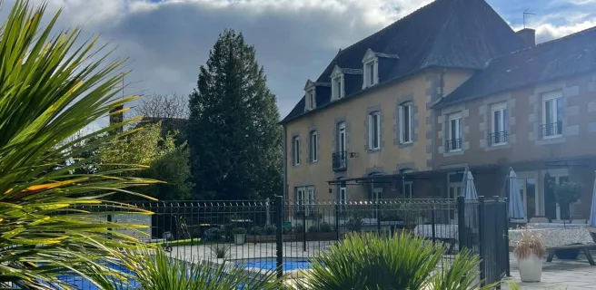
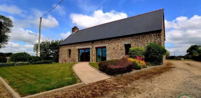
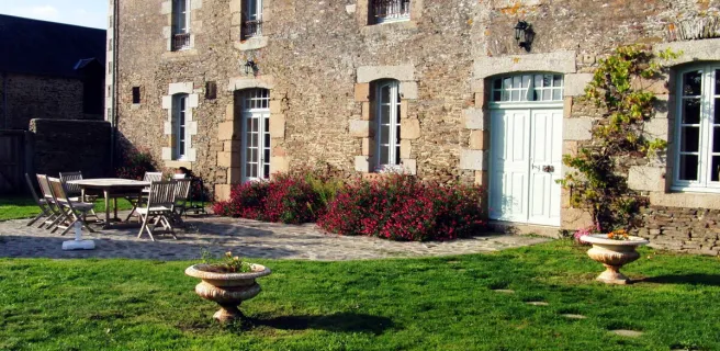
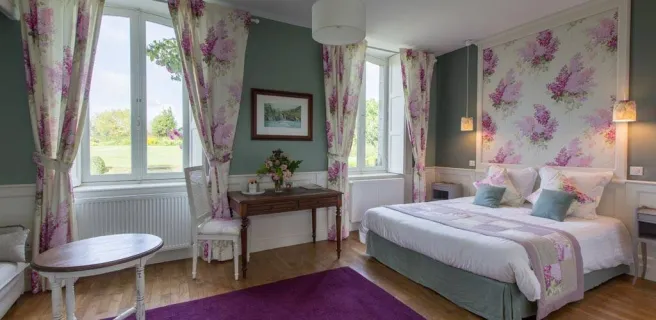
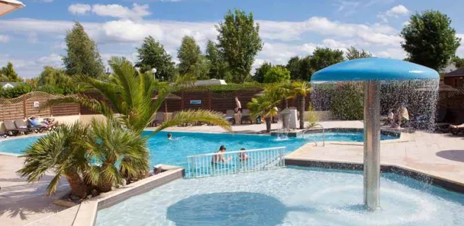
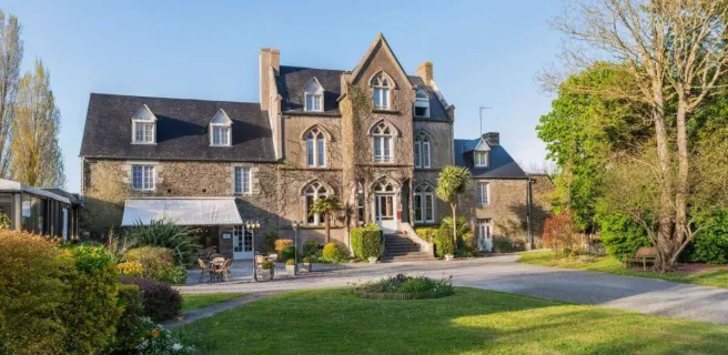
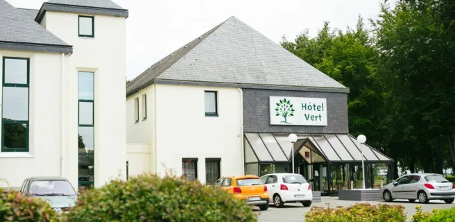
Find your accommodation on this stage


Trains and transport on the route
SNCF
- Gare de Pontorson: at Pontorson, follow signposts for the “gare SNCF”. This signposted link is mainly along a greenway beside the Couesnon River
- Gare d'Avranches: link via quiet little roads through salt marshes.