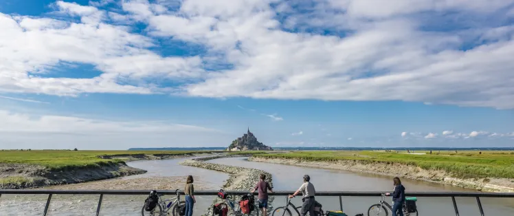
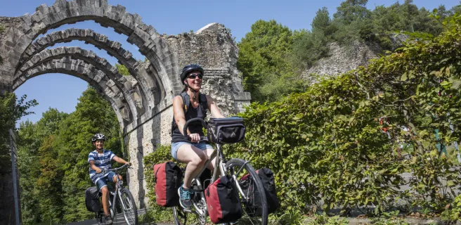
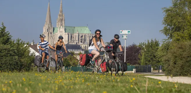
Veloscenic : Paris to Mont-Saint-Michel cycle route


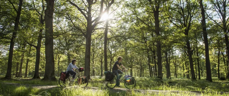
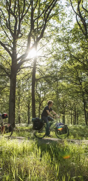
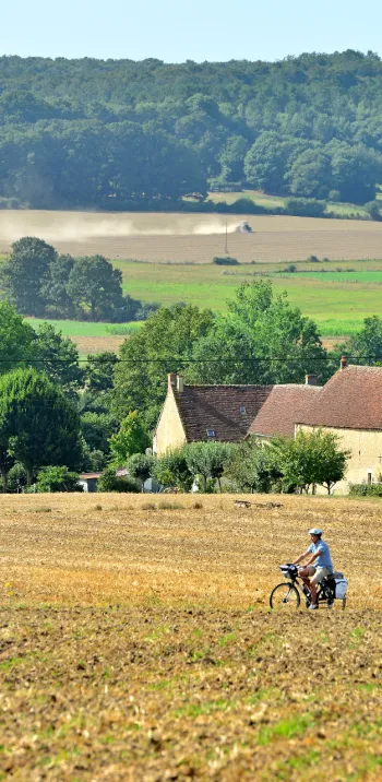
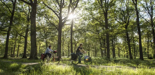
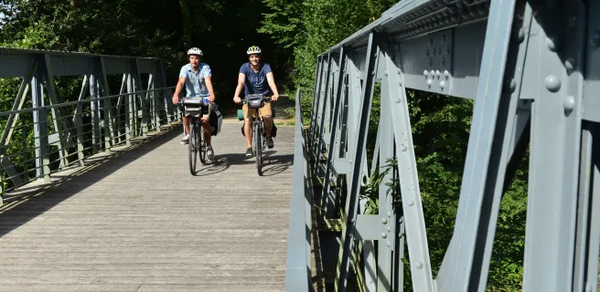
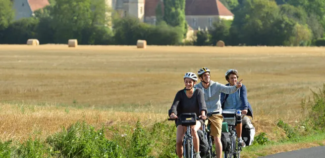
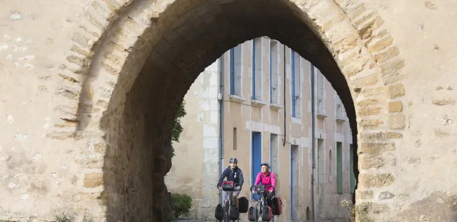
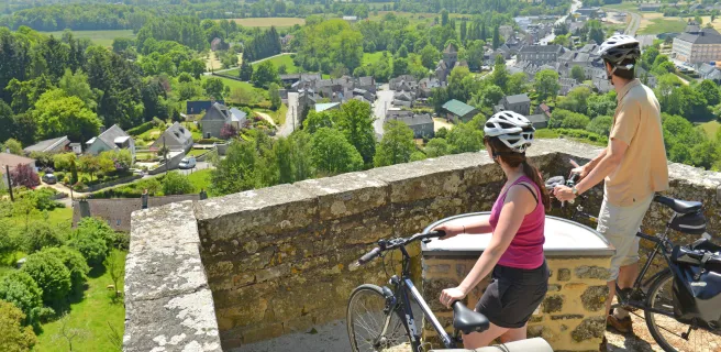
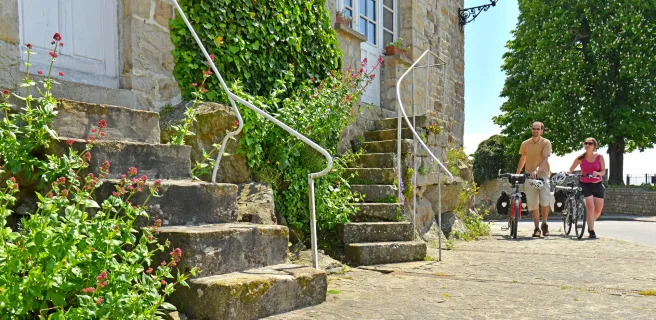
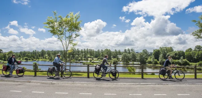
Veloscenic is a cycling adventure across northwest France. Veloscenic is a well-signposted route from Paris and its region, Ile-de-France, via Chartres and Normandy, to the Mont St-Michel. This exceptional trail crosses such gorgeous areas as the Chevreuse Valley, the Perche, French Maine and the Bocage Normand. The route is accessible to different levels of cyclist. Long stretches are along greenways, linked by quiet roads.The Ile-de-France section from Massy to Epernon is provisional. But it is easy to reach other sections by train + bike to enjoy the greenways.
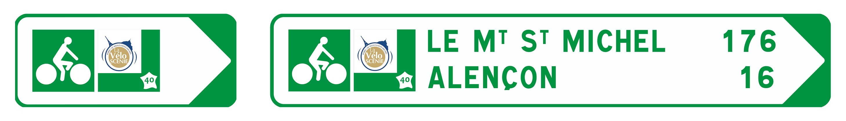
Signposting and state of the itinerary
Veloscenic - Paris to Mont-Saint-Michel is signposted on 98% on the itinerary. The route is mainly developped on designated lanes.
Gradients and elevation
Road types
Surface
Trains and transport on the route
- Île de France : Train stations in Paris, Versailles, Massy and Rambouillet
- Train stations in Epernon, Maintenon and Chartres
- Train stations in Illiers-Combray and Nogent-le-Rorou
- Le Perche : Train stations in Nogent-le-Retrou, Condé-sur-Huisne, Alençon, Flers
- Close to the Mont St-Michel : Train stations in Pontorson, Pontaubault and Avranches
Long-time parkings on Veloscenic
View infrastructure on the map
Cycling route ideas on the itinerary


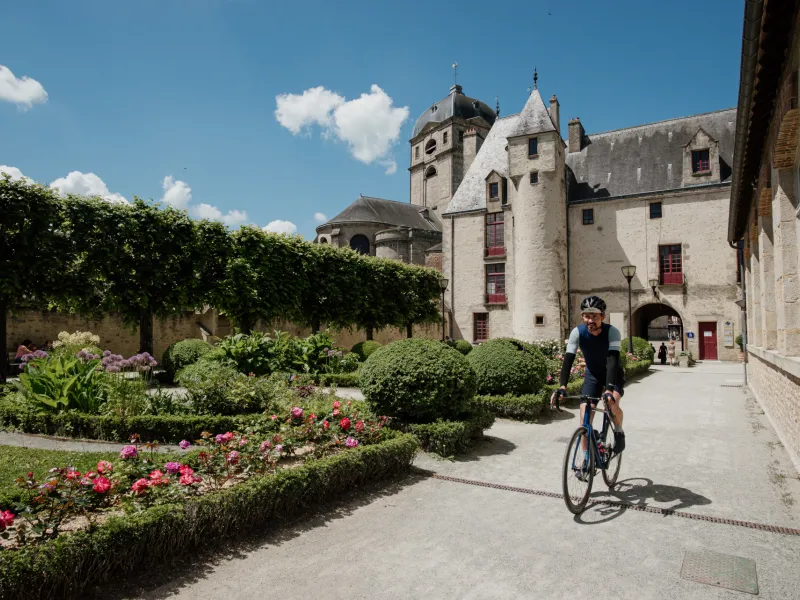
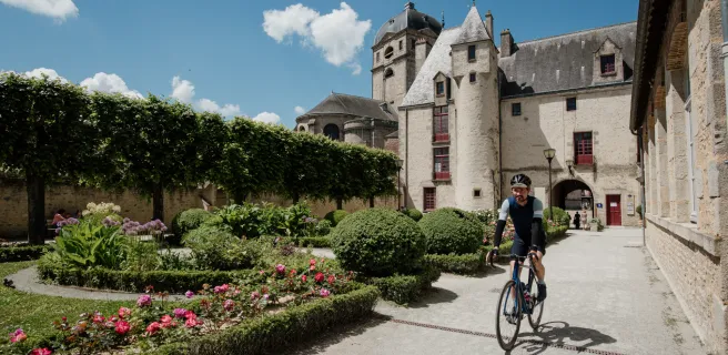
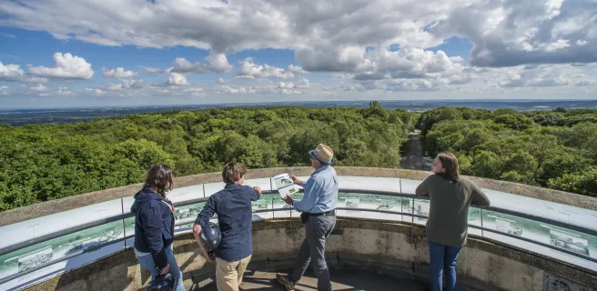
Not to be missed on this route

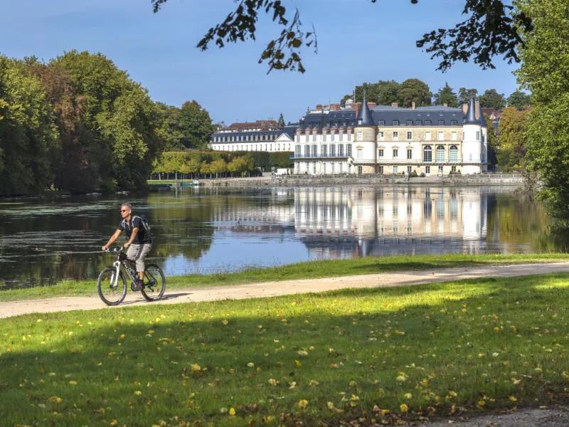
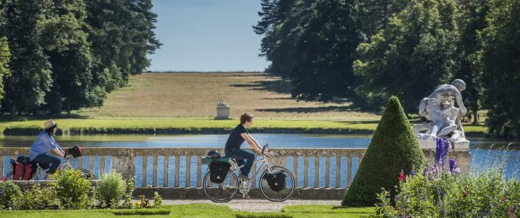
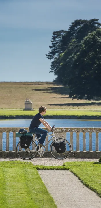
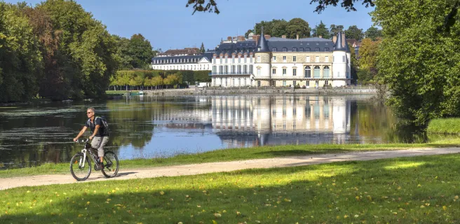
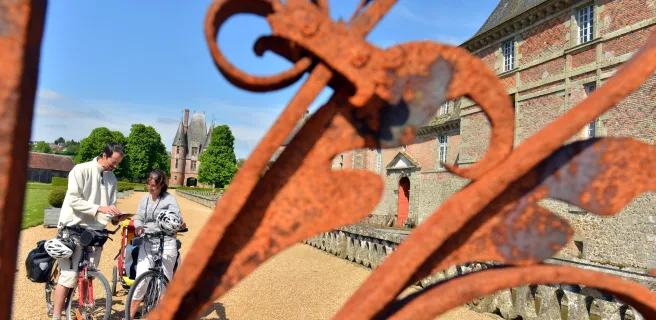
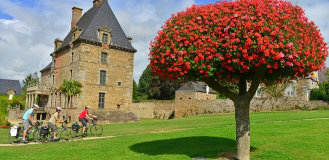
The Château de Rambouillet
Reviews for Veloscenic : Paris to Mont-Saint-Michel cycle route
"Accueil Vélo" accommodation on Veloscenic : Paris to Mont-Saint-Michel cycle route
168 Accueil Vélo accommodations await you on Veloscenic : Paris to Mont-Saint-Michel cycle route!
View accommodations on the map
The best stays to make the most of it


N’oubliez rien !
Check-list du voyageur
The 27 stages of Veloscenic : Paris to Mont-Saint-Michel cycle route

1 Paris / Massy

2 Massy / Versailles
3 Versailles / St-Rémy-lès-Chevreuse
4 St-Rémy-lès-Chevreuse / Rambouillet
5 Massy / Limours

6 Limours / St-Arnoult
7 St-Arnoult / Rambouillet
8 Rambouillet / Épernon
9 Épernon / Maintenon

10 Maintenon / Chartres
11 Chartres / Illiers-Combray
12 Illiers-Combray / Thiron-Gardais
13 Thiron-Gardais / Nogent-le-Rotrou
14 Nogent-le-Rotrou / Rémalard
15 Rémalard / Mortagne-au-Perche
16 Mortagne-au-Perche / Le Mêle-sur-Sarthe
17 Le Mêle-sur-Sarthe / Alençon
18 Alençon / Pré-en-Pail-Saint-Samson
18 Alençon / Carrouges
19 Pré-en-Pail-Saint-Samson / Bagnoles-de-l'Orne
19 Carrouges / Bagnoles-de-l'Orne
20 Bagnoles-de-l'Orne / Domfront
21 Domfront / Barenton
22 Barenton / Mortain
23 Mortain / St-Hilaire-du-Harcouët
24 St-Hilaire-du-Harcouët / Ducey