Vire / Sourdeval

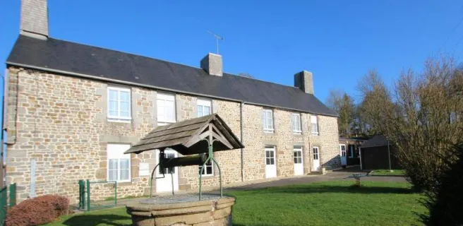
The busy market town of Vire has ancient roots, but it was heavily reconstructed after Allied bombing in 1944. Look beyond the present day and you’ll find remains of the 12th century fortifications built by Henry I, ruler of England and Normandy. And do try Vire’s culinary speciality – the Andouille smoked sausage.
Itinerary
You rejoin the greenway which connects Vire to the Bay of Mont St. Michel to the west of Vire on the RD 185a in the direction of Villedieu les Poeles. A secure route up to Sourdeval and onwards. Stopping point at Sourdeval. Take care when crossing the RD 577 to the south of St. Germain de Tallevende (fast moving vehicles).
Gradients and elevation
Road types
Surface
Not to be missed
Lake Dathée is an ornithological reserve located several kilometres from the Vire, which also offers water sports (sailing, catamaran, kayaking, etc.) as well as an 18-hole golf course.
The Porte Horloge de Vire (gate house), the main entrance to the city, was constructed in the 13th century.