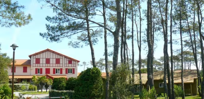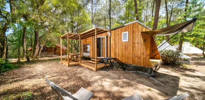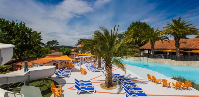
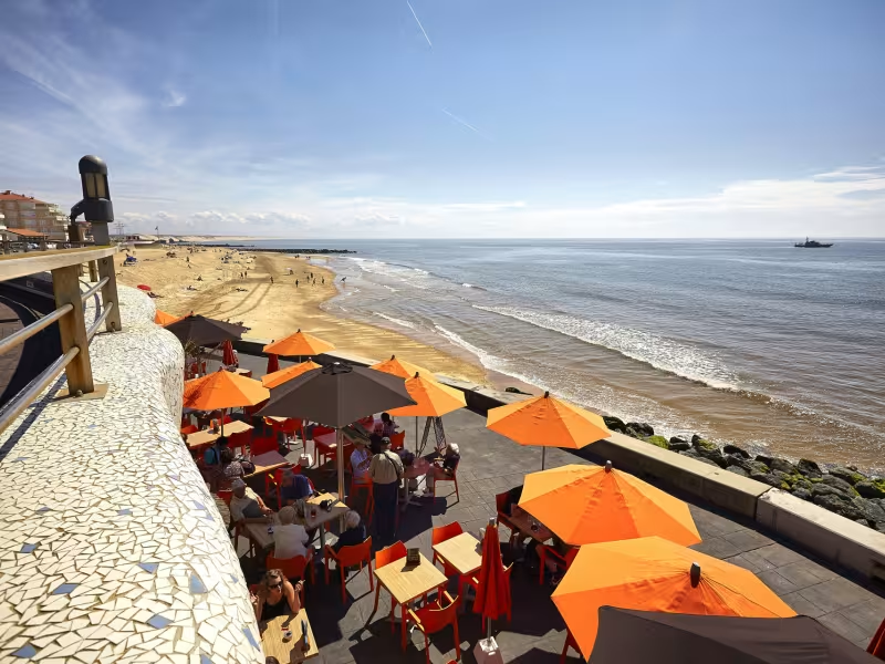
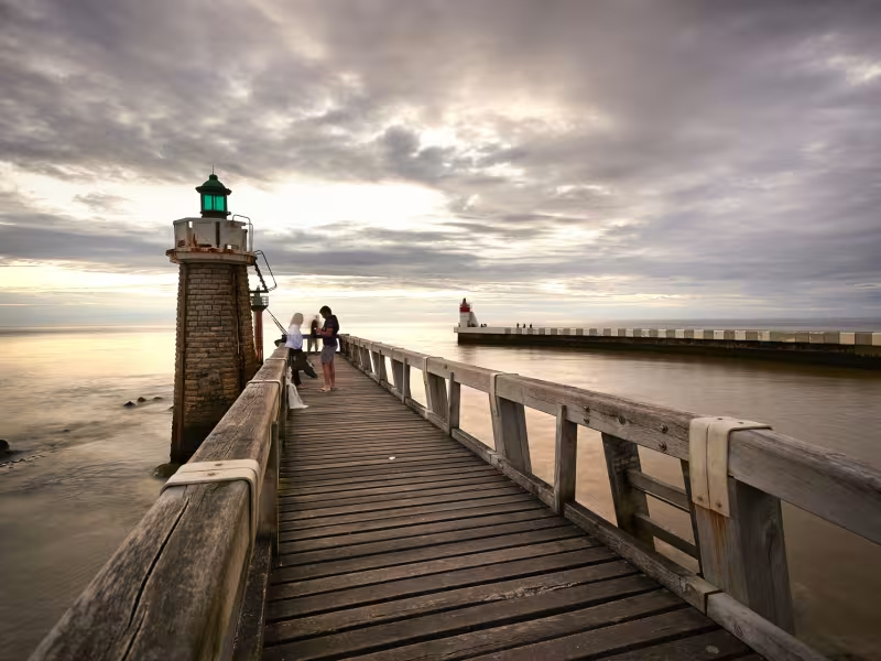
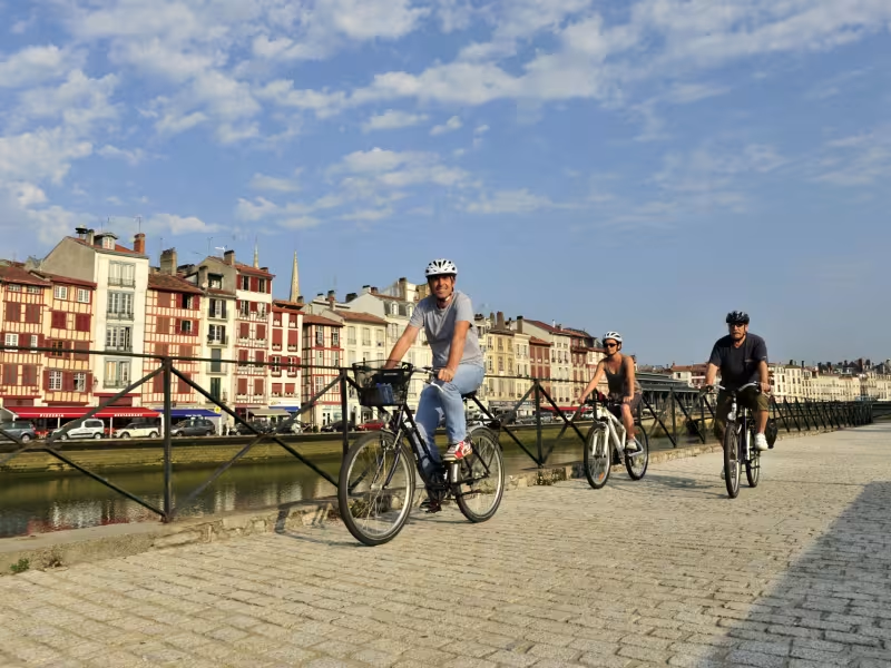
This stage between the Landes and the Basque Country lets us enjoy forest and large beaches as we make our way along beautiful cycle lanes. As we approach Boucau, La Vélodyssée enters more urbanised surroundings. After all, sometimes we must share the highways!
Gradients and elevation
Ascents: 69m
Descents: 66m
Lowest point: 0m
Highest point: 21m
Slope breakdown
3km gentle descent (-5% to -1%)
27km flat (-1% to 2%)
Road types
26km (90%) of cycle paths
3km (10%) of shared roads
- Cycle path
- Routes reserved for cyclists and pedestrians (greenways, cycle tracks, towpaths), separated from cars for maximum safety.
- Shared road
- Quiet minor roads with little traffic (unless otherwise stated in the stage details). Shared with cars (stay alert).
- Not specified
- Data unavailable or being assessed. Please refer to the detailed stage description.
- Provisional
- Section on a road or cycle path awaiting better-quality facilities (see stage details).
Surface
27km (93%) of smooth surface
2km (7%) of natural surface
- Smooth
- Asphalt, tarmac or smooth concrete. Optimal comfort.
- Rough
- Fine gravel, compacted stabilised surface or worn tarmac. Less comfortable, vibrations possible.
- Natural
- Dirt, grass, roots or stones. Under 5%: short sections with little impact. Higher percentage: route suited to mountain or gravel bikes only.
- Not specified
- Data unavailable or being assessed. Please refer to the detailed stage description.
Itinerary
At Capbreton and Labenne, beautiful greenway and several quiet roads (zones 30).
Between Ondres and Bayonne, trickier route: narrow and uneven surfaces.
Between Tarnos and Bayonne, mainly roads, sometimes heavy traffic.
Head towards the station and the tourist information office at Ondres; take care on the D 810.
Connections
To Ondres and Labenne.