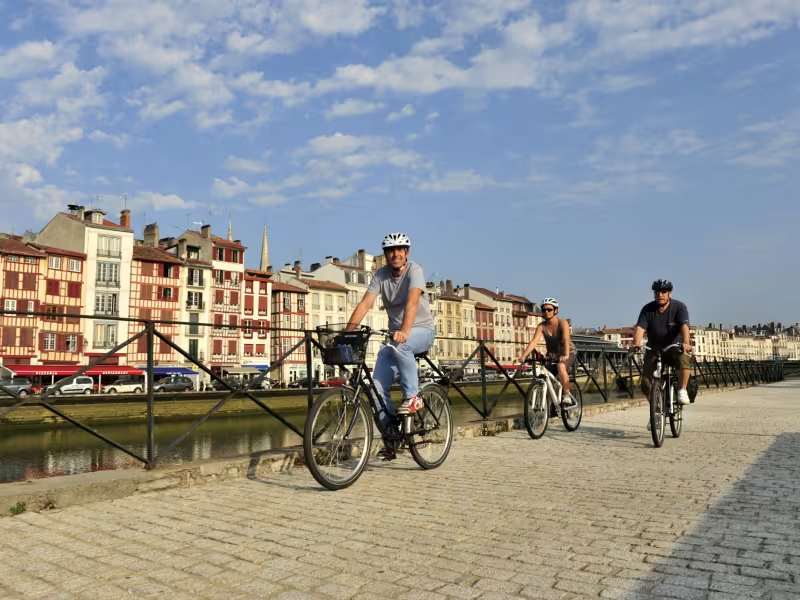
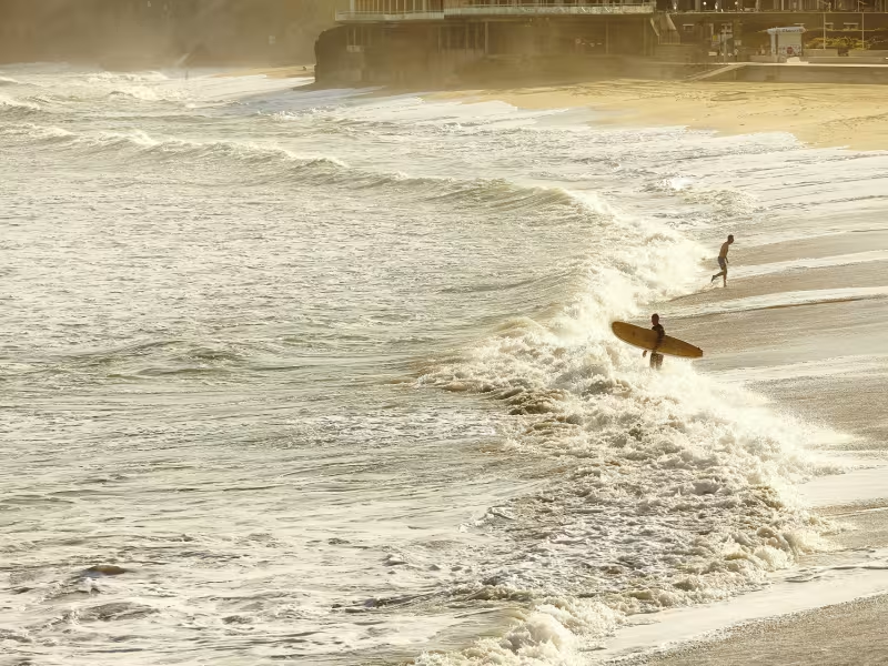
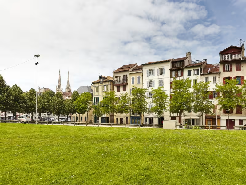
La Vélodyssée now heading north, advances to a few hundred yards from the Côte d’Argent, gradually getting closer to Moliets-et-Mâa and Messanges. The route finally meets the powerful ocean at Vieux-Boucau, the former port (until the river Adour was re-routed to Bayonne in 1578) and today a very pleasant stopping point.
Gradients and elevation
Ascents: 110m
Descents: 92m
Lowest point: 0m
Highest point: 54m
Slope breakdown
2km gentle descent (-5% to -1%)
13km flat (-1% to 2%)
2km climb (2% to 5%)
Road types
11km (66%) of cycle paths
6km (34%) of shared roads
- Cycle path
- Routes reserved for cyclists and pedestrians (greenways, cycle tracks, towpaths), separated from cars for maximum safety.
- Shared road
- Quiet minor roads with little traffic (unless otherwise stated in the stage details). Shared with cars (stay alert).
- Not specified
- Data unavailable or being assessed. Please refer to the detailed stage description.
- Provisional
- Section on a road or cycle path awaiting better-quality facilities (see stage details).
Surface
16km (100%) of smooth surface
- Smooth
- Asphalt, tarmac or smooth concrete. Optimal comfort.
- Rough
- Fine gravel, compacted stabilised surface or worn tarmac. Less comfortable, vibrations possible.
- Natural
- Dirt, grass, roots or stones. Under 5%: short sections with little impact. Higher percentage: route suited to mountain or gravel bikes only.
- Not specified
- Data unavailable or being assessed. Please refer to the detailed stage description.
Itinerary
Good cycle lanes from Bayonne to Anglet, despite being a little narrow, even out of season. Shared lanes while crossing Biarritz. In Biarritz, bicycles and cyclists aren’t well catered for, hence the one-way system along the shoreline... If you are following the Vélodyssée from south to north, do this loop anyway. There are several hills to contend with.
Connection
The connection towards Biarritz station is on a steep incline.