All stages on La Cyclobohème
Buzançais / Châteauroux
David Darrault 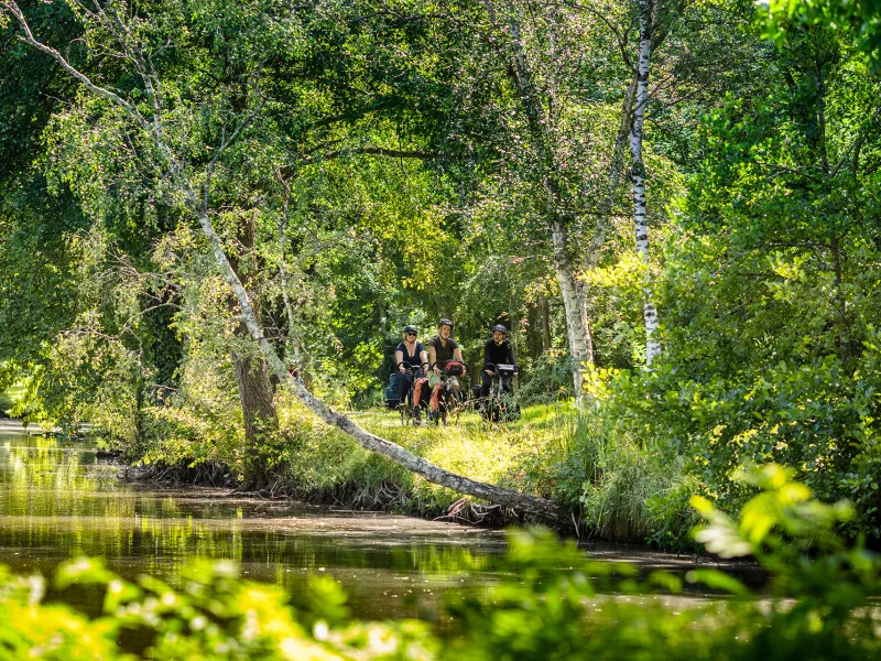
David Darrault 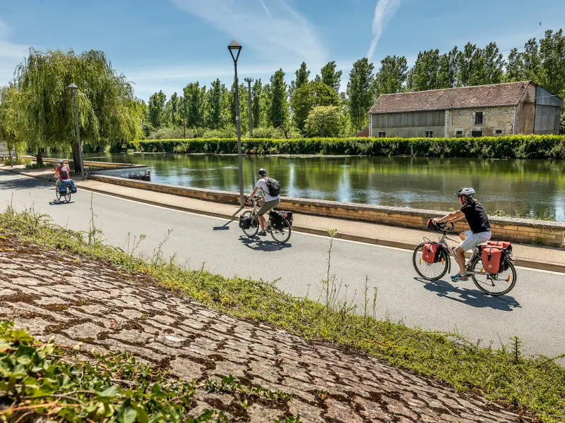
David Darrault 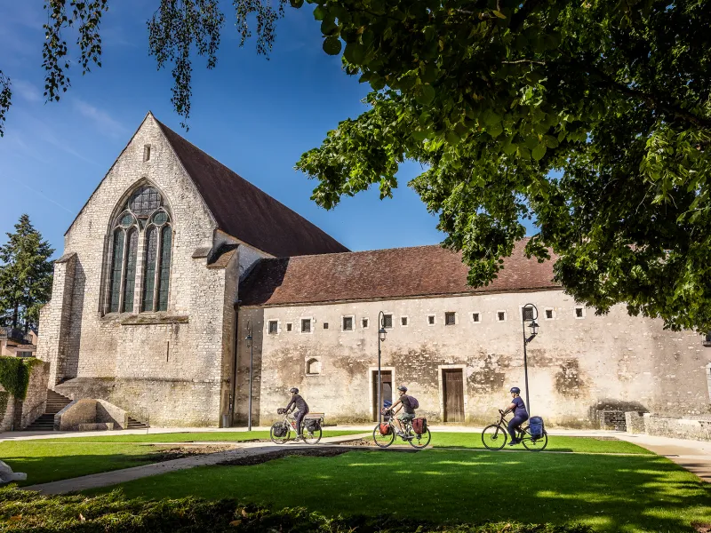
David Darrault 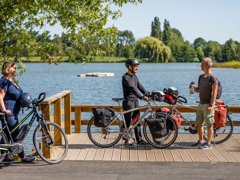
David Darrault 
David Darrault 
It’s a gentle departure from Buzançais, continuing your cycling journey along the Indre Valley via calm roads meandering through typical Berry agricultural lands, not far from the lakes of the Parc Naturel de la Brenne. Before arriving at the town of Châteauroux, there’s a short stretch through parkland, via a greenway crossing Saint Gildas Prairie, making for a very easy, pleasant approach to the historic centre.
The route
Signposted route on county and smaller country roads. Approaching Châteauroux, you join a greenway, allowing you to reach the centre of town along a very safe path.
Connection :
There’s an easy, signposted link to the Parc Naturel de la Brenne leaving Buzançais, going via small country roads.
Gradients and elevation
Ascents: 76m
Descents: 34m
Lowest point: 112m
Highest point: 158m
Road types
32km (94%) By road
2km (6%) Cycle path
Surface
34km (100%) Unknown