Bourg-Saint-Maurice / Val d'Isère
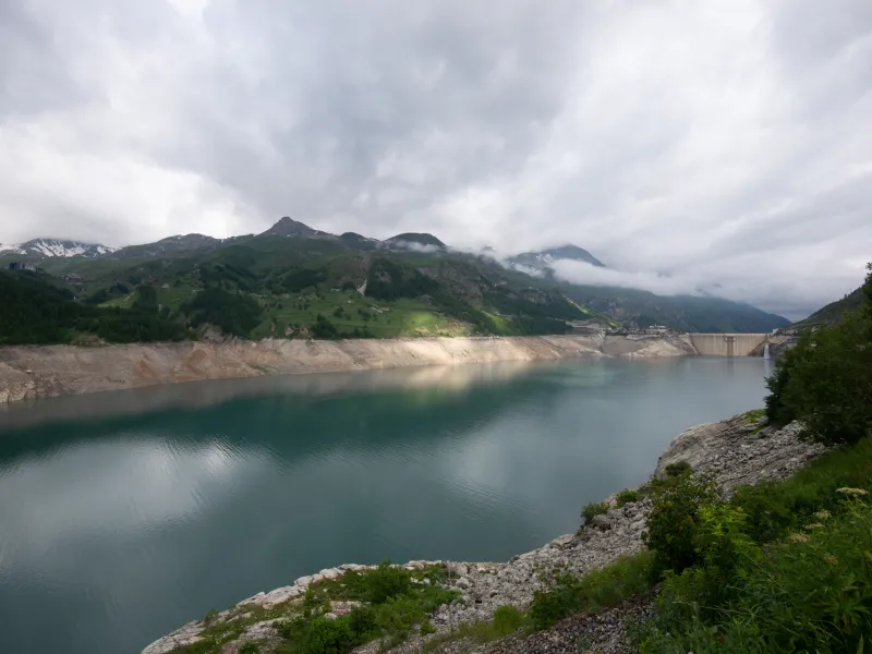
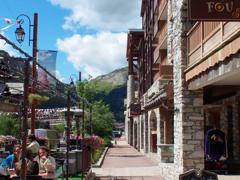
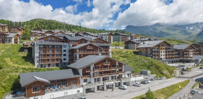
A transitional stage it may be, but what an ending it provides, coming from the north, as, once you’ve ridden past Tignes Lake and its gigantic dam, you arrive at Val-d'Isère, one of the most famous of all ski resorts. In its exceptional setting on the edge of the Vanoise National Park, Val-d’Isère is both one of France’s most prestigious ski resorts and a marvellously polished village. It also serves as a kind of base camp for the highest pass along the Route des Grandes Alpes®, the Col de l’Iseran (2764m). Do consider staying here a few days, alternating between cycling, hiking and just drinking in the local atmosphere.
From Bourg-Saint-Maurice to Val d'Isère via the Col de l'Iseran
Route North / South
↗ 1140m ↘ 118m
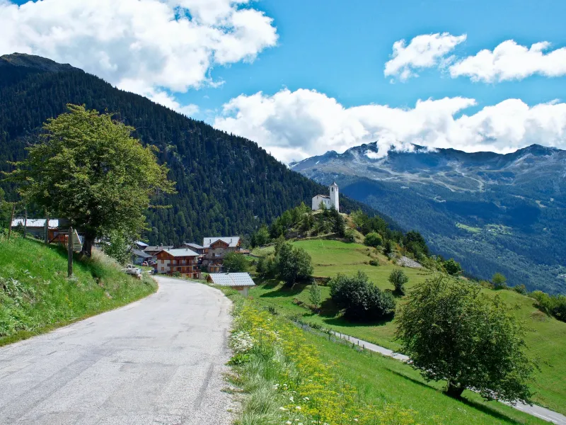
No passes to scale, but you still need to climb over 1100m of slopes over 30km of riding! To go from Bourg-Saint-Maurice to Sainte-Foy-Tarentaise, you have two options. The first, classic choice is along the greenway at the bottom of the valley, leading to the foot of the hairpin bends up to Sainte-Foy-Tarentaise. The second choice, which we recommend, takes you via the resort of La Rosière and Montvalezan. On this way, you significantly add to the altitude you have to scale, but then you can ride along a high balcony of a route with panoramic views across the Vanoise Range. Once Sainte-Foy reached, there’s no alternative – you need to head up the Haute-Tarentaise Valley, passing under avalanche shelters and tunnels, to Le Chevril Dam. Riding through one final road tunnel, you arrive at Val d’Isère.
Route South / North
↗ 118m ↘ 1140m
A linking stage a little over 30km in length. After leaving Val d’Isère via a road tunnel, once past Le Chevril Dam and Tignes Lake, you descend all the way to Sainte-Foy-Tarentaise, where you can choose between two alternatives. The first is via a greenway you join at the foot of all the hairpin bends, going along the bottom of the valley to Bourg-Saint-Maurice. The second, which we recommend, goes via Montvalezan, followed by La Rosière. Taking this option, you spice up this last section with a positive shift in altitude, and the reward is great vistas!
Gradients and elevation
Road types
Surface
Don’t miss
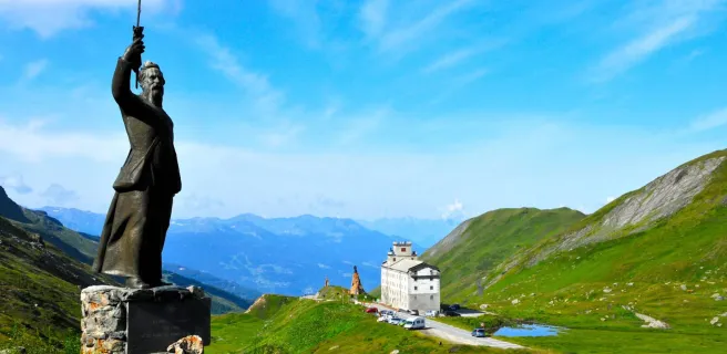
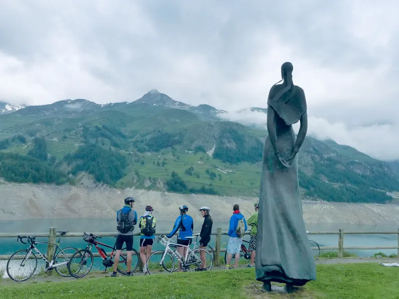
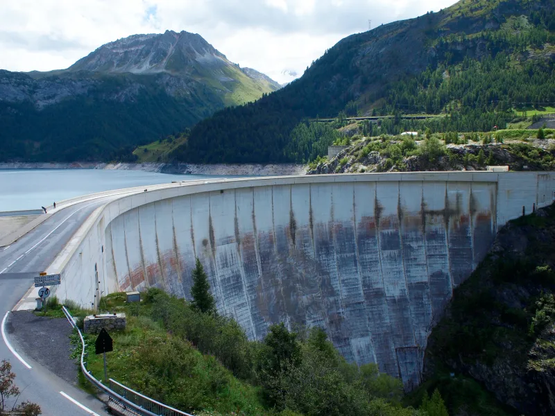
- Le Chervil Dam and Tignes Lake: the dam is the highest in France, decorated with a giant painting representing Hercules. Down at the bottom of the lake lies the old village of Tignes.
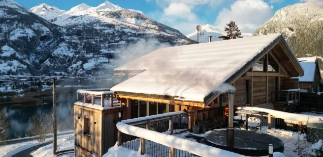
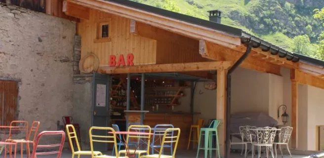
- Val d’Isère: both an internationally renowned ski resort that has spawned many champions and a very beautiful Savoyard village. This is also the ‘‘base camp’’ for scaling the iconic Col de l’Iseran, the highest pass on the Route des Grandes Alpes®.
- La Rosière - Espace San Bernardo: a Franco-Italian mountain resort, perched on its south-facing balcony of land high above the Tarentaise Valley a few km from the Petit Saint-Bernard pass marking the French border with Italy.