5 stages · 101 km

Gradients and elevation

Ascents: 42m
Descents: 74m
Lowest point: 108m
Highest point: 198m

Road types

102km (100%) Cycle path

Surface

42km (200%) Unknown

5 stages used

Toulouse / Montgiscard

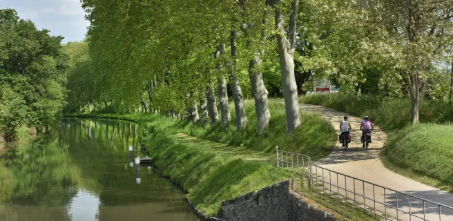
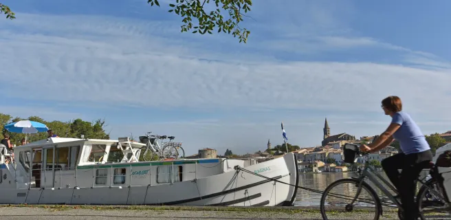
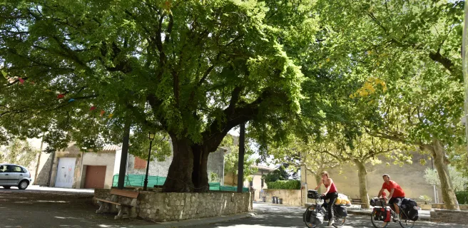
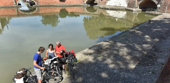
16 Toulouse / Montgiscard

21 km
1 h 25 min
I begin
Leave Toulouse via the greenway beside the Canal du Midi, a path that is very popular with local cyclists avoiding the car-clogged city roads. The canal-side route transports you swiftly into parts shaded by centuries-old plane trees, where old barges lie sleepily in the water. Soon, the village of Montgiscard appears, and you feel you’ve left the big city behind to enter the Lauragais farmlands.
Montgiscard / Seuil de Naurouze

17 Montgiscard / Seuil de Naurouze

27 km
1 h 49 min
I begin
Up to Le Seuil de Naurouze, the Canal du Midi is shadowed by the Autoroute des 2 Mers motorway, but these parallel ways are worlds apart. Centuries-old plane trees continue to provide green shade for cyclists enjoying a journey transporting them back in time to another era. You should thank the canal’s Ancien Régime designer, Pierre-Paul Riquet, the many wondrous architectural designs along the canal attesting to his genius.
Seuil de Naurouze / Castelnaudary

18 Seuil de Naurouze / Castelnaudary

13 km
49 min
I cycle often
Going from lock to lock, the canal’s towpath leads you through the heart of the Lauragais area. Le Seuil de Naurouze, at the watershed dividing the waters flowing to the Atlantic from those flowing to the Mediterranean, is a key point on the Canal du Midi, supplied by the Rigole de la Plaine channel coming down from St-Ferréol Lake. The canal continues to the town of Castelnaudary, capital of famed cassoulet bean and meat stew, but also boasting the largest canal basin on the Canal du Midi.
Castelnaudary / Bram

19 Castelnaudary / Bram

17 km
1 h 06 min
I cycle often
Leaving Castelnaudary, you pass the imposing St-Roch lock with its four interconnecting chambers. Further on, at the level of Bram’s port and the canal-side restaurant, l’Ile aux Oiseaux, a cycle track allows you to make a short detour into the centre of Bram, a town which stands out for its silhouette and its circular medieval centre, known as a ‘circulade’, a form typical of the Aude.
Bram / Carcassonne

20 Bram / Carcassonne

24 km
1 h 36 min
I cycle often
From Bram to Carcassonne, the route runs alongside the Canal du Midi, which is in no rush, so take your time to linger over this beautiful stage. You come to the port in the lower town of Carcassonne, built originally as a fortified medieval grid-plan bastide. Above, Carcassonne’s mighty medieval citadel atop its hill dominates the surrounding countryside. Listed as a UNESCO World Heritage Site since 1997, the citadel encourages many cyclists to make a significant halt on the route here.
Afficher les étapes