2 stages · 73 km

Gradients and elevation

Ascents: 307m
Descents: 254m
Lowest point: 137m
Highest point: 280m

Road types

26km (35%) By road
48km (65%) Cycle path

Surface

49km (200%) Smooth

2 stages used

Strasbourg / Soultz-les-Bains

4 Strasbourg / Soultz-les-Bains

24 km
1 h 38 min
I begin
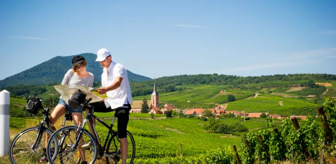
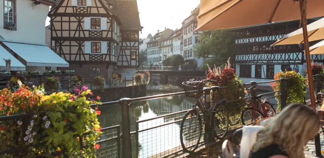
After an unmissable stop in Strasbourg, one of the capitals of the European Union, with its enchanting streets and stunning cathedral, leave the city via the banks of the Ill River and the Canal de la Bruche. Designed by Louis XIV’s engineering genius, Vauban, to transport sandstone blocks from the Vosges Range to Strasbourg, this old canal acts as a guiding thread, taking you through a bucolic natural setting. The way links Strasbourg to Alsace’s Route des Vins (Wine Route) and is a favourite weekend outing for Strasbourg’s inhabitants.
Soultz-les-Bains / Châtenois

5 Soultz-les-Bains / Châtenois

49 km
3 h 18 min
I cycle often
La Route des Vins d'Alsace (or Alsace Wine Route) wends its way along the eastern slopes of the Vosges Mountains. Running parallel to it, the Véloroute du Vignoble d'Alsace (or Alsace Vineyards Cycle Route), crosses picture-postcard landscapes, with ruined castles, flowery villages, Romanesque abbeys, orchards, and a sea of vines. The northern part of the cycle route starts at Marlenheim and goes up to Châtenois, passing via Molsheim, Rosheim, Obernai, Barr and Dambach-la-Ville, under the protective gaze of the Mont Sainte-Odile and the Château du Haut-Koenigsbourg.
Afficher les étapes