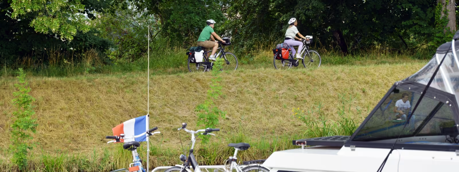
Leaving Montech, the Canal des 2 Mers à Vélo cycle route leads south along the greenway beside the Canal de Garonne towards the great regional capital of Toulouse. Numerous big villages are dotted along the way, like Grisolles, with its museum, and many ‘Villeneuves’, ‘new towns’ dating from the construction of fortified grid-plan settlements… in the 13th century. A cycling circuit through the nearby vineyards of the Frontonnais allows you to discover them and a grape variety unique to this part of southwest France – négrette.
Gradients and elevation
Slope breakdown
Road types
- Cycle path
- Routes reserved for cyclists and pedestrians (greenways, cycle tracks, towpaths), separated from cars for maximum safety.
- Shared road
- Quiet minor roads with little traffic (unless otherwise stated in the stage details). Shared with cars (stay alert).
- Not specified
- Data unavailable or being assessed. Please refer to the detailed stage description.
- Provisional
- Section on a road or cycle path awaiting better-quality facilities (see stage details).
Surface
- Smooth
- Asphalt, tarmac or smooth concrete. Optimal comfort.
- Rough
- Fine gravel, compacted stabilised surface or worn tarmac. Less comfortable, vibrations possible.
- Natural
- Dirt, grass, roots or stones. Under 5%: short sections with little impact. Higher percentage: route suited to mountain or gravel bikes only.
- Not specified
- Data unavailable or being assessed. Please refer to the detailed stage description.
The route
Four hundred metres after Montech, cross the splendid footbridge on to the Canal de Garonne’s other bank. The greenway is well laid out and signposted.
SNCF train stations
Montbartier, Dieupentale, Grisolles, Castelnau-d’Éstrétefonds train stations :
TER regional trains serve > Toulouse ; Montauban (3 to 7 trains daily)