All stages on Carhaix to St-Méen-le-Grand - Cycle Route 6 in Brittany
Carhaix-Plouguer / Rostrenen
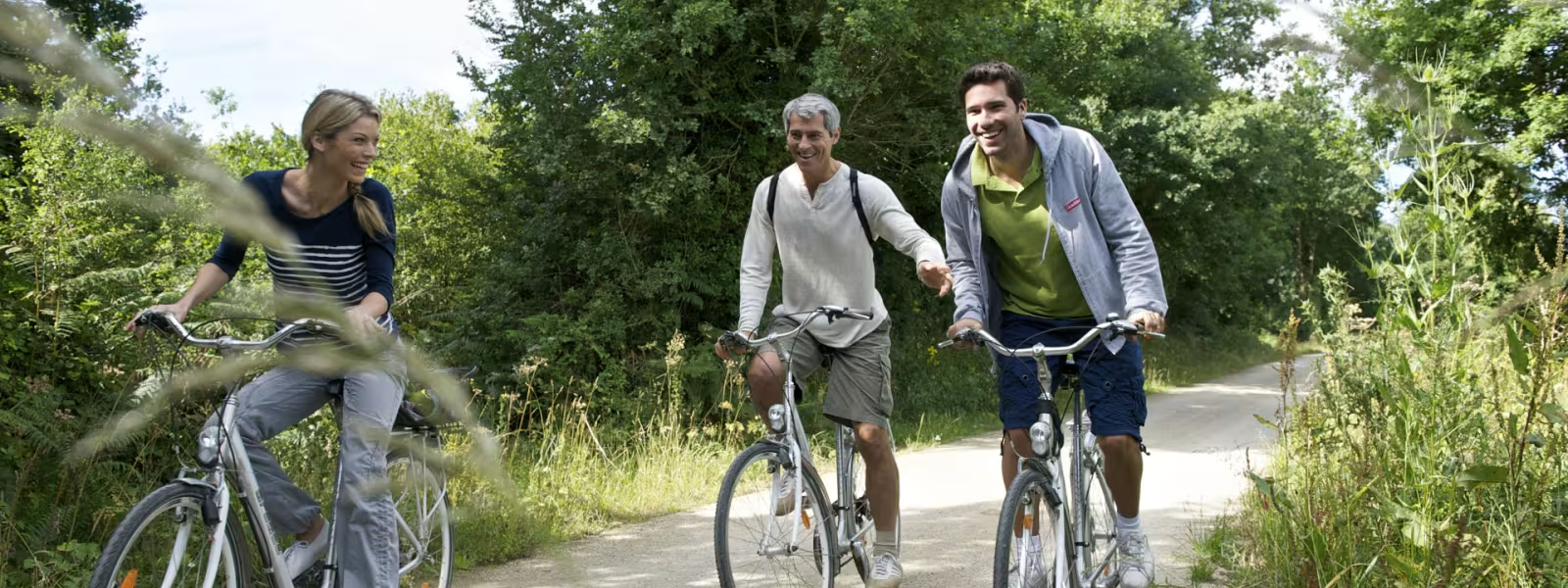
Thanks to its train station, the town of Carhaix today offers easy access to greenways crisscrossing the Breton interior, to towpaths beside major waterways and to many hiking paths. Capital of the Poher area, settled between the Monts d’Arrée and Montagnes Noires hills and between the Hyères Valley and the Canal de Nantes à Brest, Carhaix has been an important crossroads in Brittany since Roman times.
Gradients and elevation
Ascents: 159m
Descents: 75m
Lowest point: 120m
Highest point: 239m
Répartition des pentes
3km descente légère (-5% à -1%)
17km plat (-1% à 2%)
2km montée (2% à 5%)
Road types
19km (87%) de voies cyclables
3km (13%) de routes partagées
Surface
3km (13%) de surface lisse
19km (87%) de surface rugueuse