7 stages · 129 km

Gradients and elevation

Ascents: 598m
Descents: 605m
Lowest point: 83m
Highest point: 237m

Road types

15km (12%) By road
115km (89%) Cycle path

Surface

7km (31%) Smooth
38km (169%) Rough

7 stages used

Carhaix-Plouguer / Rostrenen

1 Carhaix-Plouguer / Rostrenen

23 km
1 h 29 min
I begin
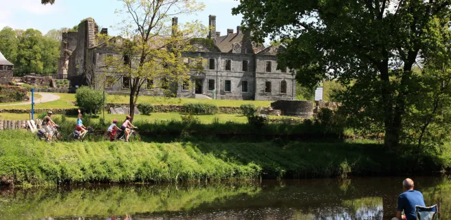
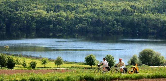
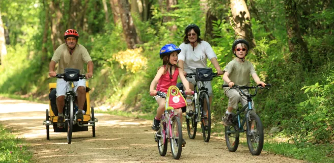
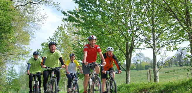
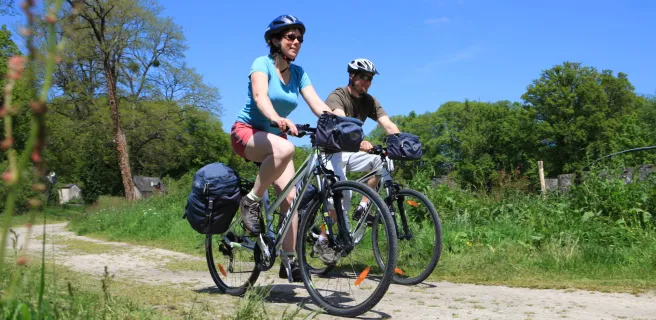
Thanks to its train station, the town of Carhaix today offers easy access to greenways crisscrossing the Breton interior, to towpaths beside major waterways and to many hiking paths. Capital of the Poher area, settled between the Monts d’Arrée and Montagnes Noires hills and between the Hyères Valley and the Canal de Nantes à Brest, Carhaix has been an important crossroads in Brittany since Roman times.
Rostrenen / Gouarec

2 Rostrenen / Gouarec

13 km
51 min
I begin
After cycling calmly along Voie 6 (Route 6), Rostrenen, capital of the Pays Fisel area, has all the amenities you might need on a cycling trip. Rostrenen is a green stop, offering ecologically-minded tourism far from the crowded Breton coasts. Enjoy this nature-oriented stage with family and friends, heading to Gouarec, a village with lovely traditional stone buildings.
Gouarec / Mûr-de-Bretagne

3 Gouarec / Mûr-de-Bretagne

17 km
1 h 09 min
I begin
Two of the highlights of this stage are the beautiful Cistercian Abbey of Bon-Repos and Brittany’s largest lake, the magnificent Lac de Guerlédan: the perfect place to stop for a swim and sunbathe! This varied leg of the trail follows a towpath, a short stretch of coastal route and the greenway.
Mûr-de-Bretagne / St-Caradec

4 Mûr-de-Bretagne / St-Caradec

13 km
51 min
I begin
A greenway allows you to leave the pretty old hilltop town of Mûr-de-Bretagne with ease. You enter a landscape of traditional fields divided by hedgerows. Saint-Caradec, a village at the crossroads with Voie 8 (Route 8) and the Rigole d’Hilvern Channel towpath track, offers a deeply rural stop on this short stage.
St-Caradec / Loudéac

5 St-Caradec / Loudéac

11 km
44 min
I begin
First, following the Tranchée de Pestuan, a lovely water channel flanked by a path (and part of the longer Rigole d’Hilvern Channel running parallel to the Canal de Nantes à Brest), there’s quite a shift in altitude, of 35m (over 100 feet). Then the landscapes alternate between agricultural fields and wind farms producing green energy. Enjoy the pretty flora along this greenway.
Loudéac / Merdrignac

6 Loudéac / Merdrignac

35 km
2 h 19 min
I begin
Between Loudéac and Pont Querra (Plémet), this rural greenway takes on a wilder look as it flirts with the Lié River. At Laurenan, don’t miss the Japanese garden (a private property) and the paintings of Breton landscapes displayed on the outer walls of a few village houses. Also, venture off the route to explore the wild Landes du Mené, scattered with heritage treasures.
Merdrignac / St-Méen-le-Grand

7 Merdrignac / St-Méen-le-Grand

18 km
1 h 14 min
I cycle often
This stage takes you through farmland, with long straight sections that are great for racing joyously along. When you come to the Forest of La Hardouinais, slow down a bit and you might be lucky and be able to spot the odd wild animal.
Afficher les étapes