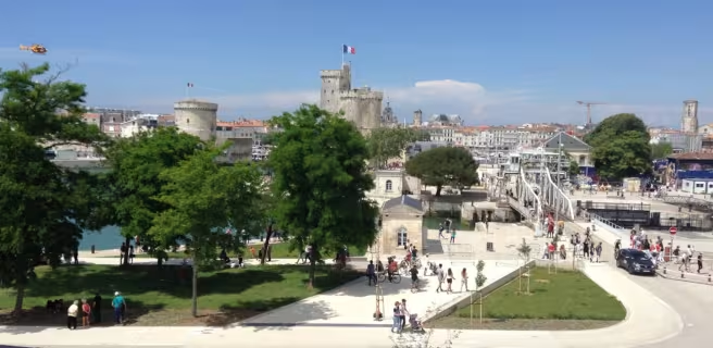
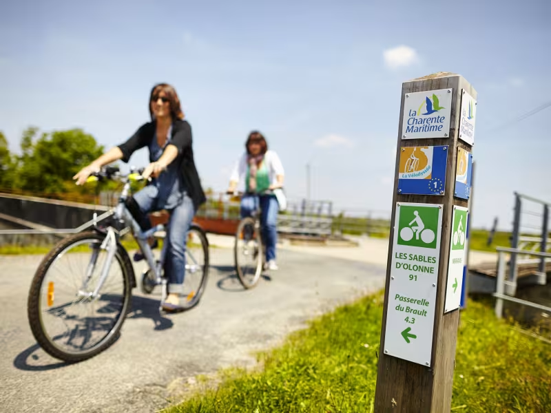
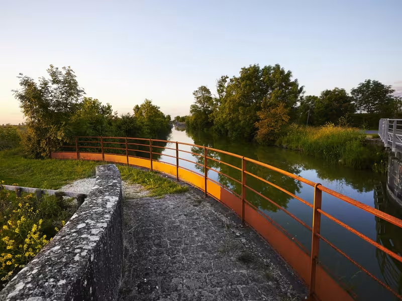
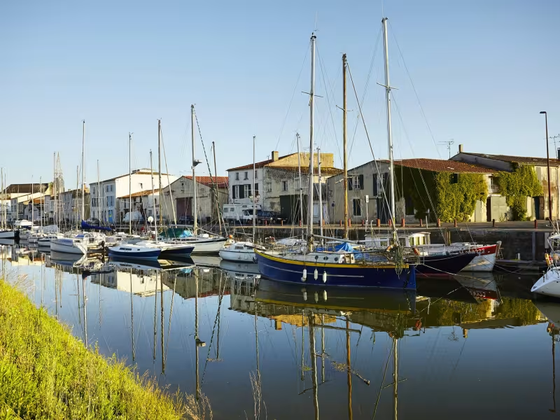
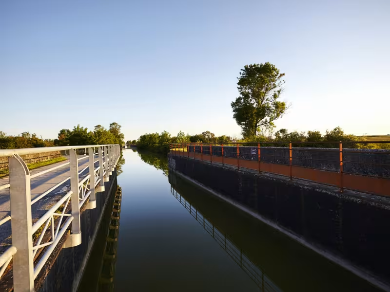
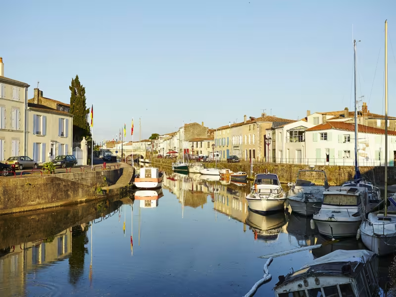
Nature takes centre stage during this leg of the journey, as you cycle past the water that flows through the charming canals which join the Poitevin marshes. We pass Marans, the ancient watchtower on the estuary of the Niort Sèvre which looks out over the marshes, and follow the canal that leads us to La Rochelle and onto the ocean.
Gradients and elevation
Ascents: 38m
Descents: 34m
Lowest point: 0m
Highest point: 34m
Slope breakdown
1km gentle descent (-5% to -1%)
24km flat (-1% to 2%)
Road types
13km (53%) of cycle paths
12km (47%) of shared roads
- Cycle path
- Routes reserved for cyclists and pedestrians (greenways, cycle tracks, towpaths), separated from cars for maximum safety.
- Shared road
- Quiet minor roads with little traffic (unless otherwise stated in the stage details). Shared with cars (stay alert).
- Not specified
- Data unavailable or being assessed. Please refer to the detailed stage description.
- Provisional
- Section on a road or cycle path awaiting better-quality facilities (see stage details).
Surface
7km (30%) of smooth surface
15km (60%) of rough surface
3km (10%) of natural surface
- Smooth
- Asphalt, tarmac or smooth concrete. Optimal comfort.
- Rough
- Fine gravel, compacted stabilised surface or worn tarmac. Less comfortable, vibrations possible.
- Natural
- Dirt, grass, roots or stones. Under 5%: short sections with little impact. Higher percentage: route suited to mountain or gravel bikes only.
- Not specified
- Data unavailable or being assessed. Please refer to the detailed stage description.
Itinerary
Greenway along the Marans Canal to La Rochelle except for a tricky undeveloped section of path to Dompierre-sur-Mer. Cycle lanes continue right into the centre of La Rochelle.