Chaux des Crotenay / Mouthe
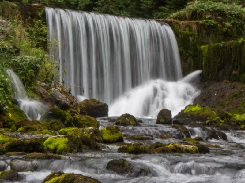
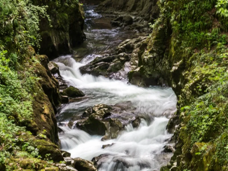
The little bridge over the Saine River after the village of Montliboz offers a lovely view of the Langouette Gorges, a little before you arrive at Les Planches-en-Montagne. Although tucked away, these gorges prove impressive, water having dramatically sculpted the rocks here down the millennia. The cycle route continues beside the Saine to Foncine-le-Bas, then you tackle the upper village of the same name. Taking on the Châtelblanc climb, you enter the area of Haut-Doubs, characterized by wide-open landscapes. Arriving at Mouthe, the Jura’s Mont d'Or mountain by the Franco-Swiss border is often clear to see. For the inquisitive, a short detour leads you to the source of the Doubs River, its beautiful, peaceful setting well worth the detour.
The Route
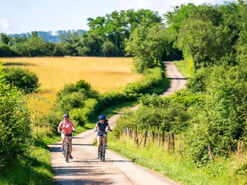
For the most part, you have to climb to reach Châtelblanc, riding along roads shared with motorized traffic, with little to moderate traffic depending on time of day.
As you arrive in the département (county) of Doubs, specific signposting for La P’tite GTJ à Vélo has been put in place.
Practical information
Facilities available along this stage: pharmacy; choice of accommodation; fruitière à comté for ageing the local cheese; train station (for departures); cafés/restaurants; shops; Mouthe Tourist Office
Gradients and elevation
Road types
Surface
Don't miss
- Les Planches en Montagne : Gorges de la Langouette
- Mouthe : source du Doubs