St-Rémy-la-Varenne / la Daguenière

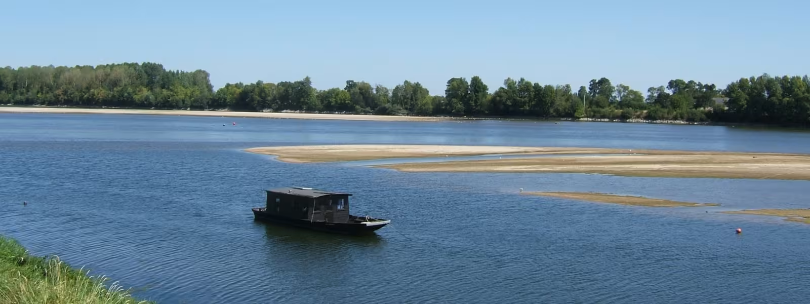
For this Loire à Vélo stage, cross to the Loire’s north bank through Anjou, cycling through former marshes turned into rich agricultural lands in medieval times, when the raised levées were built. Pick up local produce on the way! At La Daguenière, either head for Anjou’s capital city, Angers, via Trélazé’s former open slate mines, or follow the Loire to the dramatic confluence with the Maine River at Bouchemaine.
Route
Via small roads, and sometimes tracks, on this stage sticking mainly to agricultural plains. Take care on the Loire bridge at St-Rémy-la-Varenne. The routes into Angers are remarkable, whether you go via the former slate mines of Trélazé or the Loire-side Levée de la Belle Poule. Make the most of the many little tracks leading down to the Loire to appreciate the particularly broad, magnificent stretches of the river in these parts.
Gradients and elevation
Répartition des pentes
Road types
Surface
Markets
- Les Ponts-de-Cé: Friday morning
- Angers: every days except Monday