

La Réole / Allemans-du-Dropt
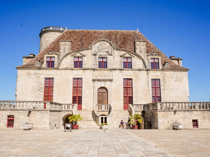
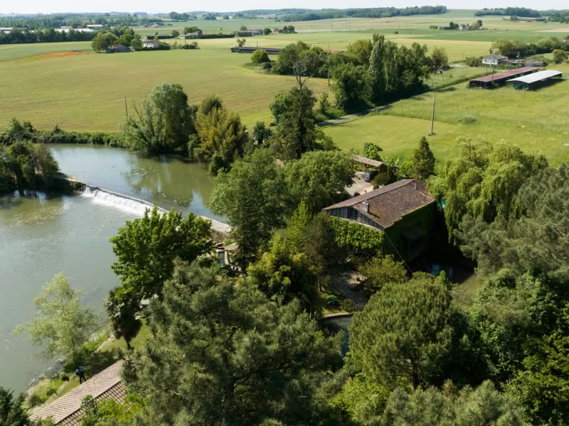
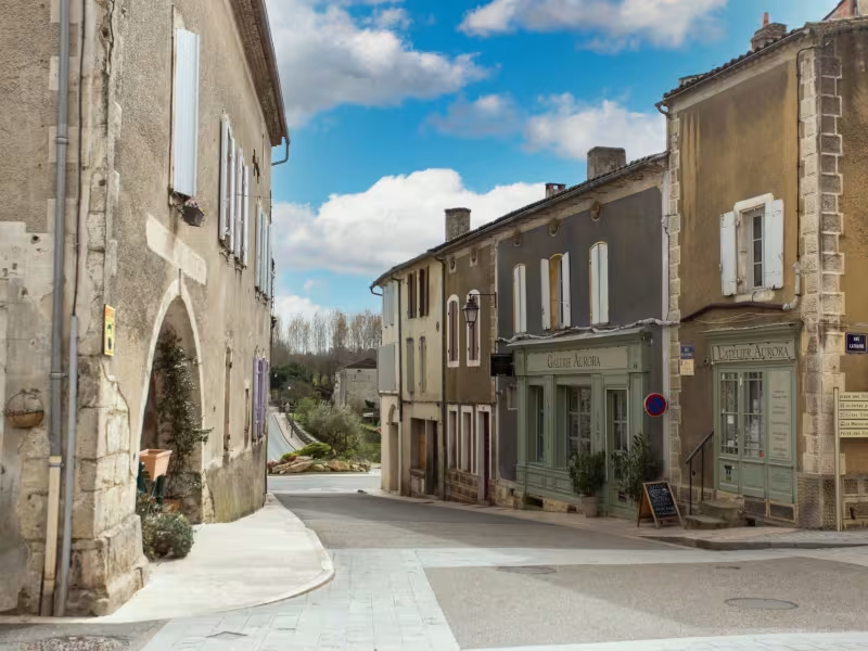
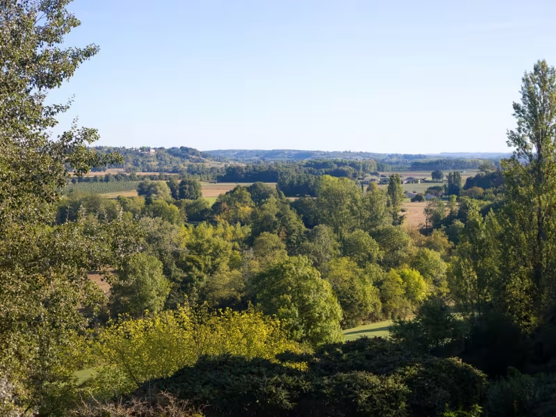
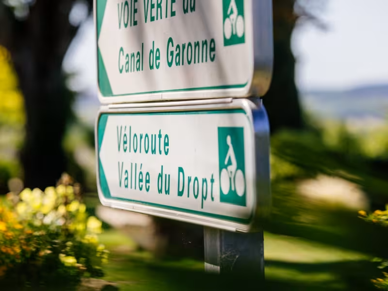
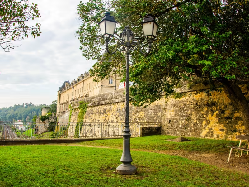
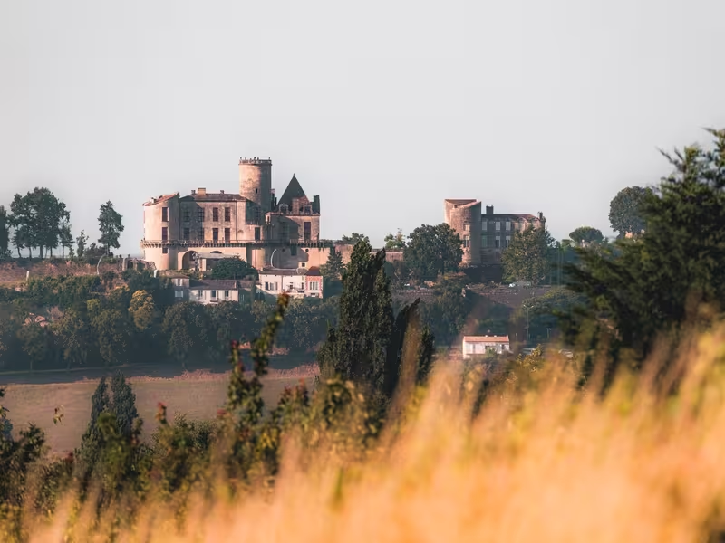
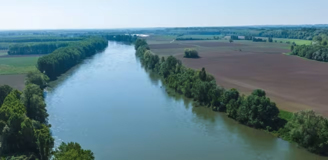
Riding out along a stretch of the Canal des 2 Mers à Vélo cycle route from La Réole station, enjoy the rolling countryside of the Entre-deux-Mers area (between Garonne and Dordogne Rivers), marked by vineyards and unusual oak forests. You’re led away from the Garonne to join the Dropt River at Loubens. Unmissable on its rocky outcrop, Monségur is the first of eight medieval bastide towns that this cycle route crosses. Further on, the iconic Château de Duras commands tremendous views over a swath of the Dropt Valley covered with vines and other crops. Allemans-du-Dropt lies at the end of this first stage, a village for sampling local gastronomy.
The Route
The whole of this stage is along minor roads (quiet county roads or municipal roads) with little traffic. From La Réole to Loubens, follow signposting for the Canal des Deux Mers à Vélo. Once you’ve crossed the Dropt, follow the signage in the direction of Monségur and Duras. At Neuffons and Couthures, the route can be circumvented by following well-maintained gravel tracks; however, it’s perfectly possible simply to stay on the D15 road if you prefer to avoid these. The climb to Monségur presents the challenge on this stage. Enjoy tackling the Côte du Christ, a favourite among local cyclists! Alternatively, avoid this climb by keeping alongside the Dropt River for 1km, but note that this option may not be feasible if it’s rained a lot.
Leaving Monségur, take care going down the Descente de la Bûche towards the place named La Güa, before you then arrive back beside the Dropt. If you wish to head up to town of Duras on its hill (for services, accommodation, etc), best follow the signposted route, which may be steeper than other options, but will be less busy. Otherwise, you can continue straight on to Allemans-du-Dropt.
Gradients and elevation
Répartition des pentes
Road types
Surface
See also
La Réole: designated a Ville d'Art et d'Histoire for its cultural attractions
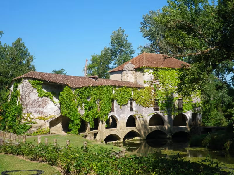
Moulin de Loubens: a mill looking down on the Dropt
Monségur: a medieval grid-plan bastide town founded by Eleanor of Provence (who would marry King Edward III of England in 1236); the iconic 19th-century covered market (halle); the ramparts; the shops
Baleyssagues: Jardin de Boissonna (a garden designated a Jardin Remarquable)
Duras: the Château de Duras; Maison des Vins (showcasing local wines); views over the Dropt Valley; shops
Monteton: viewing point over 13 church steeples
Allemans-du-Dropt: Moulin d'Allemans, an historic mill
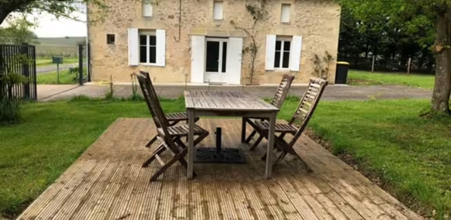
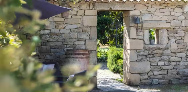
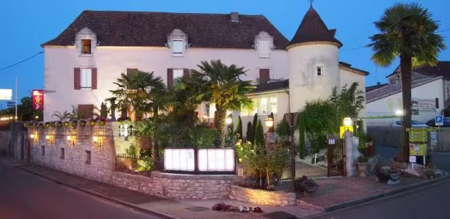
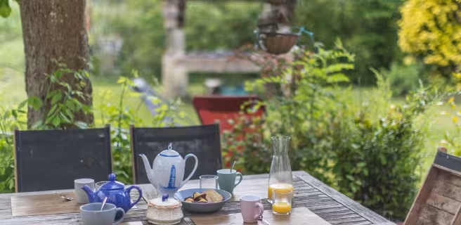
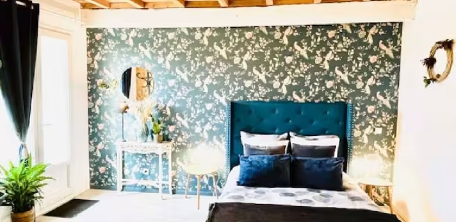
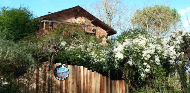
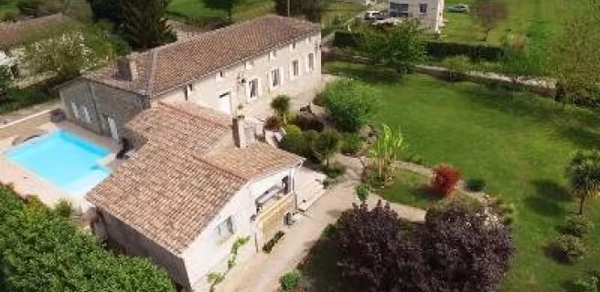
Find your accommodation on this stage
Trains and transport on the route
Train stations run by the SNCF (French national railways)
- La Réole