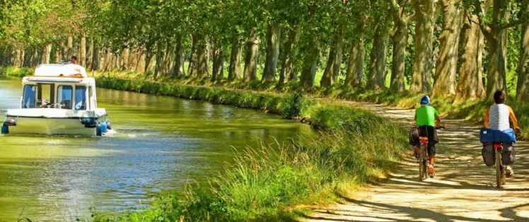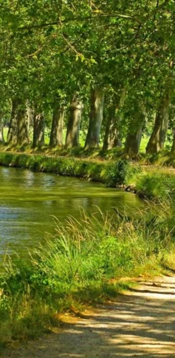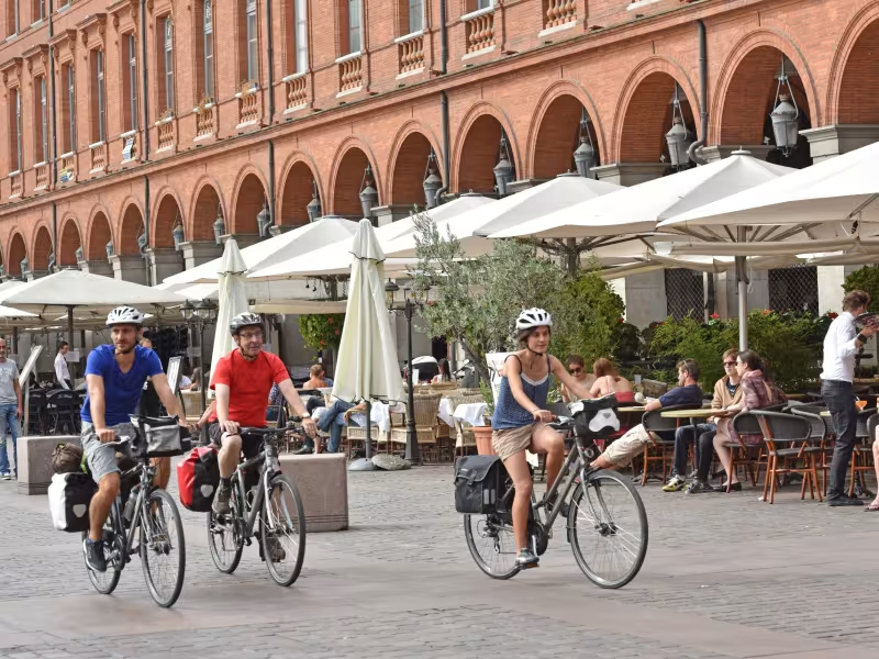
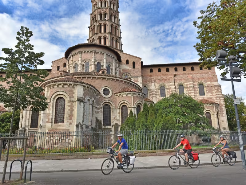
You can sense the outskirts of the huge regional metropolis of Toulouse long before reaching the centre of ‘the pink city’, as it’s nicknamed. Sticking to the Canal de Garonne, its historic tranquillity contrasts with the rampant urbanisation beyond. You enter Toulouse at the junction of the Canal de Garonne, the Canal de Brienne and the Canal du Midi, at the level of Les Pont-Jumeaux. Then a cycle track beside the Canal du Midi takes you into the city centre.
Gradients and elevation
Slope breakdown
Road types
- Cycle path
- Routes reserved for cyclists and pedestrians (greenways, cycle tracks, towpaths), separated from cars for maximum safety.
- Shared road
- Quiet minor roads with little traffic (unless otherwise stated in the stage details). Shared with cars (stay alert).
- Not specified
- Data unavailable or being assessed. Please refer to the detailed stage description.
- Provisional
- Section on a road or cycle path awaiting better-quality facilities (see stage details).
Surface
- Smooth
- Asphalt, tarmac or smooth concrete. Optimal comfort.
- Rough
- Fine gravel, compacted stabilised surface or worn tarmac. Less comfortable, vibrations possible.
- Natural
- Dirt, grass, roots or stones. Under 5%: short sections with little impact. Higher percentage: route suited to mountain or gravel bikes only.
- Not specified
- Data unavailable or being assessed. Please refer to the detailed stage description.
The route
The greenway alongside the Canal de Garonne is well laid out and safe for cyclists. For the final stretch to reach Toulouse city centre, use the cycle track beside the Canal du Midi.
SNCF train stations
Castelnau-d’Éstrétefonds and St-Jory trains station :
TER regional trains serve > Toulouse; Montauban (3 to 7 trains daily)
Toulouse-Matabiau train station :
TER regional trains and Intercités trains serve > Montauban/Agen/Bordeaux ; Castelnaudary/ Carcassonne/Narbonne/ Béziers/Sète/Montpellier (many trains daily)
Other connections from Toulouse pour Brive/Limoges/Paris ; Albi/Castres/Rodez/Figeac ; Tarbes/Pau/Foix.
Tourist offices