


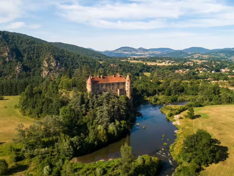
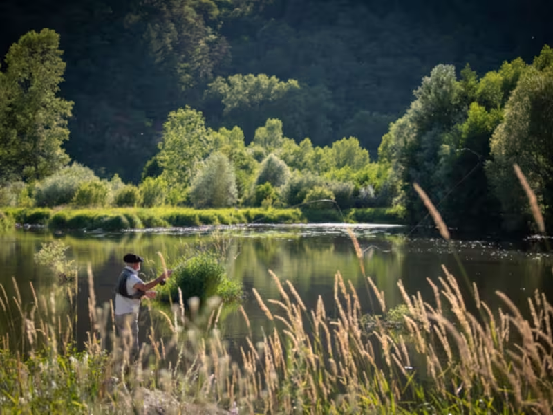
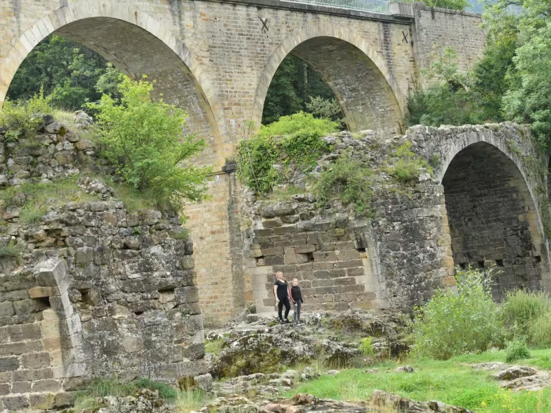
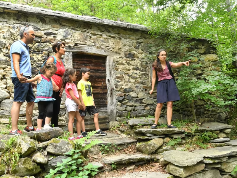
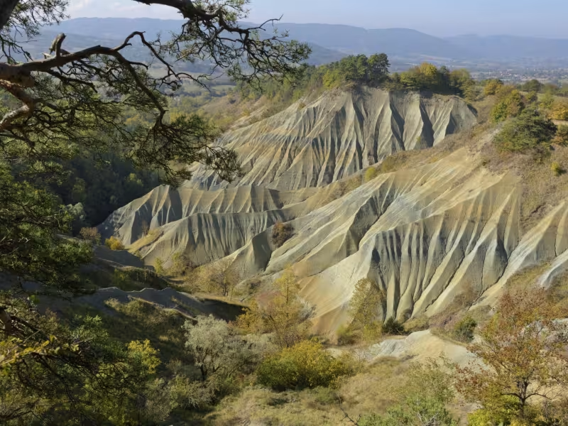
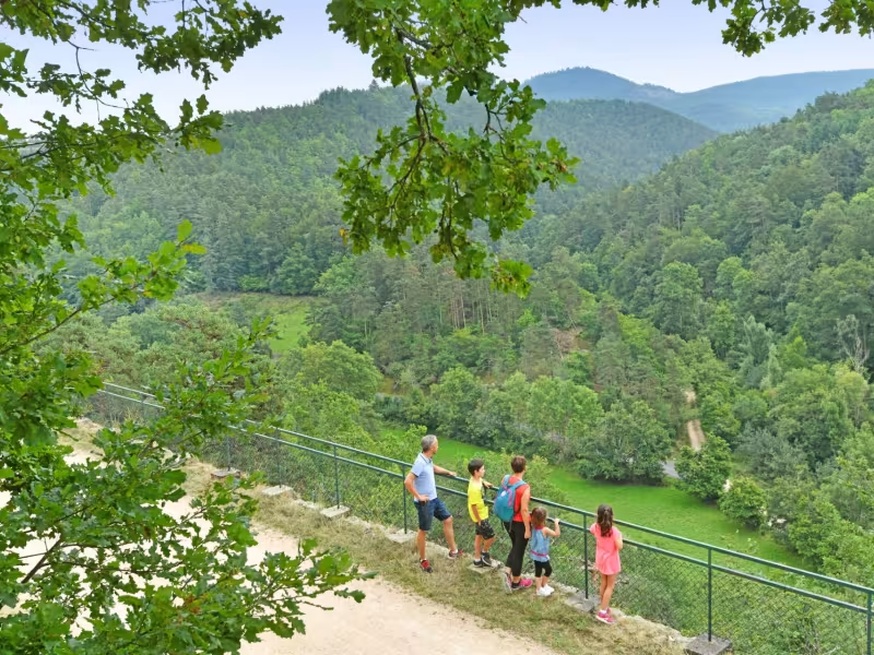
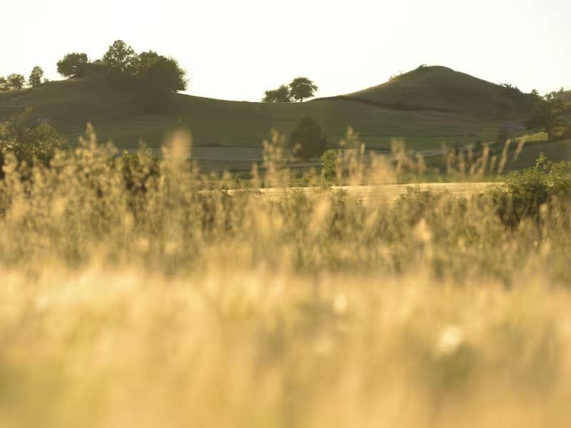
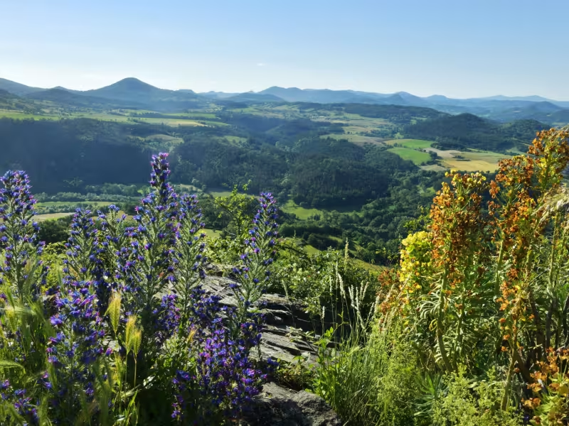
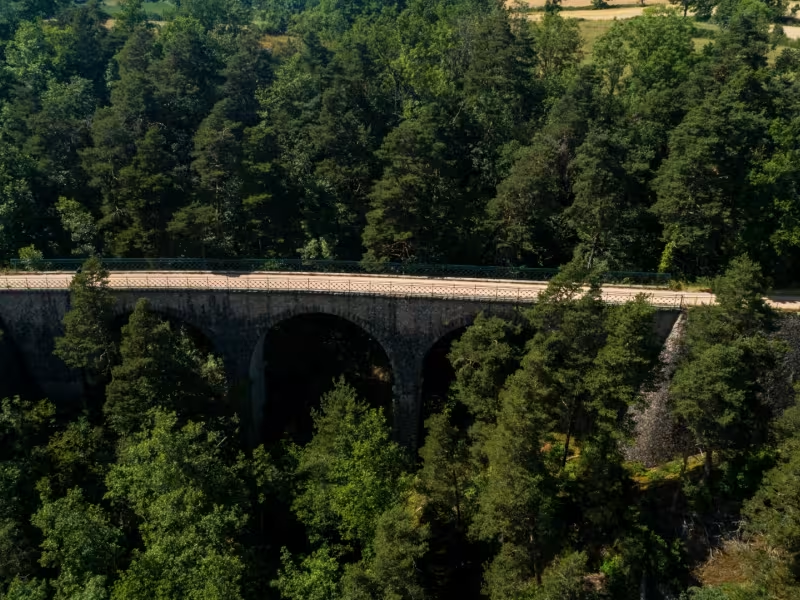
Start your Via Fluvia adventure in the Auvergne’s Velay area, marked by old volcanoes and gorges, the powerful young Loire cutting its way through these lands. Enjoy a last look at what the French call Europe’s last great wild river and the Château de Lavoûte-Polignac. The way rises gently up from the Loire, going along stretches of quiet roads and greenways, through scenery that wouldn’t look amiss in a Western. At Rosières, the Corboeuf Ravines, with steep colourful sides, look like a little slice of Colorado. Racing along on your loyal ‘steed’, imagine chasing an ‘iron horse’ above the Suissesse Gorges! Reaching the end of this melodramatic stage, you zigzag around the great Sucs du Velay; these ancient, rounded volcanoes will be practically the sole witnesses of your progress through these magical parts.
Gradients and elevation
Slope breakdown
Road types
- Cycle path
- Routes reserved for cyclists and pedestrians (greenways, cycle tracks, towpaths), separated from cars for maximum safety.
- Shared road
- Quiet minor roads with little traffic (unless otherwise stated in the stage details). Shared with cars (stay alert).
- Not specified
- Data unavailable or being assessed. Please refer to the detailed stage description.
- Provisional
- Section on a road or cycle path awaiting better-quality facilities (see stage details).
Surface
- Smooth
- Asphalt, tarmac or smooth concrete. Optimal comfort.
- Rough
- Fine gravel, compacted stabilised surface or worn tarmac. Less comfortable, vibrations possible.
- Natural
- Dirt, grass, roots or stones. Under 5%: short sections with little impact. Higher percentage: route suited to mountain or gravel bikes only.
- Not specified
- Data unavailable or being assessed. Please refer to the detailed stage description.
Via Fluvia from Lavoûte-sur-Loire to Yssingeaux
Start on the Via Fluvia in the heart of the village of Lavoûte-sur-Loire, riding off along a portion of the way that alternates between quiet roads and greenways, the surface sometimes rough. Between Lavoûte-sur-Loire and Beaulieu, the way can be narrow. The route continues through the village of Rosières (with little traffic). You’ll cross several remarkable engineering works in the heart of the countryside, affording panoramic views of the Emblavez cereal lands. Between Lavoûte-sur-Loire and Rosières, there are few signposts in place. Note that there is a 3km stretch around a quarry at Saint-Julien-du-Pinet which is used by lorries during the week.
SNCF train stations
Lavoûte-sur-Loire : Regional TER line Le Puy-en-Velay <> Saint-Etienne
Regional TER connection Le Puy-en-Velay <> Clermont-Ferrand and Le Puy-en-Velay <> Saint-Etienne
Don't miss
- Lavoûte sur Loire: Château Lavoûte Polignac dominating the Loire. Still the property of the same family that has owned it for centuries (the present incumbent being Armand de Polignac), inside the château, discover family heirlooms and enjoy the fantastic setting; also see the 12th-century Romanesque church.
- Rosières / Ravins de Corboeuf: canyon made up of multicoloured friable clays
- Moulin de Blanhlac: in the heart of the Emblavez (cereal-growing territory), the village of Blanlhac was once home to 17 mills
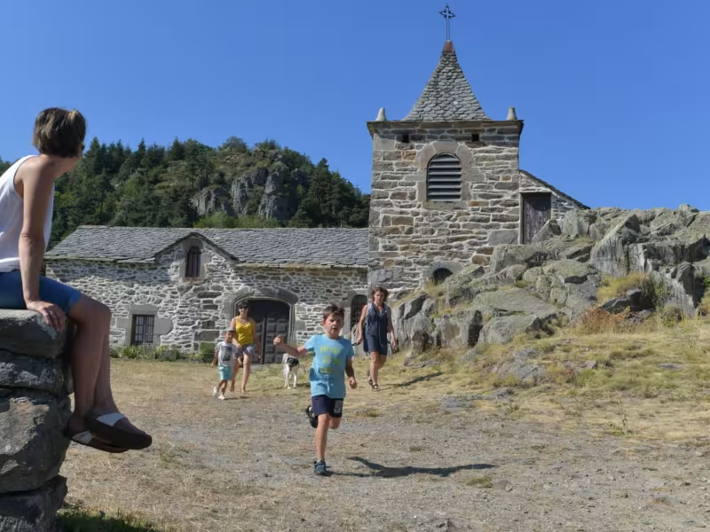
- St Julien du Pinet - Chapelle de Glavenas: located on a rocky outcrop at 979m in altitude, this chapel dominates the Suissesse Valley
- Moulin du Pinard: a 19th-century farm mill, plus old steam engine and explanations on the former rustic railway line in these parts, La Galoche
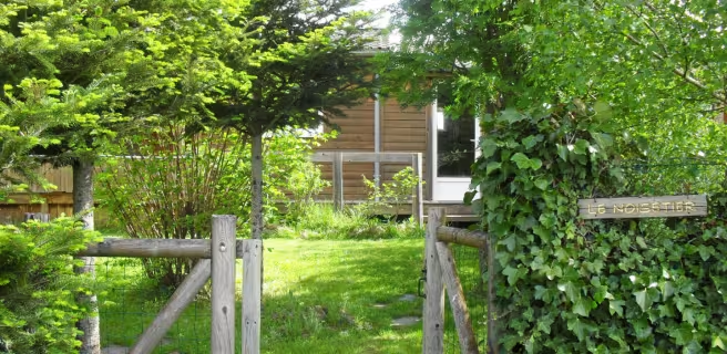
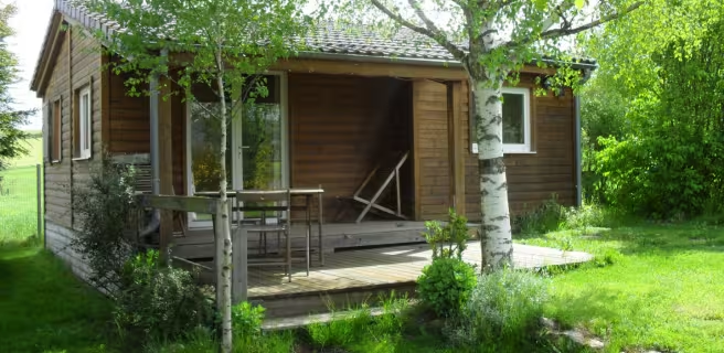
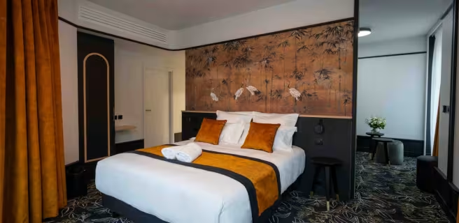
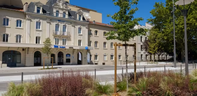
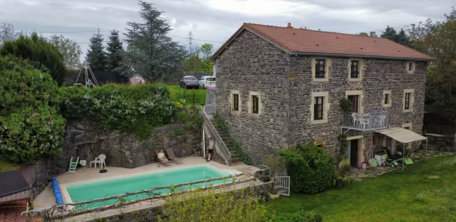
Find your accommodation on this stage


Trains and transport on the route
- Lavoûte-sur-Loire : Ligne TER Le Puy-en-Velay <> Saint-Etienne
Correspondance TER Le Puy-en-Velay <> Clermont-Ferrand et Le Puy-en-Velay <> Saint-Etienne