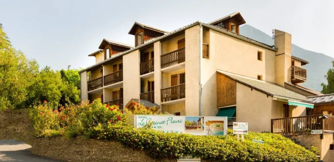
Guillestre / Barcelonnette
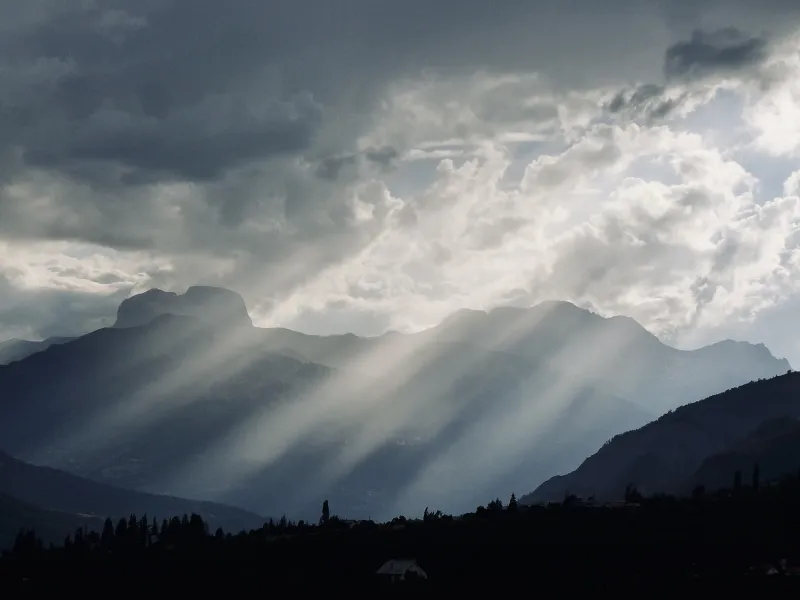
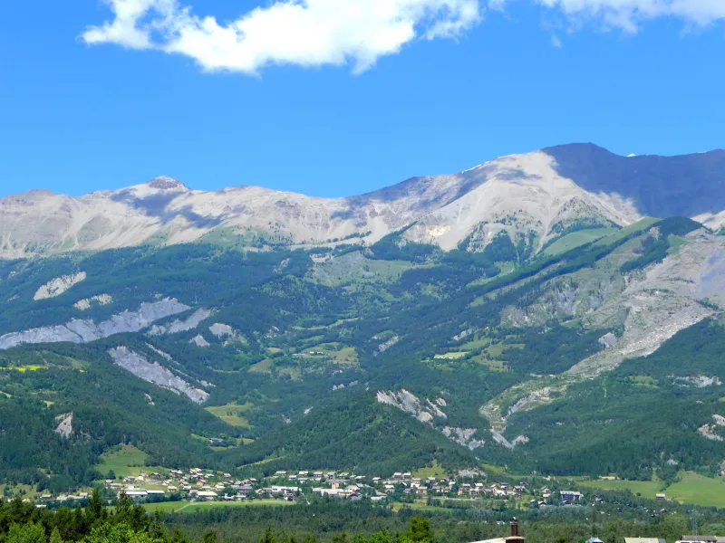
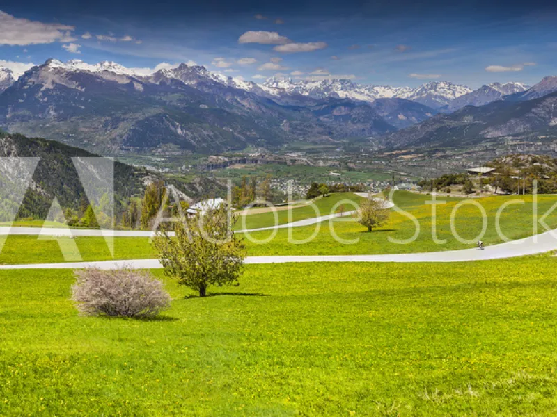
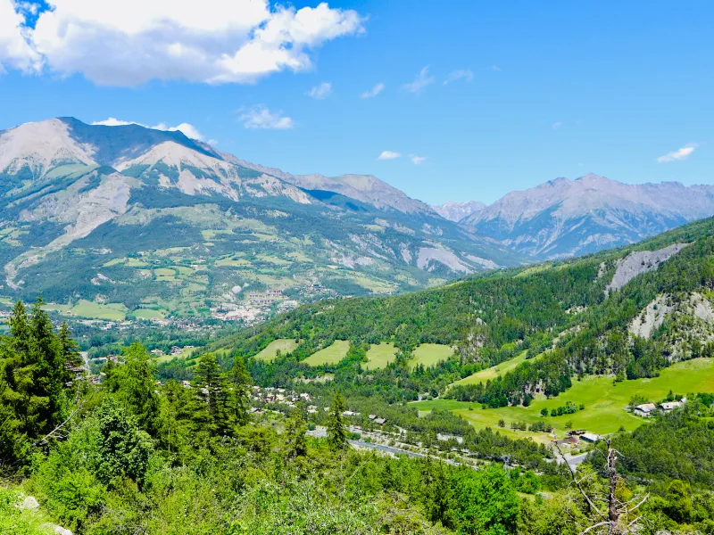
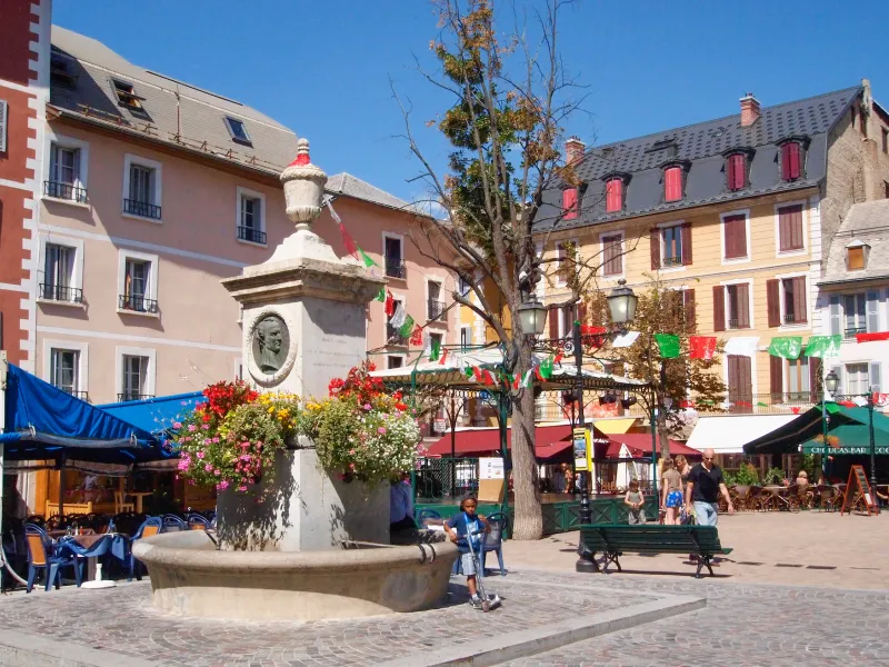
This Route des Grandes Alpes® stage links the Queyras and Ubaye areas, and the counties of Hautes-Alpes and Alpes de Haute-Provence. In addition, it offers stunning views to the Écrins Range. The highlight, and high point, is the Col de Vars pass (2108m), demanding a 1111m shift in altitude. Pretty villages like Saint-Paul-sur-Ubaye and Jausiers, along with splendid landscapes, are the rewards along this stage. Barcelonnette, a charming little town with a distinctive colonial style recalling its strong connections with Mexico – hence its renowned villas mexicaines – has a unique atmosphere among Alpine stops. If you wish to explore Serre-Ponçon Lake, then take the alternative stage via Embrun to the lakeside.
From Guillestre to Barcelonnette
Route North / South
↗ 1160m ↘ 1068m
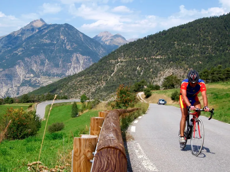
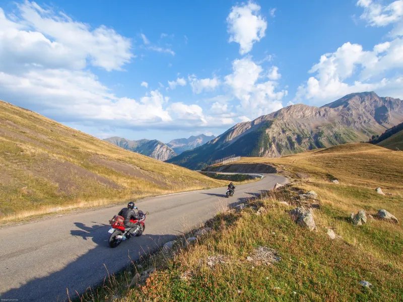
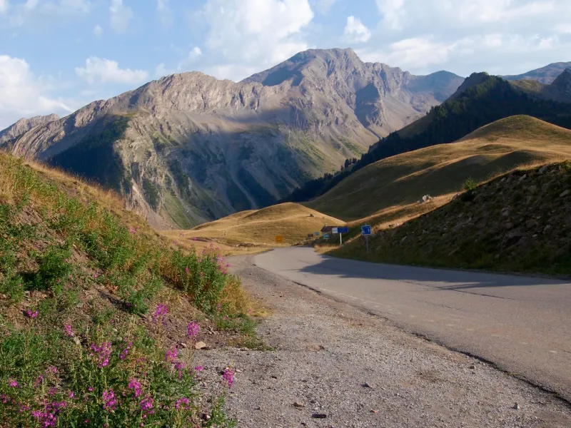
Start attacking the climb to the Col de Vars pass (2108m) as soon as you leave Guillestre. You have c.19km, with a shift in altitude of 1102m, to accomplish to reach the border between the Queyras and Ubaye mountain areas, marked by the pass. You’ll find another Refuge Napoléon here before starting the 34km descent. Soon after Saint-Paul-sur-Ubaye, continue on to Jausiers. At this village, you have the option of continuing to Barcelonnette or choosing the alternative stage going via the Col and Cime de la Bonette.
Route South / North
↗ 1068m ↘ 1160m
From Barcelonnette, head to Jausiers, leaving to your right the alternative route via the Col and Cime de la Bonette. The village of Jausiers marks the official start of the 22km to the Col de Vars pass (2108m), involving an 892m positive shift in altitude. In truth, the really serious cycling only begins at Les Gleizolles, requiring 14km of climbing, with an average gradient of 5% to 6%, but with some stretches at 10%. Midway up to the summit, you cross Saint-Paul-sur-Ubaye. At the pass, where you’ll find another Refuge Napoléon, you leave behind the Ubaye Valley for the Queyras area. Finally, enjoy the lovely 19km descent to Guillestre.
Gradients and elevation
Road types
Surface
Don’t miss
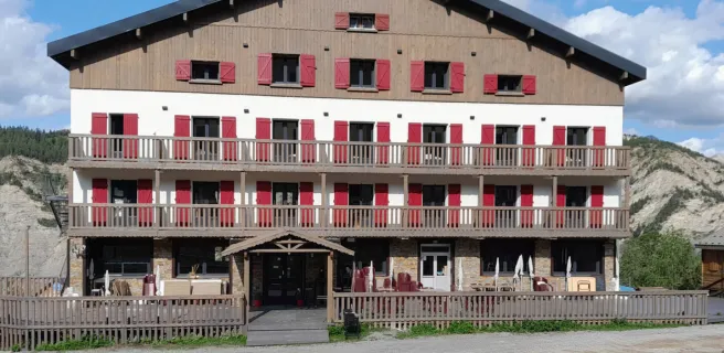
- Guillestre and the Queyras: the lovely little town of Guillestre acts as the gateway to the Queyras’s traditional villages, the great mountain of Monte Viso a dominating presence just on the Italian side of the border.
- Mont-Dauphin Fort: in 2008, the Mont-Dauphin Fort was listed as part of a UNESCO World Heritage Site, along with Briançon and ten other sites dotted around France connected with Louis XIV’s great military engineer, Vauban.
- Vars and the Forêt Blanche ski area: this downhill ski area, covering Vars and Risoul, has a distinctly southern feel. In summer, it serves as a base camp for magnificent hikes.
- Ubaye: discover the town of Barcelonnette, plus a dozen villages including Jausiers, Enchastrayes and Saint-Paul-sur-Ubaye, close to the lively waters of the Ubaye River.
- Tournoux Fort: Between Saint-Paul-sur-Ubaye and Jausiers, the Fort de Tournoux, sometimes curiously compared to a Tibetan Buddhist monastery, looks down from on high on the junction where Ubaye and Ubayette Valleys meet.