All stages on P'tites Routes du Soleil
Saint-Jean-de-Chevelu / Lépin-le-Lac
Lionel Terrail - Grandes Itinérances 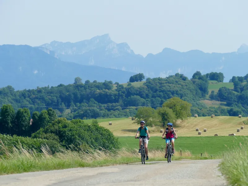
Lionel Terrail - Grandes Itinérances 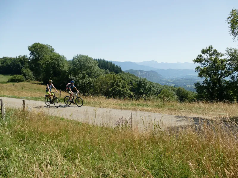
Lionel Terrail - Grandes Itinérances 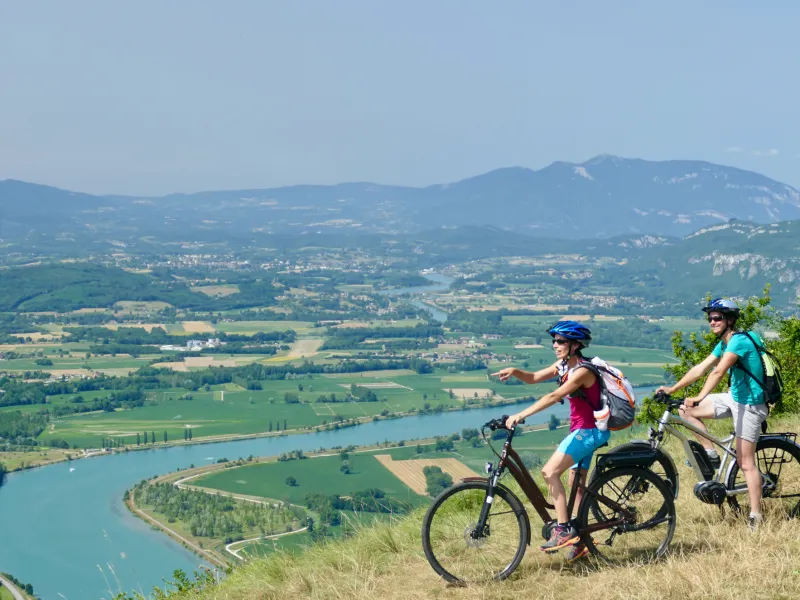
Lionel Terrail - Grandes Itinérances 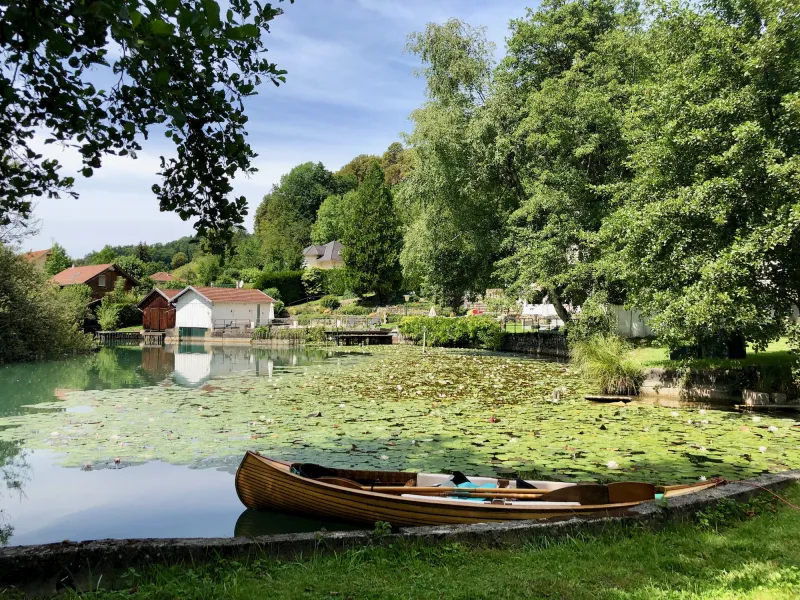
Lionel Terrail - Grandes Itinérances 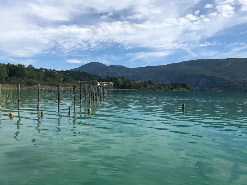
Lionel Terrail - Grandes Itinérances 
Lionel Terrail - Grandes Itinérances 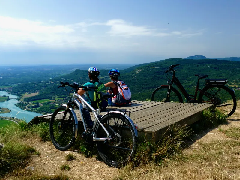
Lionel Terrail - Grandes Itinérances 
You now head from one major French Alpine lake to another! Cycle along this stage to reach the banks of Lac d’Aiguebelette, France’s third-largest natural lake. You leave behind the Chaîne de l’Épine Range, with its great views and mysterious legends, to continue along ways that keep you up on high. Between Aiguebelette and the Rhône Valley, this stage of the P’tites Routes du Soleil® leads you over three further passes: the Col du Mont-Tournier (821m); the Col de la Lattaz (754m); and the Col du Banchet (591m).
Gradients and elevation
Ascents: 1129m
Descents: 1073m
Lowest point: 247m
Highest point: 837m
Road types
45km (100%) By road
Surface
45km (100%) Smooth
Don't miss:
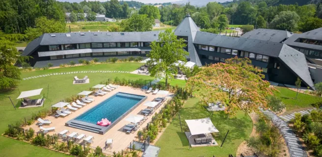
- Lac d’Aiguebelette: a little corner of paradise. Enjoy the Maison du Lac displays, stand-up paddleboard, or a well-deserved little pause on the beach at Lépin-le-Lac… We’ll leave you to decide how to make the most of the gentle possibilities around this exceptional lake.
- Mont du Chat: the highest point in the Chaîne de l'Épine Range dividing Lac du Bourget from Lac d’Aiguebelette. For cyclists wishing to take on an extra, extremely demanding challenge, tackle the climb to the Relais du Mont du Chat (1,496m), considered one of the hardest ascents in France for cyclists.