21 stages · 914 km

Gradients and elevation

Ascents: 20043m
Descents: 20443m
Lowest point: 2m
Highest point: 1378m

Road types

902km (99%) By road
12km (1%) Cycle path

Surface

75km (200%) Smooth

21 stages used

Thonon-les-Bains / Boëge

1 Thonon-les-Bains / Boëge

37 km
3 h 00 min
I cycle a lot
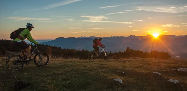
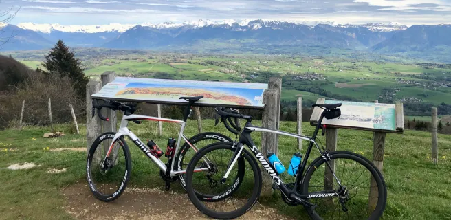
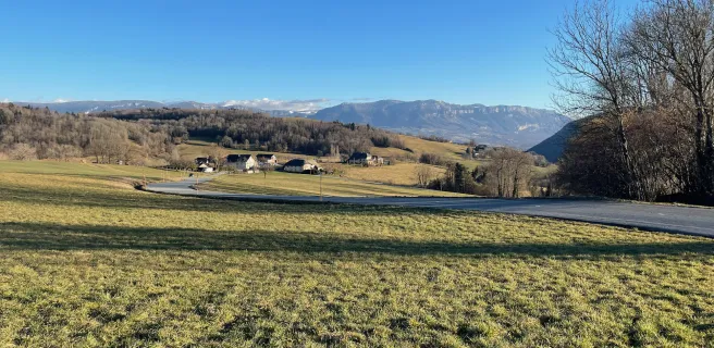
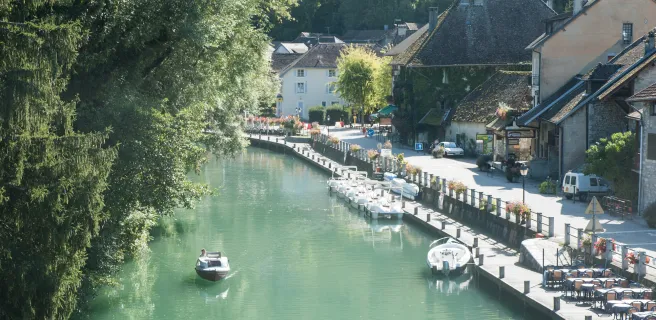
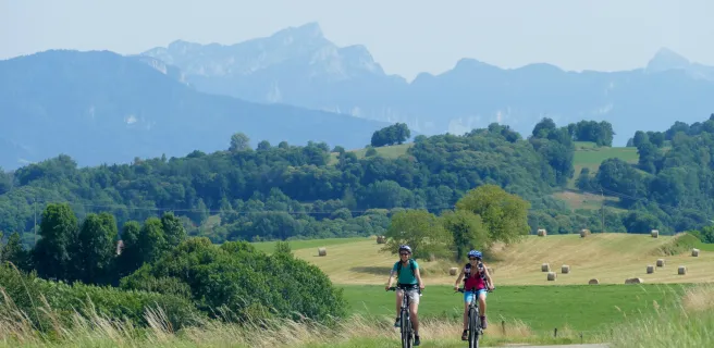
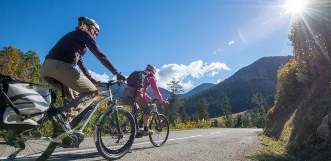
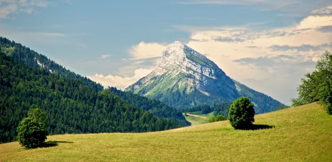
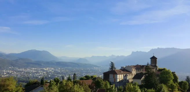
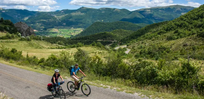
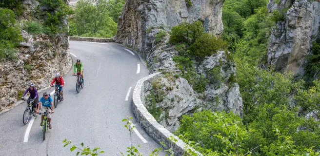
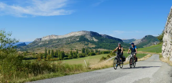
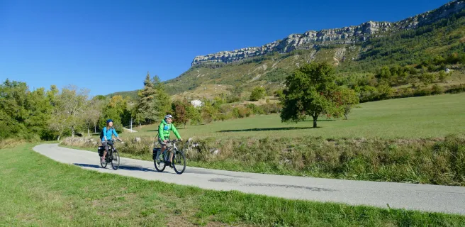
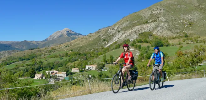
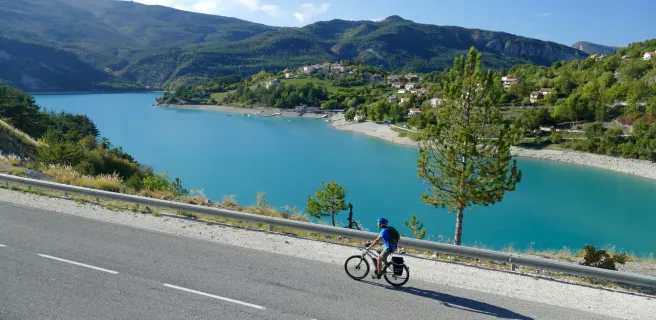
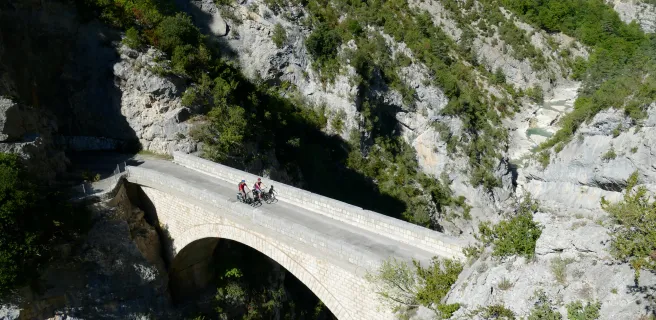
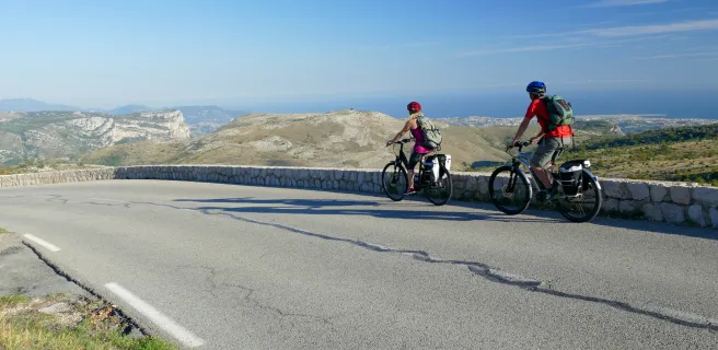
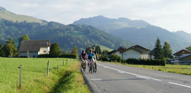
In Haute-Savoie, between Lake Geneva and the Vallée Verte area, cycle along following the Franco-Swiss border, perched high above one of the most beautiful lakes in the world. Your journey begins at lakeside Thonon-les-Bains, official starting point of France’s grandes traversées alpines (or great Alpine crossings), to be tackled on foot, by road bike or on a mountain bike. Here, your way is shared with the second stage of the ViaRhôna cycle route linking Lake Geneva to the Mediterranean via the Rhône Valley. On the P’tites Routes du Soleil®, you’re heading out to tackle the cycle route through the French pre-alpine ranges. After a fairly short but very demanding climb, you cross the Col du Feu (1,120m in altitude), the first pass in a long line. Then descend into the Vallée Verte, to the banks of the usually peaceful Menoge River. Soon you come to the Col de Terramont (at 1,098m), which is less testing and takes you to Boëge.
Boëge / La Muraz

2 Boëge / La Muraz

36 km
3 h 00 min
I cycle a lot
The cycle route continues alongside the Menoge River via the Col des Pitons, heading for Mont Salève (1,335m), a kind of elevated island of greenery rising south of Geneva. The long climb is well worth the effort to enjoy one of the finest views along the whole P’tites Routes du Soleil® route. Perched between the Geneva Plain and the high summits of the département, or French county, of Haute-Savoie, continue along Mont Salève’s crest, making the most of the views over Geneva, the Jura Range, the lakes of Geneva and Annecy, and the Mont Blanc Range.
La Muraz / Desingy

3 La Muraz / Desingy

44 km
2 h 30 min
I cycle often
Having tackled Mont Salève, you come to one of the easiest stretches along the P’tites Routes du Soleil® cycle route. For 40km, the way provides easy, essentially downhill, cycling. Descending from Mont Salève, enjoy some extremely pretty viewing points before reaching Les Usses Valley, where you enter typical Haute Savoie countryside in a steep, verdant valley. Riding past old stone buildings, including churches, and past vineyards, along the way you’ll encounter one of the historic pilgrimage paths to Santiago de Compostela.
Desingy / Entrelacs

4 Desingy / Entrelacs

43 km
2 h 30 min
I cycle a lot
You now come to the Albanais area, marked by curvaceous valleys offering grandiose views of the French Alps. These parts provide a mix of hills, forests and vertiginous gorges. This is certainly one of the stages of the P’tites Routes du Soleil® cycle route with the most ups and downs, taking you through farmland and unspoilt mountains. However, there aren’t any major climbs along this stage, just a series of slopes to tackle one after the other… but overall the stage involves more descents than ascents! Arriving at Albens, you reach the end of the cycle route’s stretch in Haute-Savoie. Make the most of this stage to admire views of France’s northern Alpine summits.
Entrelacs / Saint-Jean-de-Chevelu

5 Entrelacs / Saint-Jean-de-Chevelu

37 km
2 h 27 min
I cycle a lot
Climbing to the Montagne de l’Épine, make the most of views from on high over France’s largest natural lake, 18km in length, created by the melting of glaciers in the distant past. The Tour du Lac du Bourget à Vélo is one of the classic cycling circuits to enjoy in the French département, or county, of Savoie. Sticking to the P’tites Routes du Soleil®, you’ll only do half of this Tour, riding above the unspoilt side of the lake, a refuge for fish and birds. Having scaled the Col de la Chambotte (a pass at 650m in altitude) and the Col du Chat (633m), you leave Lac du Bourget behind as you head for the Avant-Pays Savoyard area.
Saint-Jean-de-Chevelu / Lépin-le-Lac

6 Saint-Jean-de-Chevelu / Lépin-le-Lac

45 km
3 h 01 min
I cycle a lot
You now head from one major French Alpine lake to another! Cycle along this stage to reach the banks of Lac d’Aiguebelette, France’s third-largest natural lake. You leave behind the Chaîne de l’Épine Range, with its great views and mysterious legends, to continue along ways that keep you up on high. Between Aiguebelette and the Rhône Valley, this stage of the P’tites Routes du Soleil® leads you over three further passes: the Col du Mont-Tournier (821m); the Col de la Lattaz (754m); and the Col du Banchet (591m).
Lépin-le-Lac / Saint-Pierre-d'Entremont

7 Lépin-le-Lac / Saint-Pierre-d'Entremont

36 km
2 h 24 min
I cycle a lot
From Lépin-le-Lac, you ride below the Massif de l’Épine Range to reach Les Échelles. You’re now at the gateway to the Chartreuse Range, designated a regional natural park. The P’tites Routes du Soleil® cycle route leads you into this range via the Col de Couz (590m) and the Col des Égaux (958m). The demanding climb you endure is rewarded with the view of La Cochette’s summit to be admired from the passes. Cross the lovely village of Corbel, then descend via a little road to Saint-Pierre-d’Entremont, the ultimate goal on this stage. Welcome to the Chartreuse!
Saint-Pierre-d'Entremont / Grenoble

8 Saint-Pierre-d'Entremont / Grenoble

41 km
3 h 30 min
I cycle a lot
Here, the P’tites Routes du Soleil® cycle route guides you into the mountainous lands of the original medieval Chartreuse, or Carthusian, monks. The grandiose, unspoilt countryside is marked by emerald-green forests, racing torrents and sensational steep white cliffs. Departing from Saint-Pierre-d’Entremont, you tackle a series of passes taking you across the range. The two main challenges are: the Col du Cucheron (1,139m), leading you over to Saint-Pierre de Chartreuse; and the Col de Porte (1,326m), offering a fine climb in the shade of fir trees before a long descent towards Grenoble!
Grenoble / Villard-de-Lans

9 Grenoble / Villard-de-Lans

38 km
3 h 30 min
I cycle a lot
The climb to Saint-Nizier-du-Moucherotte (1,168m) taking you up from Grenoble to the Vercors Plateau is well known for its splendid views. As you negotiate the hairpin bends up this stage of the P’tites Routes du Soleil® you rise high above sprawling Grenoble, the Belledonne Range in the background. Be aware, though, that this stage is extremely demanding. Even if the climb is very steep, once you reach Saint-Nizier, the Vercors Plateau opens out generously in front of you. Carrying on to Villard-de-Lans proves a piece of cake! Note that bus line 5110 linking Grenoble to Saint-Nizier-du-Moucherotte is equipped with bicycle racks, so there is a way of avoiding this long climb by bike!
Villard-de-Lans / Die

10 Villard-de-Lans / Die

73 km
5 h 40 min
I cycle a lot
Reaching the Diois area via the P’tites Routes du Soleil® promises a complete change of scenery and a southern feel… but before that, time to ride right across the natural fortress of the Vercors. Hostilities begin as you leave Villard-de-Lans and climb the small Col d’Herbouilly (a pass at 1,370m). Further on, the Col de Proncel (at 1,100m) links the villages of La Chapelle-en-Vercors and Vassieux-en-Vercors. After Vassieux, the Col de St-Alexis (1,222m) allows you to carry on to the Col de Rousset (1,245m). As to the Tunnel du Rousset, 769m in length, note that it requires lights to cycle through it. As you descend off the Vercors Plateau towards Die, the contrast is extraordinary. Before long, you’ll spot your first lavender fields, a foretaste of Provence. For a challenging, interesting alternative to the Col du Rousset as a way down from the Vercors Plateau, opt for the Col de la Bataille (1,313m), then descend towards Die via the Gervanne Valley and the Col de la Croix.
Die / Valdrôme

11 Die / Valdrôme

54 km
4 h 00 min
The Diois area certainly won’t provide you with a flat cycling stage! In fact, its charm comes from the contrasts between its steep-sided valleys, plateaux and mountains. Riding along, you can appreciate its varied attractions to the full. Leading you via unspoilt ways through pine forests, this stage of the P’tites Routes du Soleil® provides cyclists with an enchanting outing. From the banks of the Drôme River to the vine-clad slopes of the Pays de la Clairette area, picture-postcard scenes follow in quick succession, beautified by lavender, vineyards and walnut orchards.
Valdrôme / Valdoule

12 Valdrôme / Valdoule

31 km
2 h 10 min
I cycle a lot
From the Haut Diois area to the Oule Valley, the P’tites Routes du Soleil® crosses into the département, or French county, of Hautes-Alpes, skirting around the Crête des Dindarêts. The climb to the Col de Rossas (a pass at 1,125m) is regular. This is the only difficulty you’ll encounter before descending again to the Château de la Charce, once home to local 17th-century feisty fighting heroine Philis de la Charce. A deceptively flat-looking stretch takes you up the Oule Valley, known for its truffles. These local ‘‘black diamonds’’ are found around holm oak trees, harvested in winter, and renowned for their flavour, if you get the chance to taste them.
Valdoule / Garde-Colombe

13 Valdoule / Garde-Colombe

36 km
2 h 30 min
I cycle a lot
The P’tites Routes du Soleil® leaves behind the Oule Valley to enter the Pays Rosannais area. Although this stage mainly consists of descents, there are still a few little passes to cross. The first in the series, the Col des Tourettes (1,126m), is well worth the effort. The picturesque surroundings and exceptional views are rewarding. You then descend into the Buëch Valley. A bit further on, take on the Col de Serre-Larobe (1,014m), which may be small, but it’s tough! Descending again, you pass via the Col de la Saulce (877m). All told, this stage makes you jump from one valley to the next as you enter the Parc Naturel Régional des Baronnies Provençales.
Garde-Colombe / Salérans

14 Garde-Colombe / Salérans

37 km
2 h 35 min
I cycle a lot
Partly covering the Route des Princes d’Orange linking the town of Orange (by the Rhône in the département, or French county, of Vaucluse) to Orpierre, this nicely varied stage of the P’tites Routes du Soleil® takes you along the Céans Valley. A halt in the medieval village of Orpierre is well worth it. The place has gained an international reputation for its cliffs and rock climbing, hence its French nickname of ‘‘le village qui grimpe’’ (‘‘the climbing village’’). Next, you need to tackle the Col Saint-Jean (a pass at 1,158m), leading you into the heart of the Gorges de la Méouge. If it’s a hot day, enjoy a dip in this river, an idyllic place for a swim.
Salérans / Sisteron

15 Salérans / Sisteron

28 km
1 h 50 min
I cycle a lot
There are two marvels to relish on this stage of the P'tites routes du Soleil®: the descent through the bottom of the Gorges de la Méouge; and the citadel at Sisteron, dramatically guarding the Durance Valley. The way along the Gorges de la Méouge is gentle and delightful, providing a lovely way of exploring this marvel of the Hautes-Alpes. Charms include unspoilt local flora, a three-arched Roman bridge, and the often lively torrent itself. You climb out of these gorges by tackling a low pass to reach Sisteron via the Chemin de la Marquise. At the end of this stage, explore Sisteron’s citadel, dominating its stretch of the Durance Valley.
Sisteron / Digne-les-Bains

16 Sisteron / Digne-les-Bains

61 km
5 h 00 min
I cycle a lot
From Sisteron, embark on one of the longest climbs along the whole P’tites Routes du Soleil® cycle route. Why not use it as an excuse to go and visit the animal park at Saint-Geniez or to stop for a bite there or in Authon. After riding along close to the Monges Range and crossing the Col de Font-Belle (a pass at 1,304m), you’ll discover the Duyes Valley. Enjoy the lovely views both from the Col d’Hysope (1,236m), which you come to on a descent, and all along the road leading down to Thoard and then Digne-les-Bains. Note that there is a short but quite lovely climb to the Pas de Bonnet (886m) a short distance before arriving at the town of Digne.
Digne-les-Bains / Tartonne

17 Digne-les-Bains / Tartonne

46 km
3 h 02 min
I cycle a lot
While Sisteron marks your arrival in the département of Alpes-de-Haute-Provence, the Pays Dignois lies at the heart of this French county. In this mountainous area straddling the French Alps and Provence, you can admire mountain summits and lavender fields at the same time! The P’tites Routes du Soleil® cycle route does follow a stretch of the Nationale 85 trunk road, also known as the Route Napoléon. The Emperor marched along this road in 1815, going south to north, not quite in the same circumstances as you! With his troops, he crossed the Col de Corobin (a pass at 1,211m) to head on to Grenoble during the epic period known as the 100 Jours, extending from Napoleon’s return from exile in Elba to his defeat at Waterloo.
Tartonne / Saint-André-les-Alpes

18 Tartonne / Saint-André-les-Alpes

45 km
3 h 05 min
I cycle a lot
The P’tites Routes du Soleil® cycle route takes you quietly into the Parc Naturel Régional du Verdon with its heady mix of gorges, lakes and deep valleys. So well located where French Alps, Provence and Mediterranean lands meet, the Middle Verdon will delight you with its grand, unspoilt landscapes. Here, you follow the river and its turquoise waters as far as Saint-André-les-Alpes. This exceptionally beautiful stage doesn’t present too many cycling difficulties except for the climb to the Col du Défens (a pass at 1,267m).
Saint-André-les-Alpes / Saint-Auban

19 Saint-André-les-Alpes / Saint-Auban

35 km
2 h 18 min
I cycle a lot
The P’tites Routes du Soleil® offers you a lovely cycling trip here, taking you from the département, or French county, of Alpes-de-Haute Provence to that of Alpes-Maritimes. Leaving Saint-André-les-Alpes, you then ride beside Castillon Lake, going via Saint-Julien-du-Verdon, a picturesque village full of Provençal charm. Next, you climb to reach Chaudanne Lake before continuing on to the Col de Saint Barnabé (a pass at 1,365m). There follows a rapid descent leading to the village of Saint-Auban. Factor in a little detour to look at the Clue de Saint-Auban, a deep, enchanting canyon.
Saint-Auban / Les Ferres

20 Saint-Auban / Les Ferres

50 km
5 h 45 min
I cycle a lot
The P’tites Routes du Soleil® here makes use of the Tour des Préalpes d’Azur cycle route, crossing the regional natural park carrying the same name. You follow the Estéron River along this stretch, with its vertiginous canyons and turquoise waters. Along the way, you’ll pass by Provençal villages set against rockfaces all bathed in southern light. Much of this stage consists of descents heading south. The route leads you gently and safely to the Var’s natural balconies looking down towards the Mediterranean, your ultimate destination. Note that the Col de Pinpinier (1,136m) is one of the easiest passes over 1,000m to tackle along the whole P’tites Routes du Soleil cycle route!
Les Ferres / Nice

21 Les Ferres / Nice

64 km
4 h 15 min
I cycle a lot
From the Col des Ferres (a pass at 596m), the P’tites Routes du Soleil® leads you over to the south side of Le Cheiron Mountain. The high-perched road offers far-reaching open views over the Var Valley and the Nice urban area. You’ve almost made it, the Mediterranean in the background calling out to you! Once you’ve negotiated the climb towards the Oratoire Saint-Marc (1,016m), near Coursegoules, the descent towards the sea via the Col de Vence (a pass at 963m) goes swiftly. Now, you’re reaching the end of the route, riding along the coast up to Nice’s famed Promenade des Anglais, at the end of the P’tites Routes du Soleil.
Afficher les étapes