Saint-Brieuc to Lorient - Cycle Route 8 in Brittany
St-Brieuc / Yffiniac
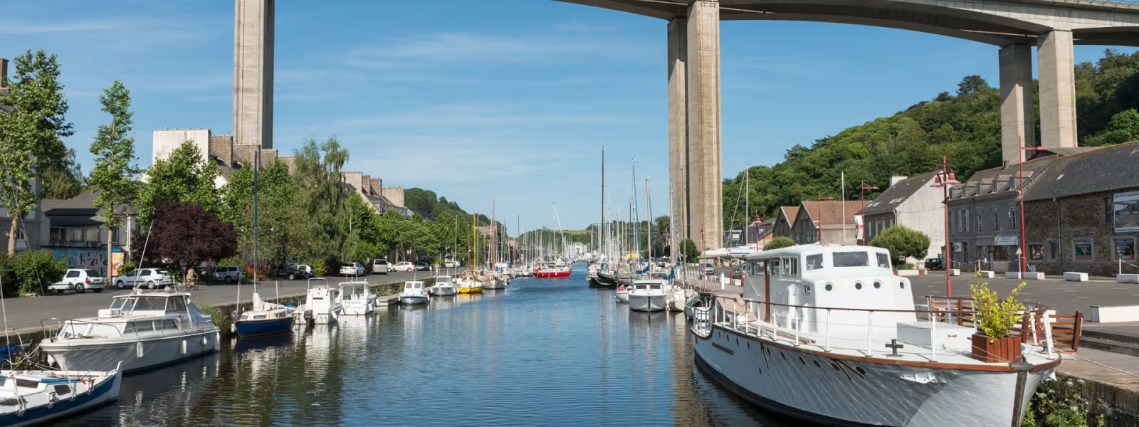
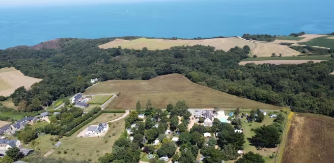
On this, the shortest stage of the Tour de Manche, make for Le Gouët’s estuary. The route sticks to the Bay of Saint-Brieuc’s Nature Reserve. Red brick adds its tinge to the area. Take in the Brick Museum at St-Ilan, Cesson Tower and the view of the bascule bridge.
Gradients and elevation
Ascents: 111m
Descents: 116m
Lowest point: 3m
Highest point: 64m
Slope breakdown
0.51km steep descent (< -5%)
2km gentle descent (-5% to -1%)
5km flat (-1% to 2%)
0.51km climb (2% to 5%)
1km hard climb (5% to 8%)
Road types
1km (13%) of cycle paths
8km (87%) of shared roads
- Cycle path
- Routes reserved for cyclists and pedestrians (greenways, cycle tracks, towpaths), separated from cars for maximum safety.
- Shared road
- Quiet minor roads with little traffic (unless otherwise stated in the stage details). Shared with cars (stay alert).
- Not specified
- Data unavailable or being assessed. Please refer to the detailed stage description.
- Provisional
- Section on a road or cycle path awaiting better-quality facilities (see stage details).
Surface
8km (87%) of smooth surface
1km (13%) of rough surface
- Smooth
- Asphalt, tarmac or smooth concrete. Optimal comfort.
- Rough
- Fine gravel, compacted stabilised surface or worn tarmac. Less comfortable, vibrations possible.
- Natural
- Dirt, grass, roots or stones. Under 5%: short sections with little impact. Higher percentage: route suited to mountain or gravel bikes only.
- Not specified
- Data unavailable or being assessed. Please refer to the detailed stage description.