All stages on Saint-Brieuc to Lorient - Cycle Route 8 in Brittany
Yffiniac / Allineuc
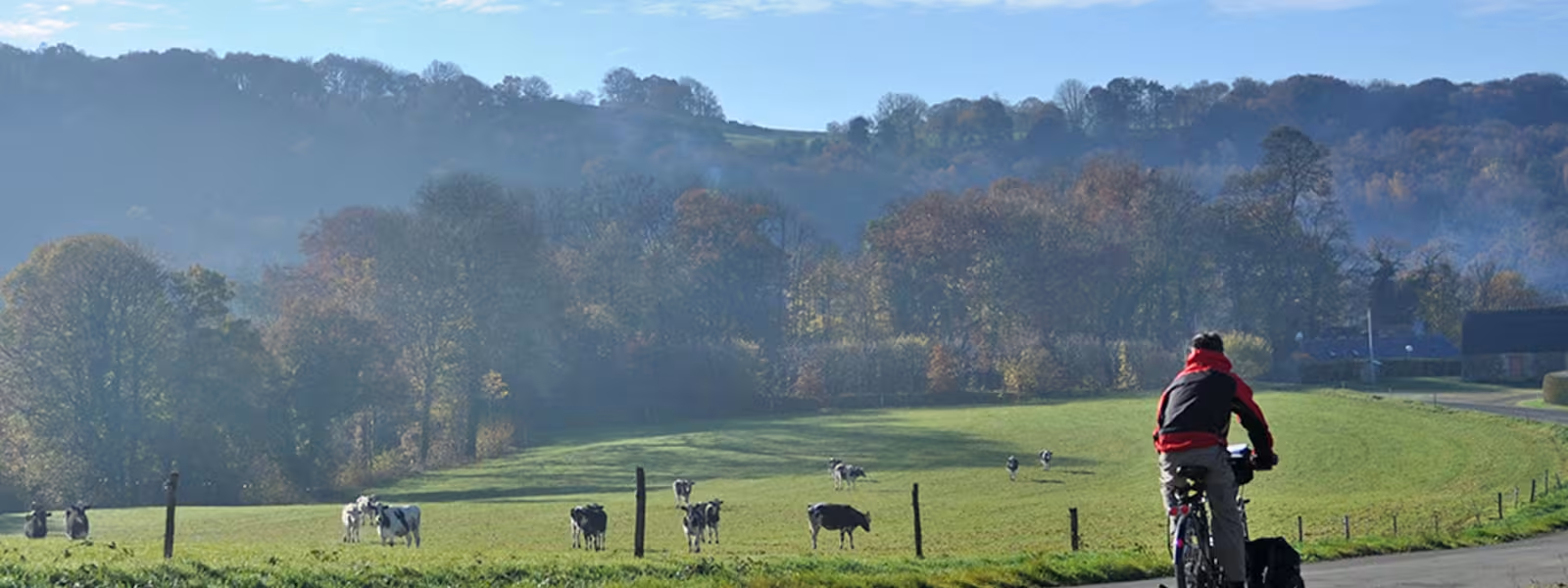
Starting at Yffiniac, at the bottom of the Bay of Saint-Brieuc, strike south into the green countryside of inland Brittany. The route, along small roads, leads to the village of Allineuc and Bosméléac Reservoir, which used to provide the water for the Rigole d’Hilvern Channel, built to supply water to the Canal de Nantes à Brest.
Gradients and elevation
Ascents: 541m
Descents: 386m
Lowest point: 6m
Highest point: 262m
Répartition des pentes
0.84km descente forte (< -5%)
13km descente légère (-5% à -1%)
17km plat (-1% à 2%)
10km montée (2% à 5%)
2km montée difficile (5% à 8%)
Road types
43km (100%) de routes partagées
Surface
43km (100%) de surface lisse