Saint-Brieuc to Lorient - Cycle Route 8 in Brittany
Saint-Caradec / Pontivy
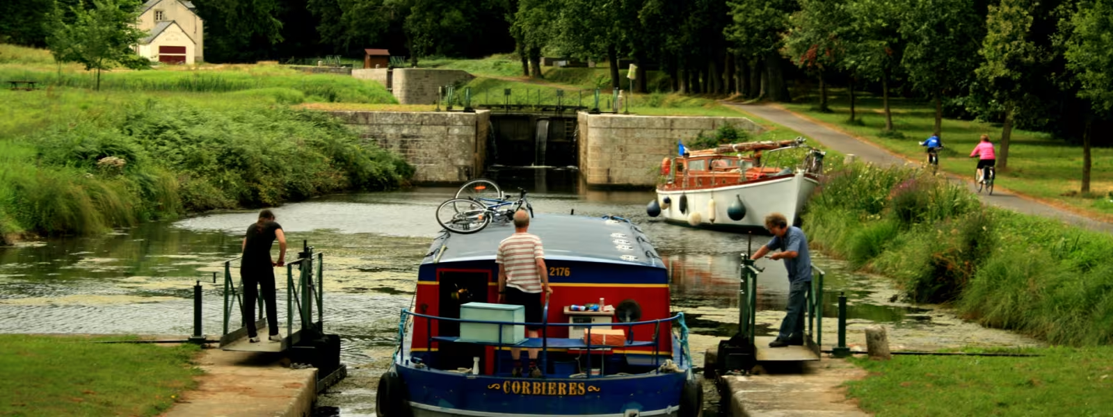
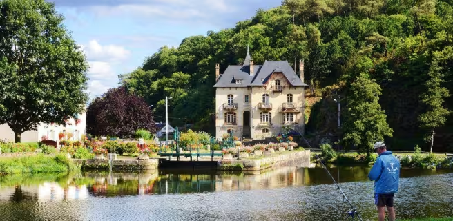
At Saint-Caradec, at the crossroads of Voie 6, the green Hilvern channel imposes its curves through the Breton countryside passing through Hémonstoir and Saint-Gonnery. The forest of Branguily and the Hilvern lock will mark the end of this picturesque and winding cycle route. All that remains for you to do is let yourself be guided by the canal from Nantes to Brest, punctuated by the numerous locks that can be found as far as Pontivy.
Gradients and elevation
Ascents: 196m
Descents: 281m
Lowest point: 59m
Highest point: 160m
Slope breakdown
0.51km steep descent (< -5%)
7km gentle descent (-5% to -1%)
36km flat (-1% to 2%)
3km climb (2% to 5%)
Road types
46km (100%) of cycle paths
- Cycle path
- Routes reserved for cyclists and pedestrians (greenways, cycle tracks, towpaths), separated from cars for maximum safety.
- Shared road
- Quiet minor roads with little traffic (unless otherwise stated in the stage details). Shared with cars (stay alert).
- Not specified
- Data unavailable or being assessed. Please refer to the detailed stage description.
- Provisional
- Section on a road or cycle path awaiting better-quality facilities (see stage details).
Surface
41km (88%) of rough surface
5km (11%) of natural surface
- Smooth
- Asphalt, tarmac or smooth concrete. Optimal comfort.
- Rough
- Fine gravel, compacted stabilised surface or worn tarmac. Less comfortable, vibrations possible.
- Natural
- Dirt, grass, roots or stones. Under 5%: short sections with little impact. Higher percentage: route suited to mountain or gravel bikes only.
- Not specified
- Data unavailable or being assessed. Please refer to the detailed stage description.