All stages on La Vélodyssée, the Atlantic Cycling Route
Mûr-de-Bretagne / Pontivy
La Vélodyssée ® S.Bourcier 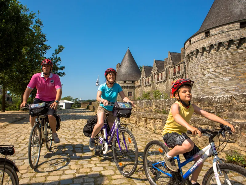
La Vélodyssée ® S.Bourcier 
JP.Gratien 
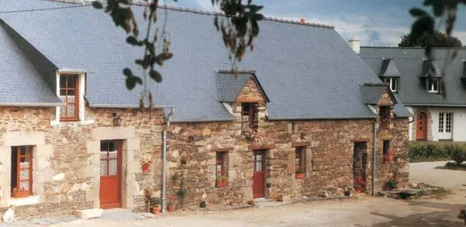
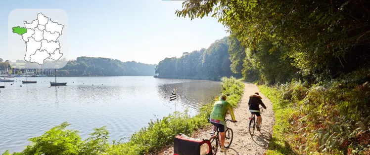
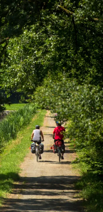
Designated track and very steep descent into the Guerlédan dam towards Pontivy. Here the Blavet is no longer navigable. The steep-sided valley, imposing lock keepers’ buildings and lush vegetation, give this stage of La Vélodyssée an enchanting feel.
Gradients and elevation
Ascents: 53m
Descents: 149m
Lowest point: 52m
Highest point: 160m
Road types
2km (8%) By road
21km (92%) Cycle path
Surface
3km (14%) Smooth
19km (83%) Rough
0.65km (3%) Unpaved
Itinerary
Steep descent to reach the Guerlédan dam in the centre of Mûr-de-Bretagne. After the descent there is a stage with designated track on the towpath as far as the îlot des Récollets.
Connections
On small lanes to St-Aignan and Neuillac.
Not to be missed on this route

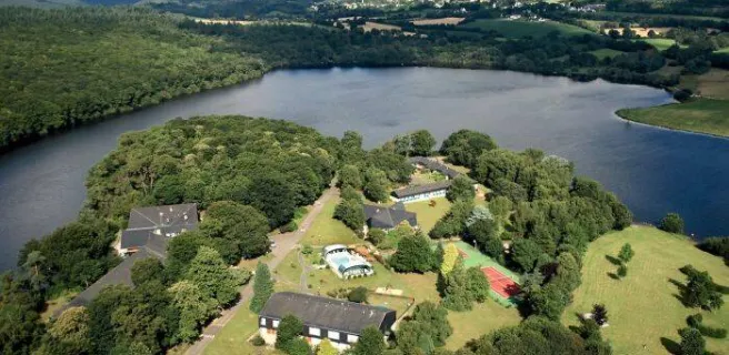
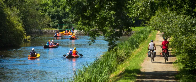
Guerlédan's Lake
Plus grand lac de Bretagne avec une superficie de 400 hectares et 12 km de longueur, le lac de Guerlédan se niche au cœur du massif forestier de Quénécan, entre Mûr-de-Bretagne et l’Abbaye de Bon Repos. Un véritable océan d'eau douce lové dans une vallée encaissée qui donne des allures de petite montagne !