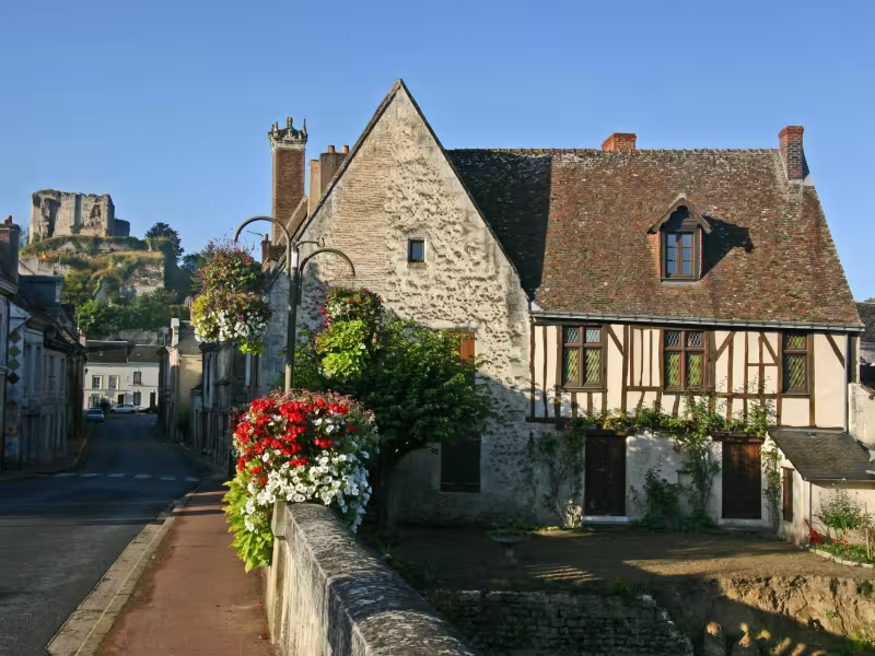
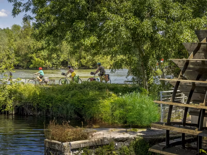
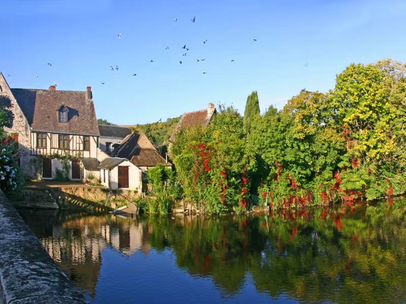
This stage continues to follow the Loir’s meandering curves. Near the start, the nautical centre at Villiers-sur-Loir offers a great opportunity for you to cool off before crossing more of the Vendômois area’s countryside. The town of Montoire-sur-le-Loir boasts a rich medieval heritage, including historic houses right by the water. It makes a good stop on the route.
The route
Signposted “Vallée du Loir V47”, going along small country roads. Take care 4km from your arrival at Montoire-sur-le-Loir; on the final stretches of the stage, along the D917B road, then the D917, as the motorized traffic can be quite dense. This stage shares the way with the Saint-Jacques à Vélo route, hence the double signage.
Gradients and elevation
Ascents: 70m
Descents: 89m
Lowest point: 66m
Highest point: 99m
Slope breakdown
3km gentle descent (-5% to -1%)
21km flat (-1% to 2%)
1km climb (2% to 5%)
Road types
3km (11%) of cycle paths
22km (89%) of shared roads
- Cycle path
- Routes reserved for cyclists and pedestrians (greenways, cycle tracks, towpaths), separated from cars for maximum safety.
- Shared road
- Quiet minor roads with little traffic (unless otherwise stated in the stage details). Shared with cars (stay alert).
- Not specified
- Data unavailable or being assessed. Please refer to the detailed stage description.
- Provisional
- Section on a road or cycle path awaiting better-quality facilities (see stage details).
Surface
23km (92%) of smooth surface
2km (8%) of rough surface
- Smooth
- Asphalt, tarmac or smooth concrete. Optimal comfort.
- Rough
- Fine gravel, compacted stabilised surface or worn tarmac. Less comfortable, vibrations possible.
- Natural
- Dirt, grass, roots or stones. Under 5%: short sections with little impact. Higher percentage: route suited to mountain or gravel bikes only.
- Not specified
- Data unavailable or being assessed. Please refer to the detailed stage description.