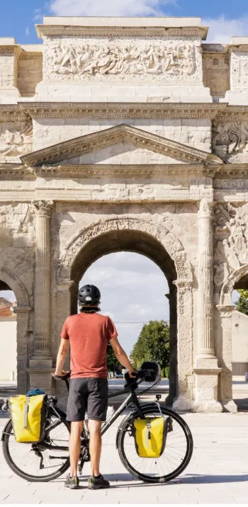
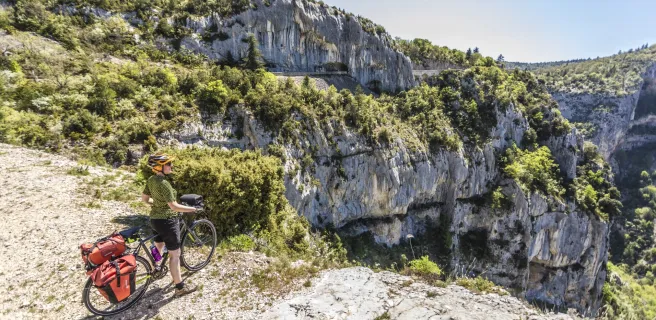
Cycling circuit around the Mont Ventoux
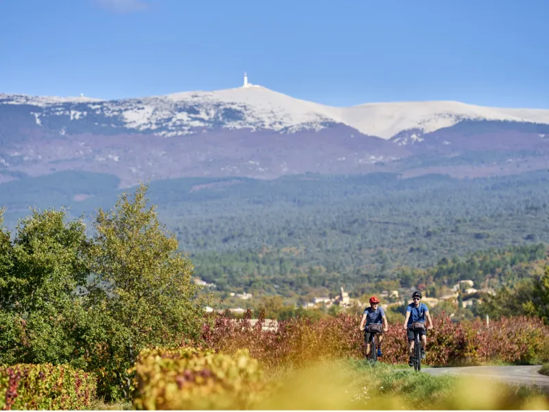
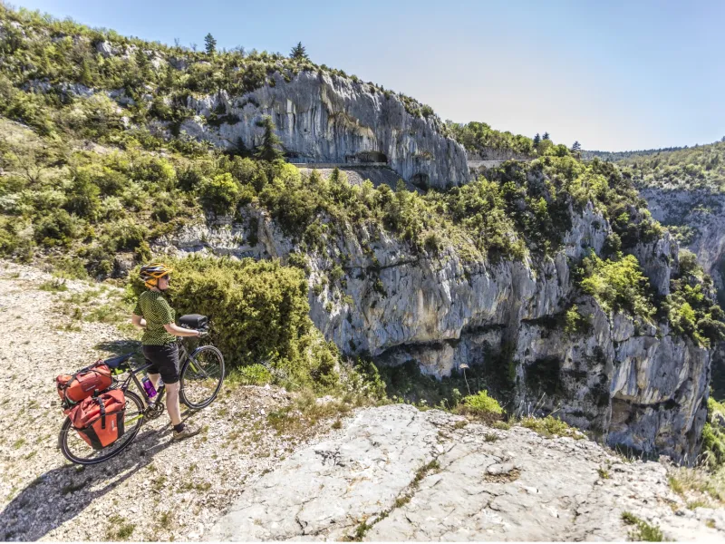
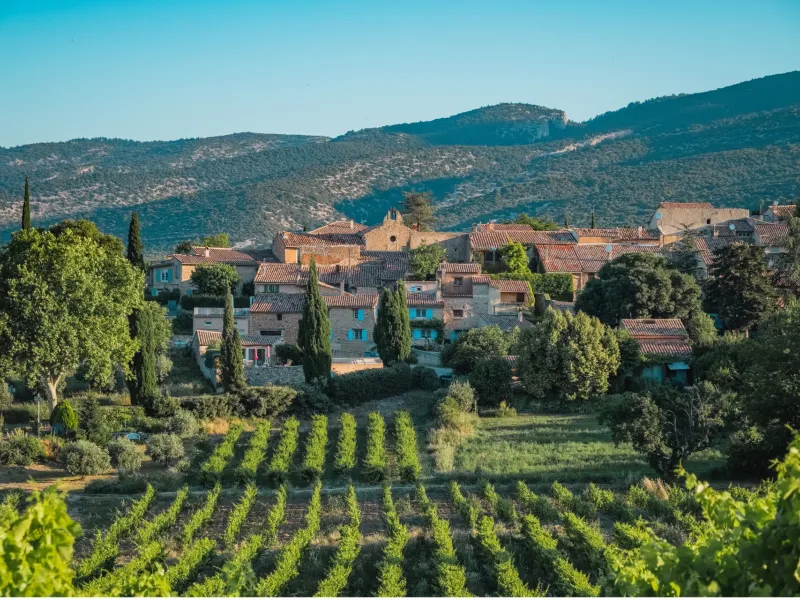
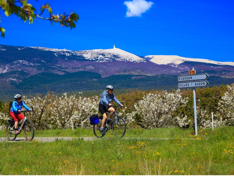
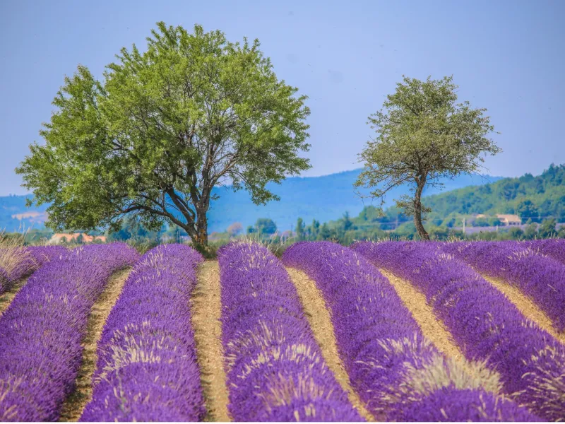
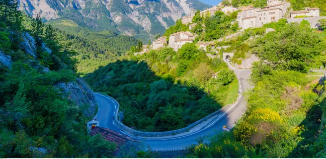
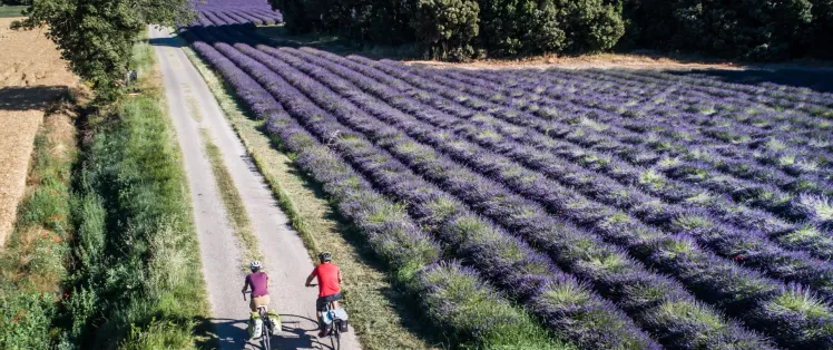
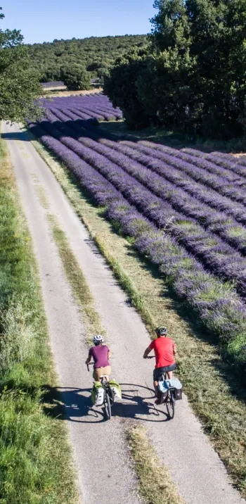
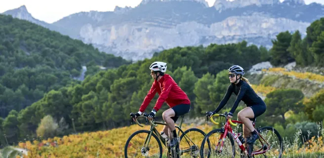
The Tour du Ventoux à Vélo spurs on cyclists to explore an exceptionally charming corner of Provence, riding around the edges of the iconic summit in whose honour the route is named. Also nicknamed the Mont Chauve (Bald Mountain), the Mont Ventoux can be cycled all the way around in just a few days. You go along winding roads providing a dizzying array of views over the most beautiful landscapes, featuring perched villages, lavender fields, cliffs and renowned vineyards. Each stage provides unique sights, not just stunning views of the Mont Ventoux, but also views of either the impressive spiky rocks of the Dentelles de Montmirail, the spectacular Nesque Gorges or the wild Toulourenc Valley. After circling the Giant of Provence, will you be able to resist the pull of the unforgettable ride to its summit?
Signposting and layout of the Tour du Ventoux à Vélo
The Tour du Ventoux à Vélo cycle route is only signposted anticlockwise (with simple directional arrows).

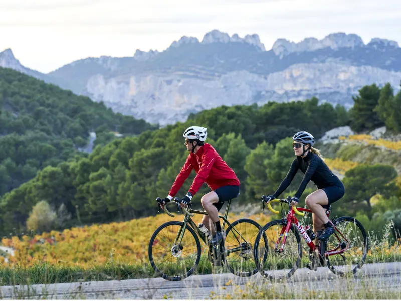
Climb Mont Ventoux by bike
The view from the summit of the Ventoux may invite you to climb it during this loop: several starting points for climbing it are directly accessible from the route!
- from Bédoin: the most mythical route - a classic of the Tour de France - but also the most athletic with steep and relentless sections!
- distance: 21.8 km | positive difference in altitude: 1622 metres | average gradient: 7.15
- from Malaucène: a climb from the west, also physical and intense but less frequented than from Bédoin. distance: 21.2 km | positive
- difference in altitude: 1535 metres | average gradient: 7.24
- from Sault: the most accessible of the three climbs, with a less strenuous start for the first few kilometres and a final section from Chalet Reynard that intensifies until the summit.
- distance: 25,7 km | positive difference in altitude: 1152 metres | average gradient: 4,5
Gradients and elevation
Road types
Surface
Trains and transport on the route
Access by train:
- The nearest station to the starting point (Bédoin) is Carpentras station (located 10 km by bike from Bédoin).
- Trans'Cove bus network – see link
Reviews for Cycling circuit around the Mont Ventoux
"Accueil Vélo" accommodation on Cycling circuit around the Mont Ventoux
82 Accueil Vélo accommodations await you on Cycling circuit around the Mont Ventoux!
View accommodations on the map
Séjours clés en main
Partez l'esprit léger sur ce parcours avec les séjours organisés de nos agences partenaires.
See also

Via Venaissia

Around the Luberon by bike
The 3 stages of Cycling circuit around the Mont Ventoux
1 Vaison-la-Romaine / Bédoin
2 Bédoin / Sault