6 stages · 237 km

Gradients and elevation

Ascents: 1380m
Descents: 1538m
Lowest point: 11m
Highest point: 444m

Road types

89km (38%) By road
16km (7%) Unknown
132km (56%) Cycle path
62km (26%) Provisional itinerary

Surface

62km (164%) Unknown
14km (36%) Rough

6 stages used

Seuil de Naurouze / Revel

1 Seuil de Naurouze / Revel

38 km
2 h 22 min
I begin
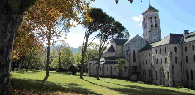
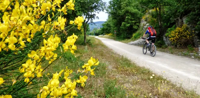
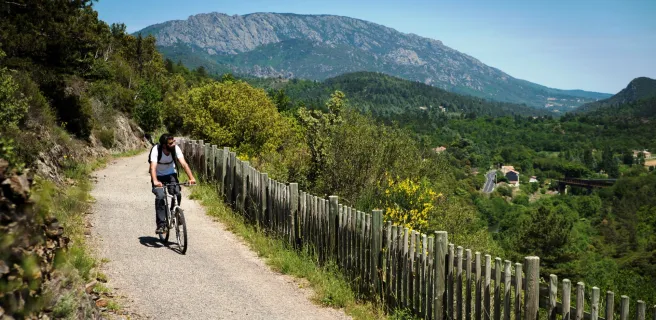
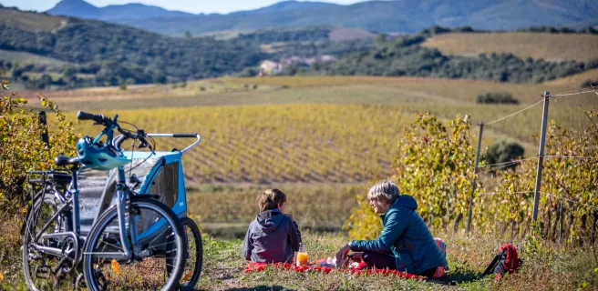
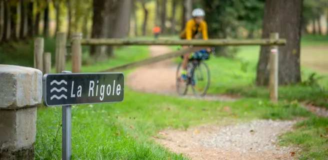
Follow in the footsteps of great 17th-century French engineer Pierre-Paul Riquet, who designed the Canal du Midi, and travel back in time to the canal’s beginnings as you ride along this stage! Discover the countless extraordinary hydraulic works built during Riquet’s lifetime to channel waters coming down off the mighty Montagne Noire to bring to life the Canal du Midi. Witness Riquet’s scientific rigour and invention, admiring the scale of the project and the skills of the workers involved. Across 50km, an extraordinary story of engineering prowess unfolds. Shade was even planned, rows of splendid canal-side plane trees thoughtfully planted for the benefit of future generations! Enjoy a pause to cool off beside the reservoirs dotted along the Rigole de la Plaine (a channel specially created to feed the Canal du Midi with water), taking in splendid views over the patchwork of fields and the perched villages of the Lauragais area. Savour all these little delights along this historic watery route.
Revel / Castres

2 Revel / Castres

32 km
1 h 55 min
I cycle often
Ride across the Lauragais’s plains from Revel to Castres, through an area recognized for its arts heritage and nicknamed the Pays de Cocagne (Land of Milk and Honey in French, the term also referring specifically to the lucrative cocagne shells of woad produced here and used in once highly-prized pastel blue dyeing). The fields are covered in sunflowers, wheat and poppies in early summer. You’re crossing the cereal-growing part of La Véloccitanie. Its mosaic of colours is reflected in Dom Robert’s tapestries at the abbey-school in Sorèze, in the painted galleries around the medieval covered market in the bastide town of Revel (hosting one of France’s finest markets) and in the colourful facades at Castres, a town nicknamed the Little Venice of the Haut-Languedoc. This last also boasts fine arts in its Musée Goya. The Montagne Noire, a major mountain on the horizon, its waters feeding the Canal du Midi, acts as a guiding presence as you ride along undulating little country roads peppered with villages. Enjoy the odd stop to rest and admire the landscapes and taste local dishes. Savour these moments and the colourful delights provided by this stage’s mix of agriculture and culture.
Castres / Mazamet

3 Castres / Mazamet

22 km
1 h 22 min
I cycle often
With the Montagne Noire as backdrop, ride from Castres to Mazamet alongside rivers and crossing a typical, rocky weathered limestone plain, or causse, spotting through the foliage along the way some sumptuous typical regional buildings. These read like so many pages in the area’s book of history. The towns around here made the most of natural features to develop, exploiting water for wool, leather, textiles and dyeing, the wide-open fields for agriculture, the forests for raw materials and the steep mountain sides for refuge. Leaving Castres, a first surprising site awaits you, in the form of the Causse de Caucalières et Labruguière, a semi-deserted limestone plateau. With its unusual geology and striking natural environment, this area is home to certain rare bat and insect species in desperate need of preservation. Looking up to the skies, you may spot a short-toed eagle looking for lunch… in the form of a snake, its favourite food!
Mazamet / Saint-Pons-de-Thomières

4 Mazamet / Saint-Pons-de-Thomières

37 km
2 h 24 min
I begin
4.3 / 5
Your PassaPaïs cycling adventure begins at Mazamet, a town tucked under the mighty Montagne Noire. Before setting off, take a walk out onto the spectacular passerelle (pedestrian bridge) over the Arnette Valley, affording fine views of the perched medieval village of Hautpoul nearby.

Continue peacefully through the heart of the Thoré Valley, along a stretch of greenway marked by steep meadows, delightful villages and prominent mountains. Thanks to the tunnel under the Col de la Fenille Pass, you shift from Tarn landscapes, with their southwestern French feel marked by the Atlantic’s influence, to Hérault landscapes characteristic of Mediterranean lands.

Towards the end of the stage, in order to appreciate the geological riches of the area, consider exploring the Grotte de la Fileuse de Verre before arriving at Saint-Pons-de-Thomières.
Saint-Pons-de-Thomières / Bédarieux

5 Saint-Pons-de-Thomières / Bédarieux

40 km
2 h 41 min
I begin
This second stage of the PassaPaïs cycle route follows the trail of the Jaur River and then the Orb. The Monts du Somail and Massif du Caroux mountains dominate all along the way.
Olargues, a member of the association of Les Plus Beaux Villages de France, rising on its rocky promontory, provides a remarkable stop. Then, from the iron bridge nicknamed the Pont Eiffel, take in the wild valley with its steep bracken moors and array of boulders.
For the most adventurous among you, tackle the detour via the Gorges d’Héric, with a village perched on high and enchanting natural pools to enjoy, along with the splendid views.
After meandering along via many bridges and tunnels, you’ll appreciate the gentle end to this stage, arriving at Bédarieux riding along on the banks of the Orb River.
Bédarieux / Béziers

6 Bédarieux / Béziers

68 km
2 h 54 min
I cycle often
Bédarieux marks the end of the PassaPaïs Greenway. Mountainous landscapes give way to the gentler landscapes of the Avant-Monts area, vines stretching out as far as the eye can see. You may spot the sea on the horizon, a distant promise. For now, you’re entering a land rich in traditions and skills passed down the generations, while its vineyards are highly regarded today. The enchanting landscapes reflect the ingenious work carried out by farmers down the centuries, especially in the construction of dry-stone walls and capitelles (stone huts). Much older traces of civilization await a bit further on, of an ancient village inhabited first by the local Elisych tribe, then by Gauls, the oppidum of Ensérune, a pre-Roman hilltop settlement, and a star-shaped, now dried-out lake, the Etang de Montady. Moving on to the 17th century and the great engineer Pierre-Paul Riquet, his genius can be seen in the Tunnel du Malpas, dug under a hill to enable the Canal du Midi to pass through these parts, and in the monumental nine locks at Fonseranes beside Béziers. Final stop Béziers, to discover splendid bourgeois buildings reflecting flourishing commercial times and the splendid St Nazaire Cathedral, as well as following the city’s famed camel signs, indicating an historic trail and recalling the legend of a saint from Egypt, brought here thanks to the aid of his faithful animal to convert the people to Christianity.
Afficher les étapes