The gulf of Morbihan by bike
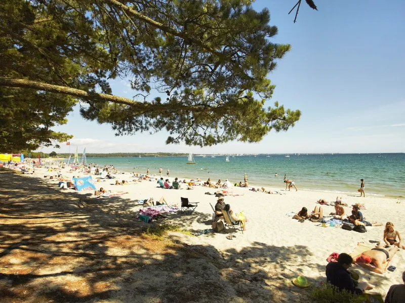
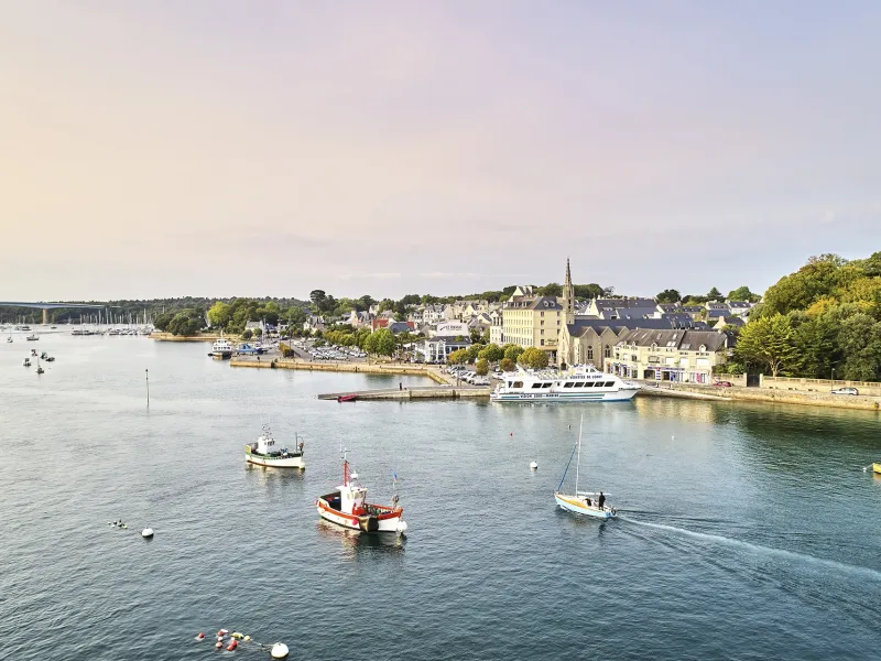
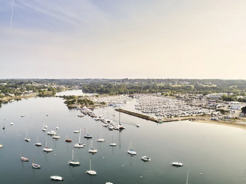
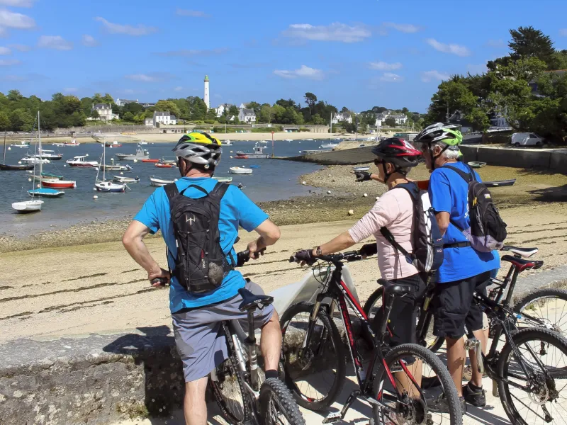
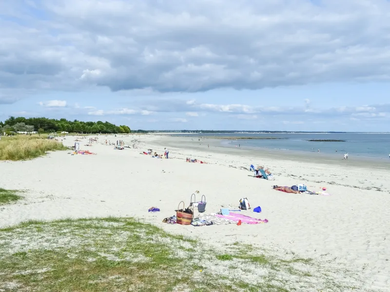
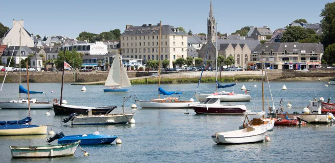
Heading out from the town of Vannes, east round to Port-Navalo, make the most of the exceptional protected maritime atmosphere of the Gulf du Morbihan. On the gulf’s south side, the Presqu’île de Rhuys is a wide peninsula crisscrossed by cycle paths, allowing you to admire the many creeks and islands of the gulf, a wildly indented, beautiful inland sea, its aspect changing greatly with the tides and the seasons.
The route
From Vannes east to Theix, the route is provisional. The way is then signposted from Theix to Port-Navalo.
After Noyalo, follow the greenway signposted V5 as it runs alongside the D 780 road up to Saint-Armel. Then take the signposted small roads up to Saint-Colombier.
Between Saint-Colombier and Sarzeau, the route is along tracks. At Sarzeau, you come to another stretch of laid-out cycle track to reach the town centre. Then continue along small roads with only light traffic up to Kerpont Lake, from where the route is along a greenway up to Arzon and Port-Navalo.
Alternative routes
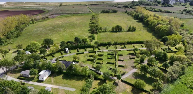
At Saint-Colombier, you can opt to follow the Marais de Duer (a marsh), then head on to Kerhouët (via a track).
The Presqu’île de Rhuys cycling network offers many alternative routes and links:
- From Saint-Armel to Le Tour-de-Parc
- From Sarzeau to the Pointe de Saint-Jacques Headland
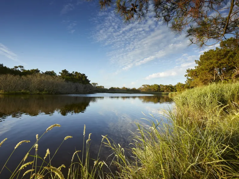
- From L‘Etang de Kerpont (a lake), a greenway leads on to the town of Saint-Gildas-de-Rhuys, on the south side of the Rhuys Peninsula.
For further information on the Presqu’île de Rhuys cycle network.
Gradients and elevation
Road types
Surface
.