Saint-Brieuc to Lorient - Cycle Route 8 in Brittany
Allineuc / St-Caradec
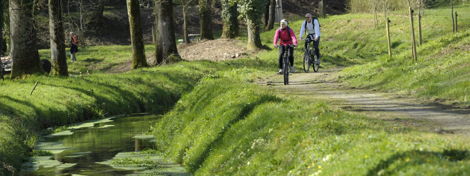
The Rigole d’Hilvern Channel was originally built to supply the Canal de Nantes à Brest with water. Today the path beside it has been turned into a lovely greenway. From Bosméléac Reservoir, a peaceful track lined by tall beech trees and chestnut trees meanders through the countryside, past Saint-Thélo and Le Quillio, historic villages that reflect the rich industrial past of the area, where fine linen cloth was manufactured.
Gradients and elevation
Ascents: 149m
Descents: 165m
Lowest point: 139m
Highest point: 168m
Slope breakdown
4km gentle descent (-5% to -1%)
25km flat (-1% to 2%)
0.51km climb (2% to 5%)
Road types
30km (100%) of cycle paths
- Cycle path
- Routes reserved for cyclists and pedestrians (greenways, cycle tracks, towpaths), separated from cars for maximum safety.
- Shared road
- Quiet minor roads with little traffic (unless otherwise stated in the stage details). Shared with cars (stay alert).
- Not specified
- Data unavailable or being assessed. Please refer to the detailed stage description.
- Provisional
- Section on a road or cycle path awaiting better-quality facilities (see stage details).
Surface
30km (100%) of rough surface
- Smooth
- Asphalt, tarmac or smooth concrete. Optimal comfort.
- Rough
- Fine gravel, compacted stabilised surface or worn tarmac. Less comfortable, vibrations possible.
- Natural
- Dirt, grass, roots or stones. Under 5%: short sections with little impact. Higher percentage: route suited to mountain or gravel bikes only.
- Not specified
- Data unavailable or being assessed. Please refer to the detailed stage description.