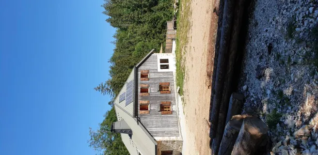
Pontarlier / Mouthe
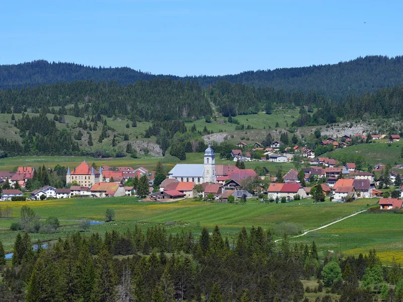
Leaving Pontarlier, the Fort de Joux, perched high on its rocky outcrop, looks down on your progress for several kilometres. Then the scene changes, providing amazing views over Saint Point Lake. This is a stage of the GTJ à Vélo offering landscapes that are as varied as they are beautiful. Continue to the foot of Mont d'Or, culminating at 1,463m. It is possible to follow an alternative route up towards its summit; you have to leave your bike to tackle the final few kilometres on foot, taking in exceptionally grand views across to the Alps.
Grande Traversée du Jura by bike from Pontarlier to Mouthe
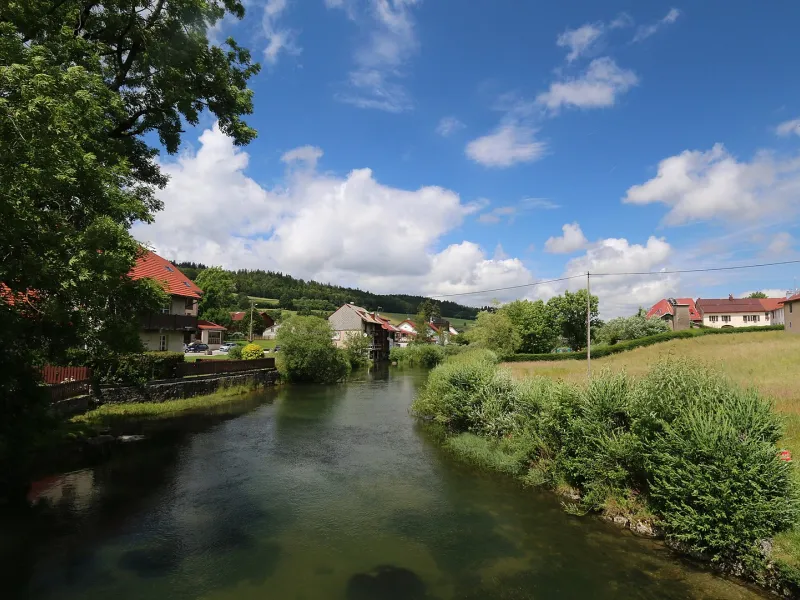
You ride through Pontarlier along cycle lanes, in large part. The way out of town is for the most part also on cycle lanes, but do take care, as this stretch has a lot of traffic. Stay vigilant up to Remoray, the route continuing along roads through an area with many tourist attractions. Along over half of this stage, there are no slopes, but from Remoray, the way is more undulating.
There’s a Bosch electric bike charging station cyclists can easily access at Mouthe Tourist Office.
Gradients and elevation
Road types
Surface
Don’t miss
- Pontarlier: Porte Saint Pierre, a fine gate; Musée d'Art, for fine arts; Distillerie d'Absinthe, on the famed liqueur traditionally made here.
- Château de Joux: a magnificent piece of architecture
- Lac Saint Point: one of France’s largest natural lakes
- Mouthe: the source of the Doubs River