All types of routes

La Grande Traversée du Volcan à vélo

Official route
B. Muller - Auvergne Rhône Alpes Tourisme
De la vallée du Lot au Puy Mary par la vallée de l'Alagnon
J. Damase
A vélo au col du Pas de Peyrol et Puy Mary
Lac sur le Cézallier - Grande Traversée du Volcan à vélo
Grande Traversée du Volcan à vélo dans le Cézallier
Vers le col de Serre à vélo
La Véloroute de la Grande Traversée du Volcan à vélo entre Blesle et Allanche
Vue sur les monts du Cantal
One way
165 km
Short trip
I cycle a lot
Port d'Agrès
Brassac-les-Mines
Mountains

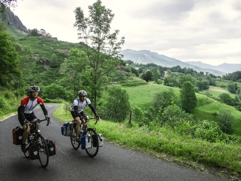
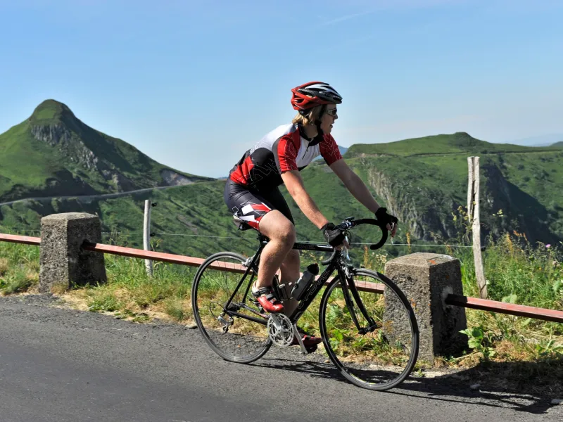
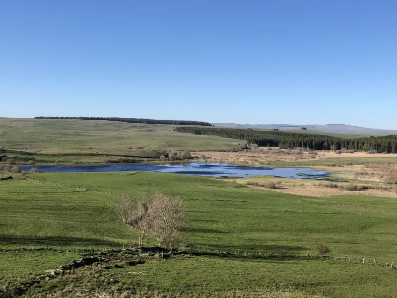
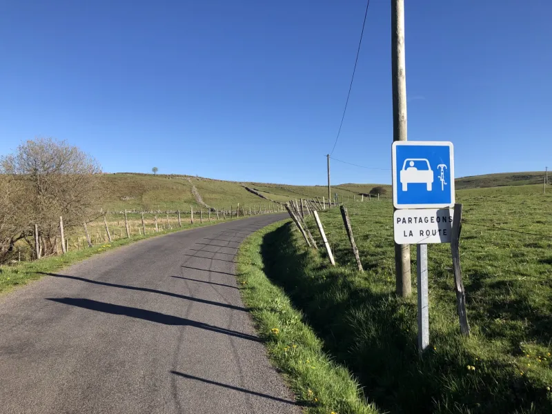
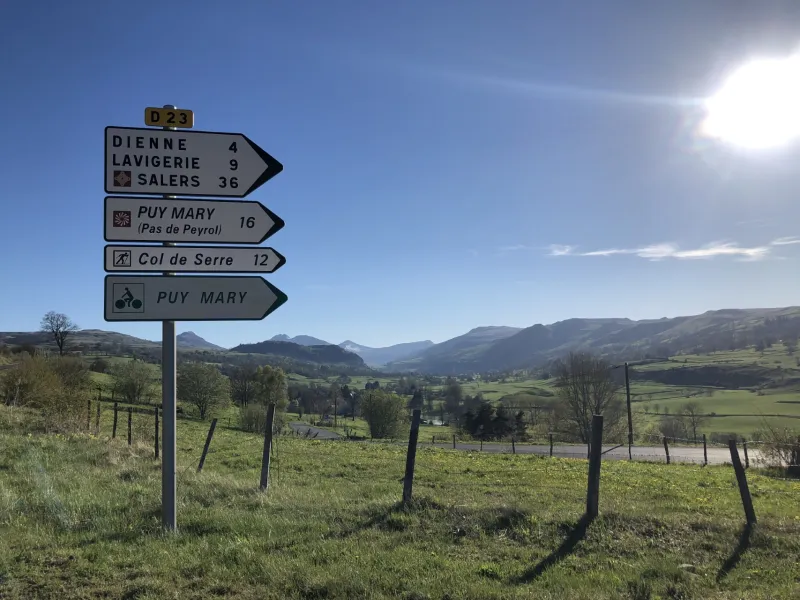
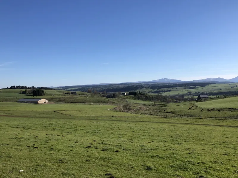
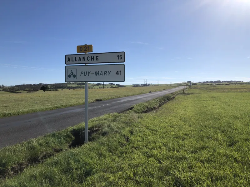
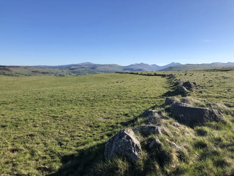
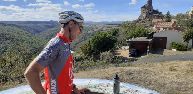
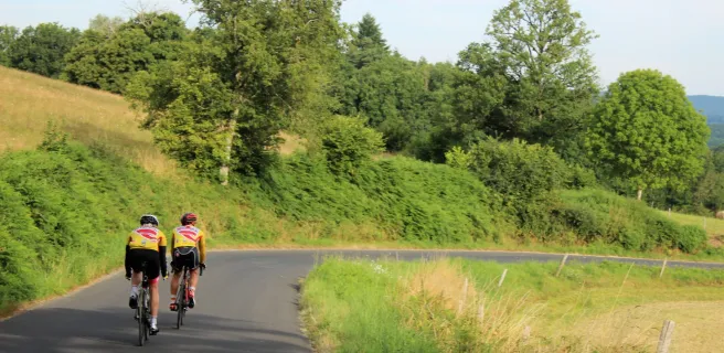
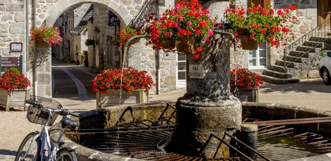
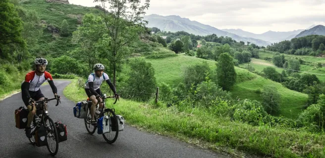
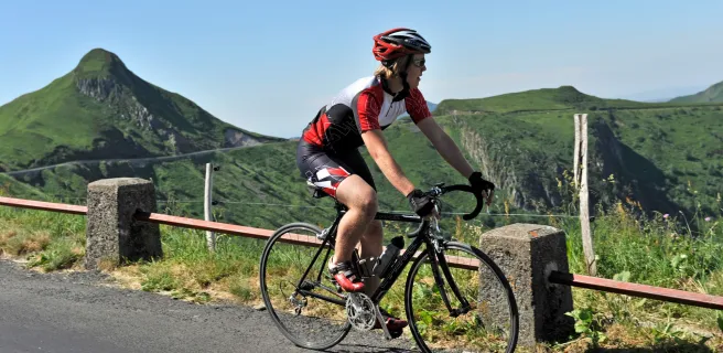
La Grande Traversée du Volcan à Vélo leads you on a splendid cycling trip through the heart of the Cantal Mountains, crossing the oldest, largest volcano in Europe, going from Lot to Allier Valleys. This demanding route takes you along roads, winding through gorges, around old volcanoes and across high plateaux. The towns and villages of Maurs, Aurillac, Mandailles and Allanche make for fine stops to stock up on local specialities and to meet the locals. The route’s highlight is the ride up to the Pas de Peyrol, a pass at the foot of the soaring volcanic summit of Puy Mary, the greatest reward on this adventure, to tackle on a long weekend or short break.

The Route

We present here the last stage of the Cycle Route which arrives in Burgundy and marks the confluence of the canal and the Saône.

Signposting and the state of the route 

The Véloroute du Canal entre Champagne et Bourgogne is fully open in both directions. It is signposted all the way along, with dedicated signage. The surface is rough and rustic south of the town of St-Dizier, between locks (écluses in French) No.50 and No.46, as well as on certain stretches between Percey-le-Grand and Pouilly-sur-Vingeanne.

Most of the cycle route follows the canal’s towpath, with just a few short stretches on roads shared with motorized vehicles, notably around the town of Langres.

Connections to further cycle routes

Gradients and elevation

Ascents: 2413m
Descents: 2074m
Lowest point: 187m
Highest point: 1590m

Road types

184km (98%) By road
3km (2%) Cycle path

Surface

182km (97%) Smooth
4km (2%) Unknown

Trains et transport sur La Grande Traversée du Volcan à vélo

Access by train:

  • The nearest station to the start (Port d'Agrès): Viviez station (20 km by bike from Port d'Agrès)
  • From the finish (Brassac-les-Mines): Brassac-les-Mines station

"Accueil Vélo" accommodation on La Grande Traversée du Volcan à vélo

47 Accueil Vélo accommodations await you on La Grande Traversée du Volcan à vélo!

The 6 stages of La Grande Traversée du Volcan à vélo

Port d'Agrès / Maurs

1 Port d'Agrès / Maurs

16 km
1 h 06 min
I cycle often
The adventure across the Cantal’s great volcano actually begins in the county (département) of Aveyron, and by the Lot River, at Port d'Agrès, with its medieval roots. The mariners from here used to trade with Bordeaux, their produce shipped down the Lot on traditional river boats known as gabarres. The Grande Traversée du Volcan à Vélo cycle route rises quickly above the river, leading to Maurs la Jolie. Set midway between the gentle Lot Valley and the Cantal Volcano, this fine village, designated a Petite Cité de Caractère, has such a mild climate that comparisons are modestly made with that of the French Riviera!
Maurs / Aurillac

2 Maurs / Aurillac

46 km
3 h 04 min
I cycle a lot
La Grande Traversée du Volcan à Vélo between Maurs and Aurillac wends its way through the Rance Gorges and the heart of La Châtaigneraie, a wide, forested area with many a tale to tell. Detours to Vitrac and Marcolès are tempting, for the architecture and delicious gastronomy. You then arrive at Aurillac, a town where the countryside is always close by. Known in history as the place where Gerbert trained before being elected Pope Sylvester II at the end of the first millennium AD, today it’s known for its international festival of street theatre.
Aurillac / Mandailles-Saint-Julien

3 Aurillac / Mandailles-Saint-Julien

26 km
1 h 44 min
I cycle a lot
Here it comes! The largest volcano in Europe lies ahead of you. Cycle along the marvellous Jordanne Valley, originally sculpted by fire and ice, now so green, especially in spring. You emerge from the bottom of this valley, a tough climb by road taking you to the foot of a series of volcanic ‘puys’, or cones: Chavaroche, Griou and Peyre Arse. Your senses awaken here. Even if the Cantal Volcano has been dormant for millions of years, it could theoretically begin to rumble at any moment…
Mandailles-Saint-Julien / Allanche

4 Mandailles-Saint-Julien / Allanche

43 km
2 h 53 min
I cycle a lot
This Grande Traversée du Volcan à Vélo stage plunges you into the extensive Parc Naturel Régional des Volcans d’Auvergne. There are new challenges here, notably the climb by bike to the Pas de Peyrol, the pass marking the highest point on the route, at 1,588m. This highlight is added to by visiting the summit of Puy Mary, designated a Grand Site de France for its grandeur. Dismount at its foot for a well-earned rest, then climb by foot to the summit to take in the most spectacular of views, as far as the eye can see. From on high, you can appreciate, sometimes without crowds, the full extent of Europe’s largest strato-volcano. See how the glacial Jordanne, Impradine, Santoire, Cheylade and Le Falgoux Valleys radiate out from here like the spokes of a wheel.
Allanche / Blesle

5 Allanche / Blesle

27 km
2 h 09 min
I cycle often
From Allanche, La Grande Traversée du Volcan à Vélo cycle route takes you climbing to the Col du Baladour pass, then across the major Plateau du Cézallier. After a fine descent, you arrive at Massiac, bathing in an almost Mediterranean climate. The route continues across a plain, sometimes following the Alagnon River, to reach Blesle, a member of the association Les Plus Beaux Villages de France. This place marks the border between the counties of Cantal and Haute-Loire, and the end of your adventure on the GT2V cycle route!
Massiac / Sainte-Florine

6 Massiac / Sainte-Florine

28 km
1 h 50 min
I cycle often
The Grande Traversée du Volcan à Vélo leads you through a series of hills demarcating Les Pays Coupés area. Entering the département (French county) of Haute-Loire, you pass close to splendid villages, such as Blesle, a member of the association Les Plus Beaux Villages de France, and Léotoing overseen by its medieval castle. After Lempdes-sur-Allagnon, you arrive in the flatter plain, the way leading you to Sainte-Florine. Neighbouring Brassac-les-Mines is a town just across the border in the département of Puy-de-Dôme, its name reflecting the mining history in this area. Brassac stands at the junction with the Via Allier (V70) cycle route, which can offer further inspiration to cyclists in search of majestic natural spaces to explore by bike!
Details