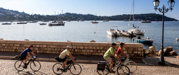
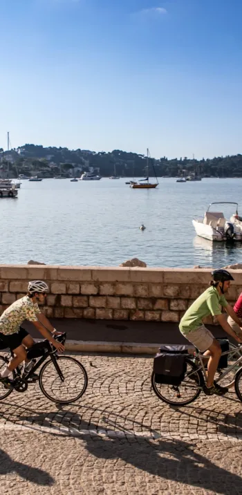
Véloroute littorale
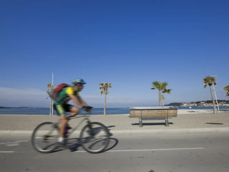
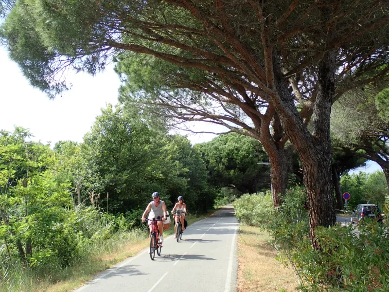
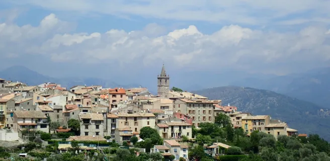
Cast aside the old clichés! It’s now getting much easier to cycle along the great curve of France’s Mediterranean coast! A 460km route is gradually developing, going via the Camargue, the Côte Bleue, the Côte Varoise, the Préalpes d’Azur and the Côte d’Azur; still in its infancy, this route runs hand in hand with its older sibling, the Méditerranée à Vélo, at several points. In the longer term, the intention is to link Aigues-Mortes (in the French département, or county, of the Gard) to Nice, tackling three major French metropolitan areas along the way: Aix-Marseille-Provence; Toulon-Provence-Méditerranée; and Nice-Côte d’Azur. The aim is also to get riders to explore the natural diversity of the areas behind the coast. To help you explore part of this marvel still taking shape, consider the beautiful stretch between Sanary-sur-Mer and Nice, going by the name of the Parcours Cyclable du Littoral Varois in the département of the Var, and the Route des Balcons d’Azur in the département of Alpes-Maritimes. For riders up for a touring trip combining these two sections of 260km, note that the way is at present only suitable for adventurous or even hardened cyclists.
Suitable seasons
For 3 major reasons, it is preferable:
- to tackle this cycle route at the start or end of the summer, to avoid the hottest periods;
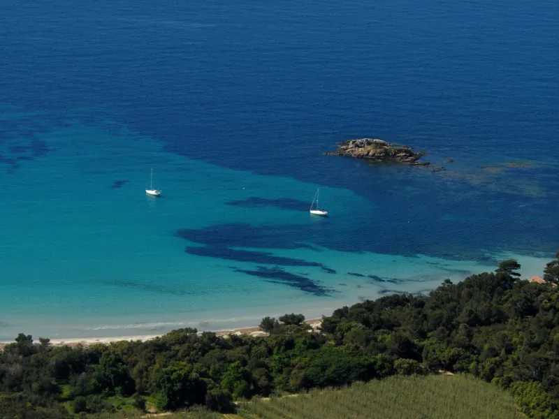
- to tackle this cycle route outside of the main summer holiday period, as the portion through the Var leads you along or very close to coastal stretches that will be at their very busiest then;
- to avoid, during drought periods and when there is a lot of wind (notably the mistral), the Fréjus < > Montauroux section that makes use of DFCI (Défense des Forêts Contre l'Incendie) paths (there to protect against forest fires) through the Massif de l'Esterel, as such DFCI paths may at times of challenging weather be forbidden to all types of traffic / circulation.
All that said, this cycle route can, except on rare occasions, be used throughout the year. It largely helps cyclists avoid the crowds right beside the coast in summer, while in winter, the route should prove relatively quiet.
Sections of the cycle route still being laid out
In the Var, between Sanary-sur-Mer and Toulon, and between Rayol-Canadel-sur-Mer and Montauroux, at time of writing, certain portions of the cycle route are still in the process of being laid out. There are also stretches being laid out on the section Fréjus < > Montauroux that lead cyclists along specialist paths, notably anti-fire DFCI (Défense des Forêts Contre l'Incendie) tracks;
In the Alpes-Maritimes, between Montauroux and Le Tignet, there is no signposting in place at time of writing, while between Le Broc and St-Laurent-du-Var, the lay-out is in the process of being set up or is still in the planning.
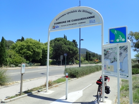
Signposting along the cycle route
In the Var, from Sanary-sur-Mer to Le Rayol-Canadel-sur-Mer, the section of cycle route goes by the name Parcours Cyclable du Littoral Varois,
=> To cycle along easily on this section, which still has portions in need of completion at time of writing, it is useful to travel with specific maps (available from tourist offices and organizations) or to download the relevant .PDF files onto your smartphone :
- the cycling map, Plan Vélo de la Métropole Toulon Provence Méditerranée
- Le Parcours Cyclable du Littoral (PCL) (2015 version) published by the département du Var
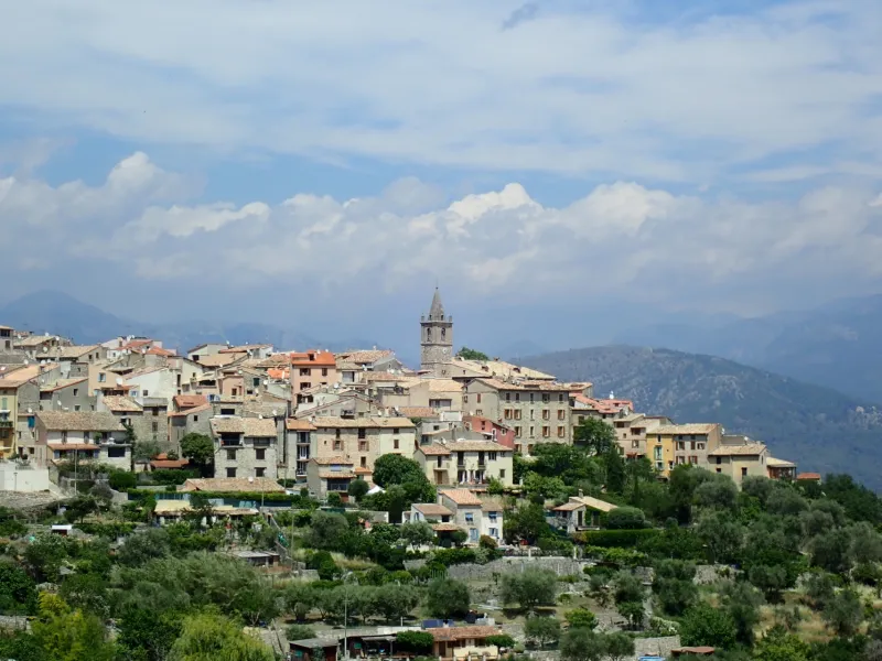
In the département of Alpes-Maritimes, from Le Tignet, going towards Châteauneuf and as far as Le Broc, the cycle route is signposted Route des Balcons d’Azur.
- Carte touristique de la Route des Balcons d’Azur, a map you can download in .PDF format
- Digital map Route des Balcons d’Azur
Waiting for a standardisation of this cycle route in the making, two types of signs coexist :
Signposting in Var (83) Signposting in Alpes-Maritimes (06)
 |  |
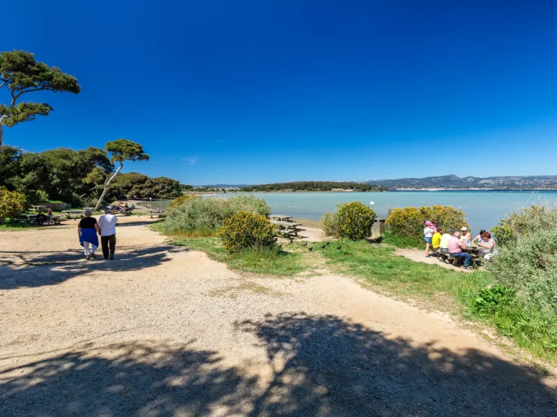
Sections suitable for cycling as a family
- In the Var, between Toulon and L’Almanarre;
- In the Alpes-Maritimes, between St-Laurent du Var and Nice, on the section shared with the Méditerranée à Vélo (la Littorale) and along the Var River
Gradients and elevation
Road types
Surface
Trains and transport on the route
Coming by train
- Regional TER train services Marseille < > Nice with free spaces for bikes
- Night Intercités services Paris (Austerlitz) < > Nice with spaces for bikes that you need to reserve in advance (€10 per bike at time of writing)
- High-speed TGV services Paris < > Toulon, but bikes can only be transported if packed in suitable covers
Coming by coach
- LER Marseille < > Nice, a small number of bikes are tolerated in the baggage hold, but spaces are limited. Or then pack your bike in a cover for it to be treated as ordinary baggage.
View infrastructure on the map
Reviews for Véloroute littorale
"Accueil Vélo" accommodation on Véloroute littorale
135 Accueil Vélo accommodations await you on Véloroute littorale!
View accommodations on the map
Séjours clés en main
Partez l'esprit léger sur ce parcours avec les séjours organisés de nos agences partenaires.

See also

Mediterranean Cycle Route
The 6 stages of Véloroute littorale
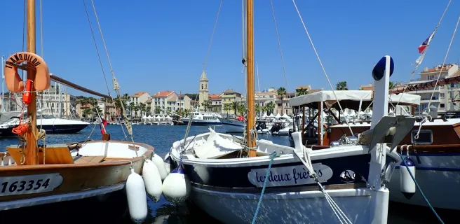
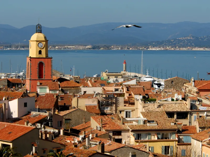
1 Sanary-sur-Mer / Hyères
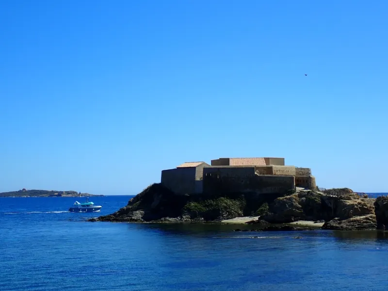
2 Hyères / Grimaud
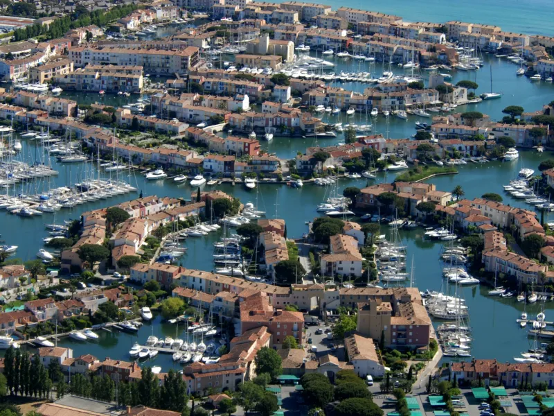
3 Grimaud / Fréjus
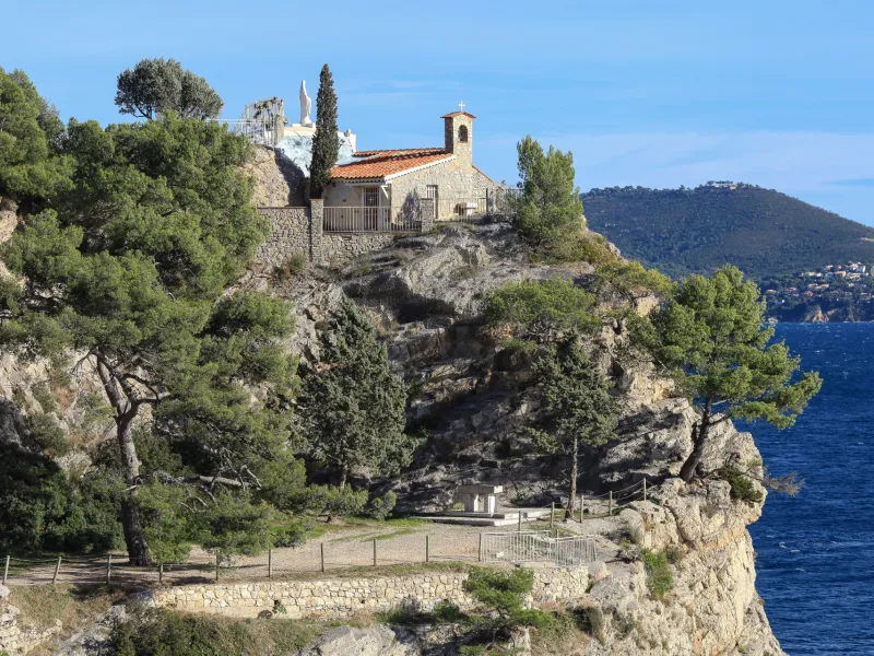
4 Fréjus / Montauroux
5 Montauroux / Vence