All stages on Veloscenic : Paris to Mont-Saint-Michel cycle route
Domfront / Barenton
La Véloscénie - J. Damase 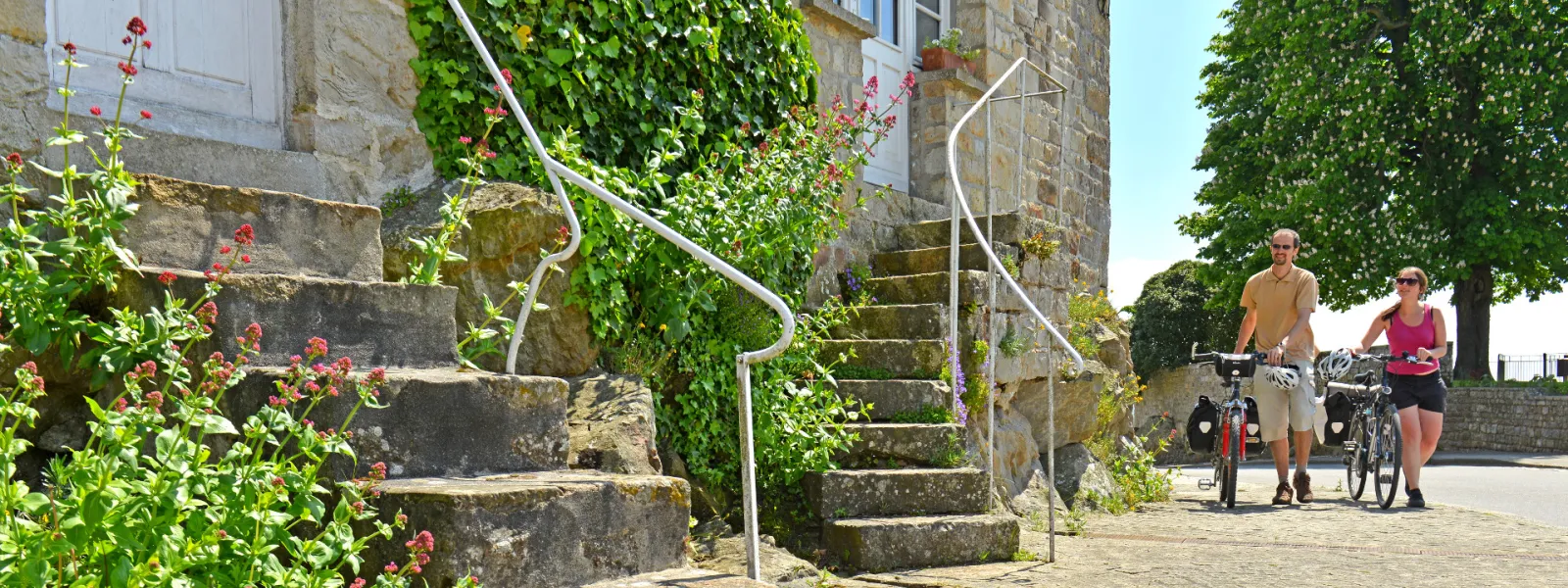
The exit from Domfront isn't easy, with a steep slope and a lot of traffic. However, La Véloscénie then joins a greenway, allowing you to enjoy the beautiful, typical Bocage Normand countryside, particularly beside the Sélune River.
Gradients and elevation
Ascents: 31m
Descents: 62m
Lowest point: 100m
Highest point: 157m
Road types
17km (100%) Cycle path
Surface
17km (100%) Smooth
Itinerary
Take great care heading down from Domfront to join the greenway at the bottom of town, as the slope is very steep and the D 976 road here is very busy. After that, follow the peaceful greenway to Barenton.
Links
At the bottom of Domfront, there's another greenway heading north almost as far as Flers station.
Tourism Offices
Domfront : +33 2 33 38 53 97
Not to be missed
Barenton : The Apple and Pear House (by the link) +33 2 33 59 56 22.
Trains and transport on the route
- Gare de Flers (ligne Paris-Granville) accessible en suivant la voie verte sur l'itinéraire de la Vélo Francette direction Ouistreham pendant 20 km.